States Visited Today
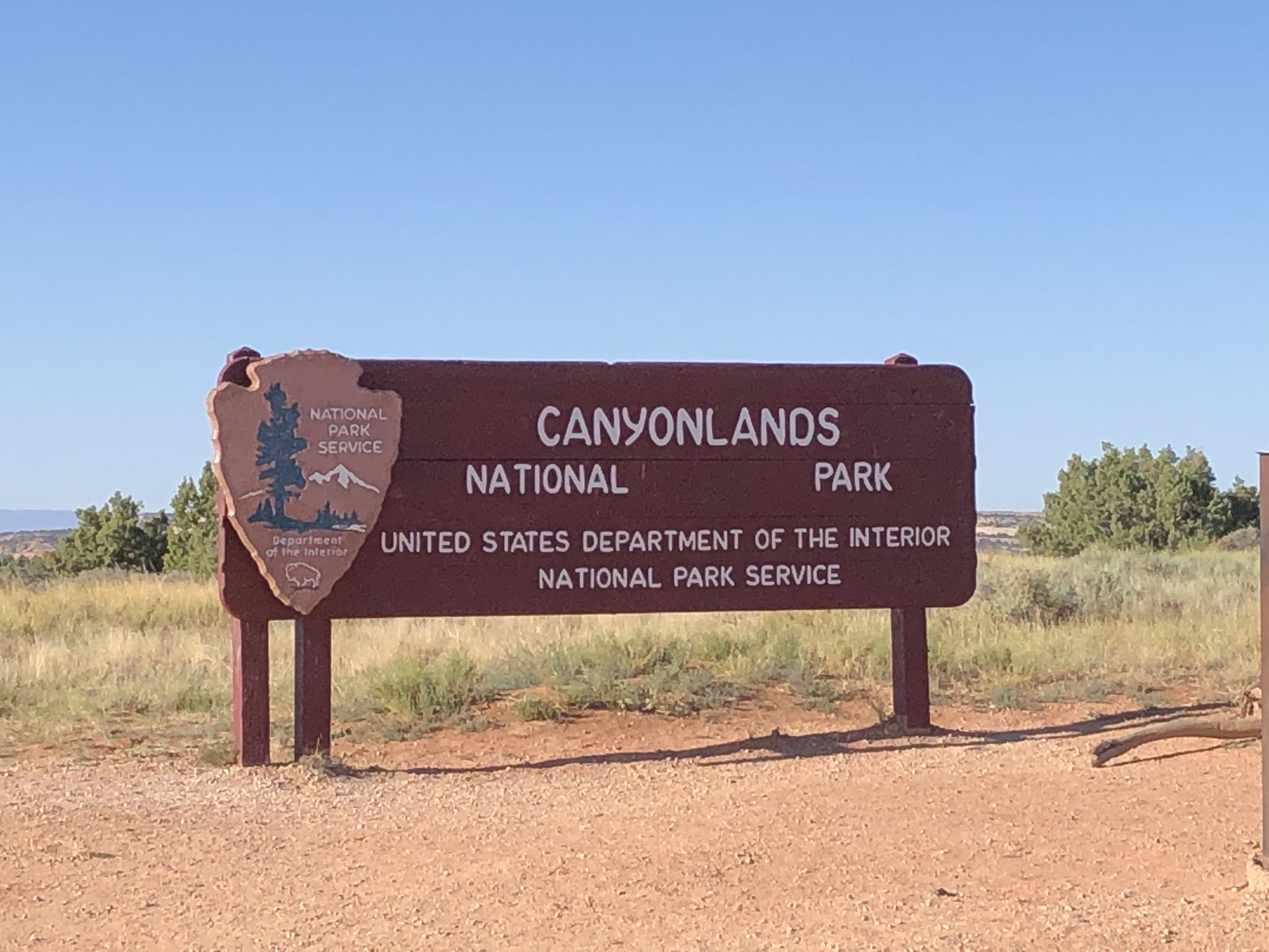
On the morning of June 30, 2020, we woke up bright and early. I had the leftover pizza and showered really quickly. After packing up we were off to see the Canyonlands National Park.

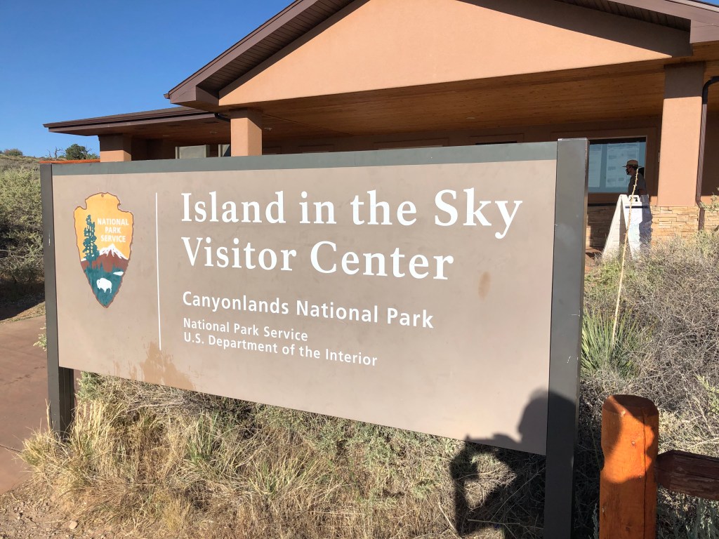
The first stop, after climbing the road onto the plateau, was the Island in the Sky Visitor Center. We picked up some maps and got our stamp and was off to the see the park. As you can see from the photo above, it looked to be a promising, bright, and beautiful day ahead of us.

Our first destination was the Mesa Arch. It is a smaller arch, but has a view due east and is supposed to be a good spot for catching sun rises. I tried to get Andrea to wake up early so we could do just that, but she wasn’t having any of it. To be honest, I kind of wanted to sleep in too. Oh well, maybe next time!
The trail to the arch was short and pretty easy.
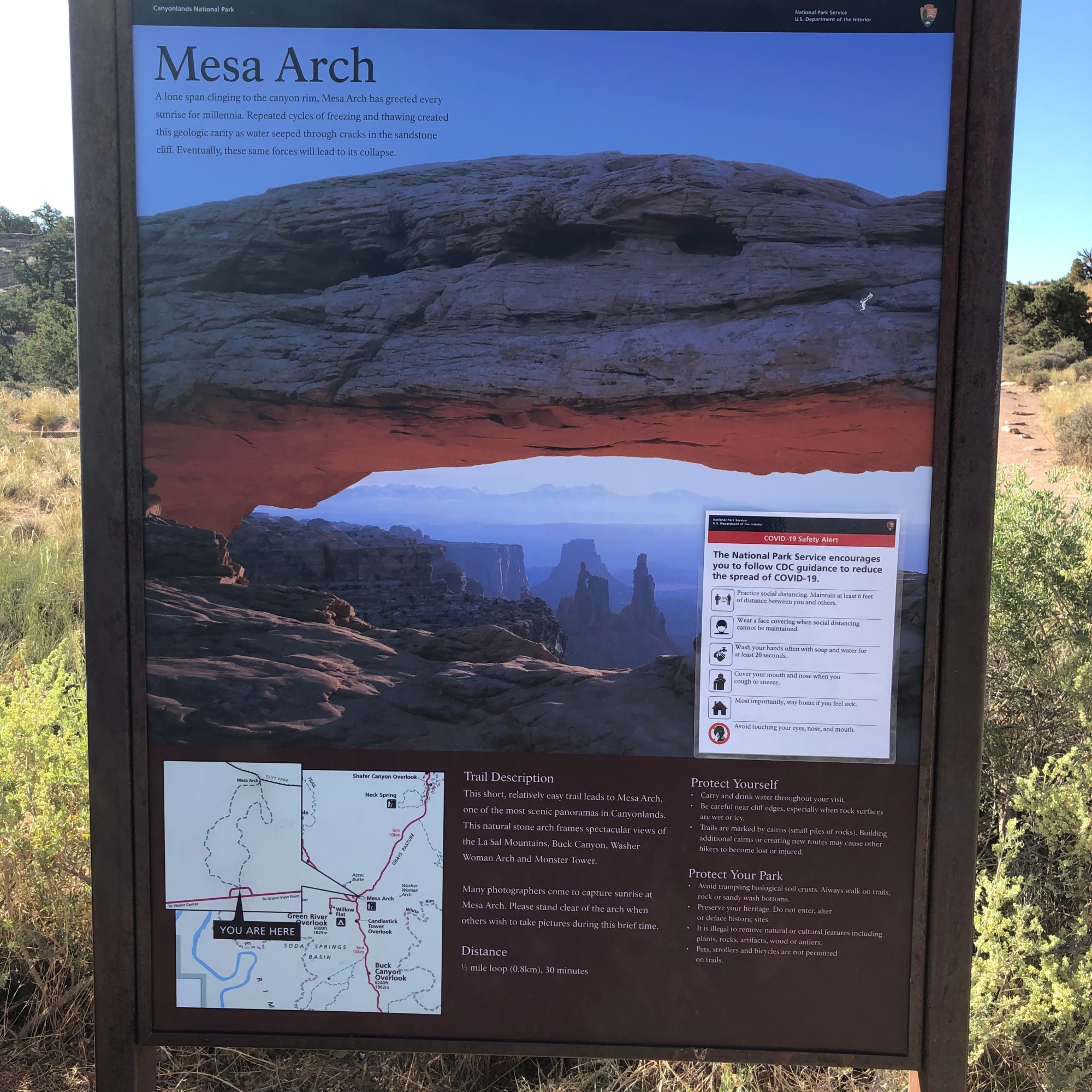
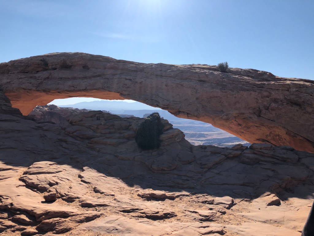

The view from inside of the arch was quite magical as well. I could see why it was a popular spot for photographers to catch the sunrise.
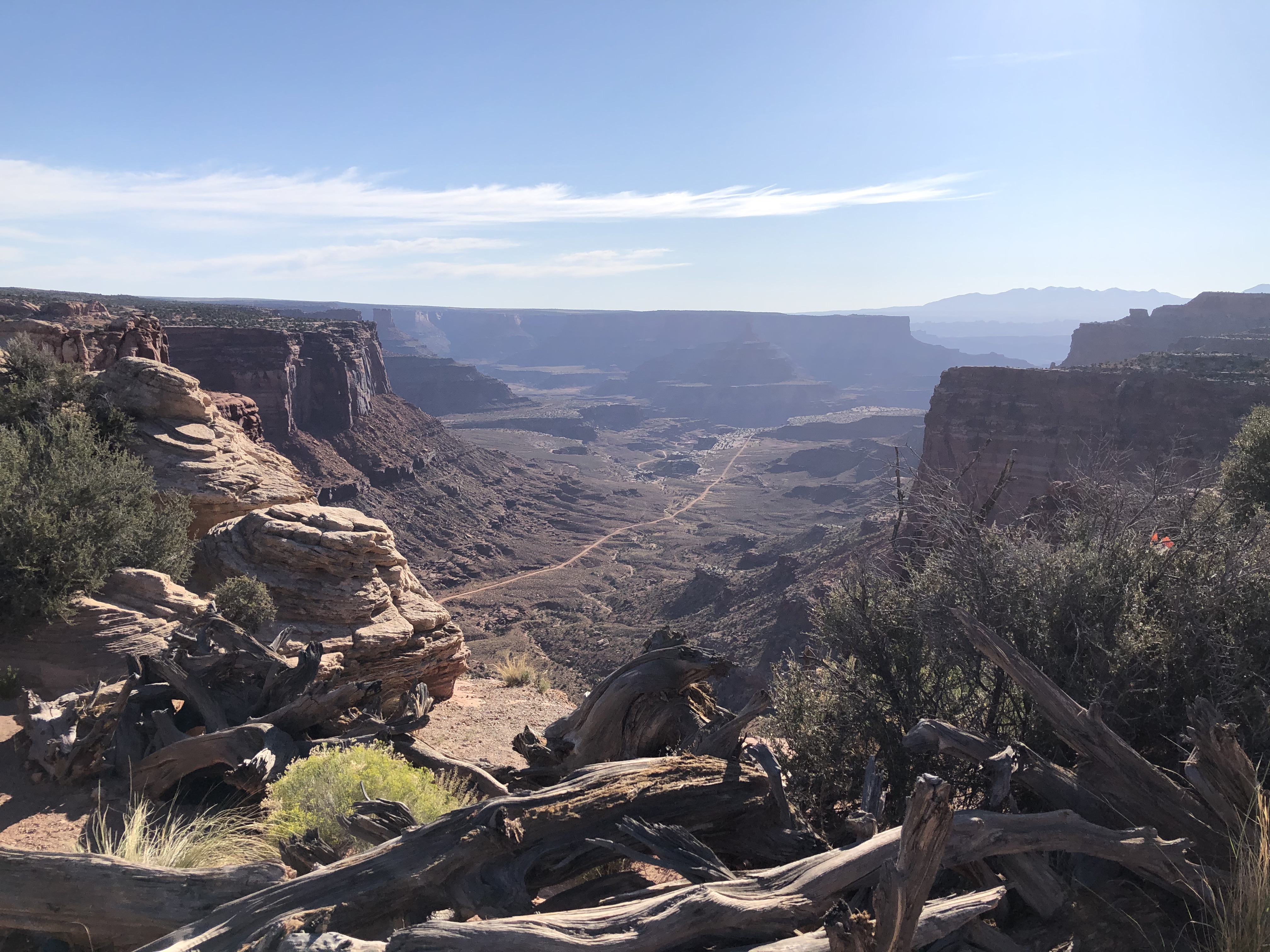
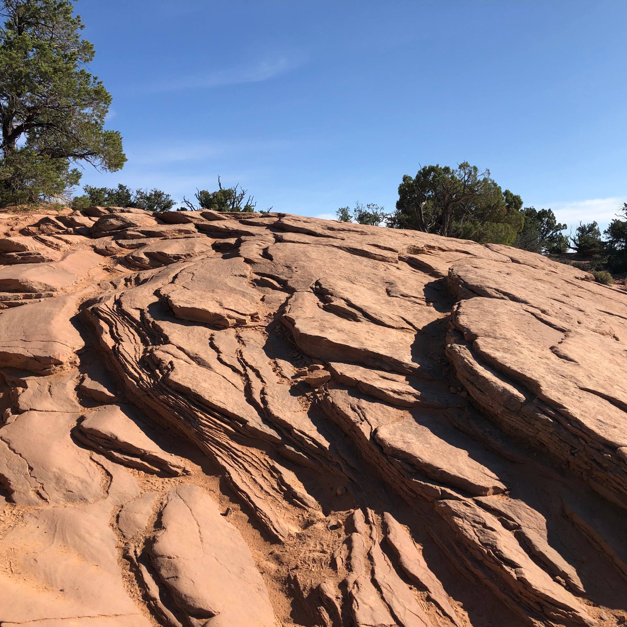
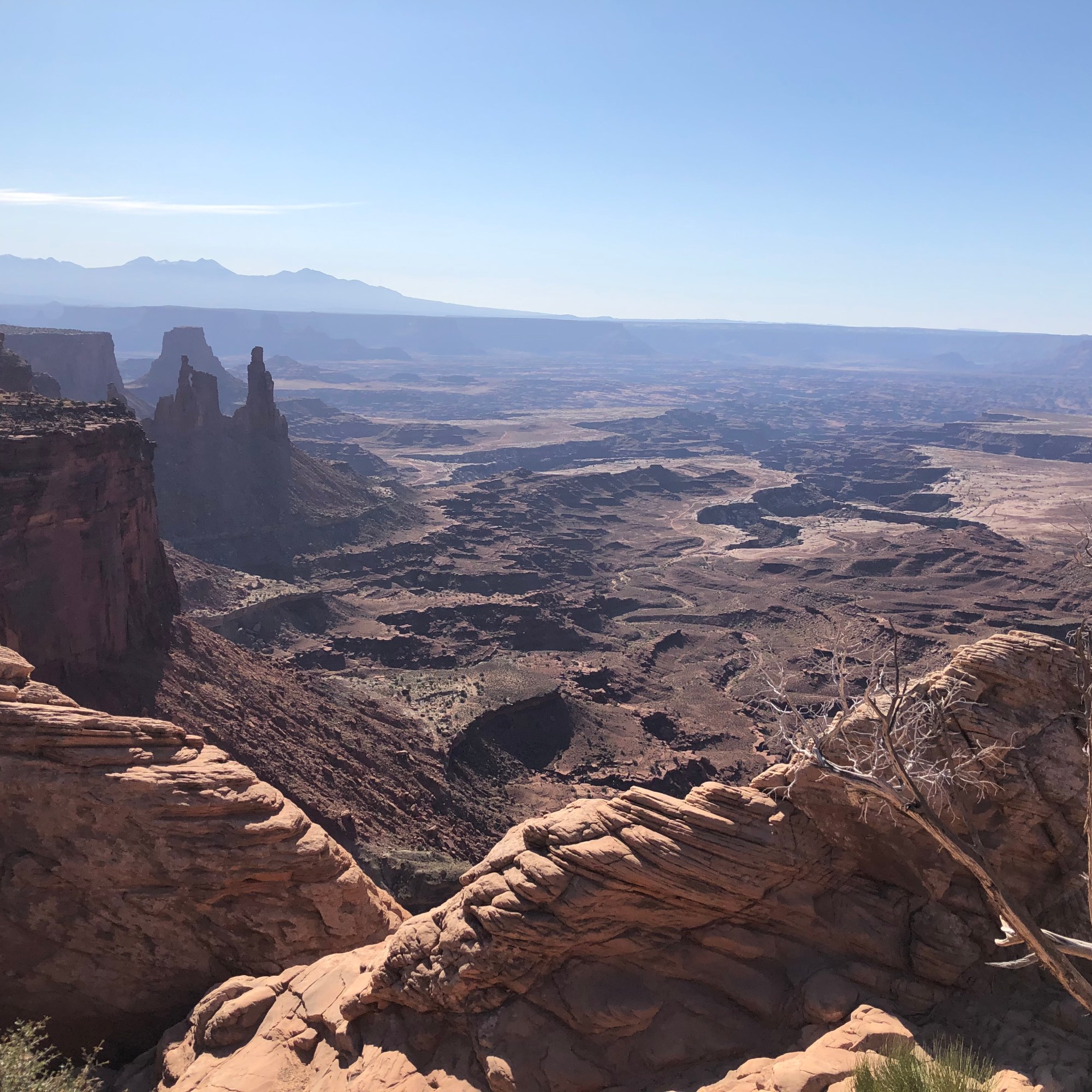
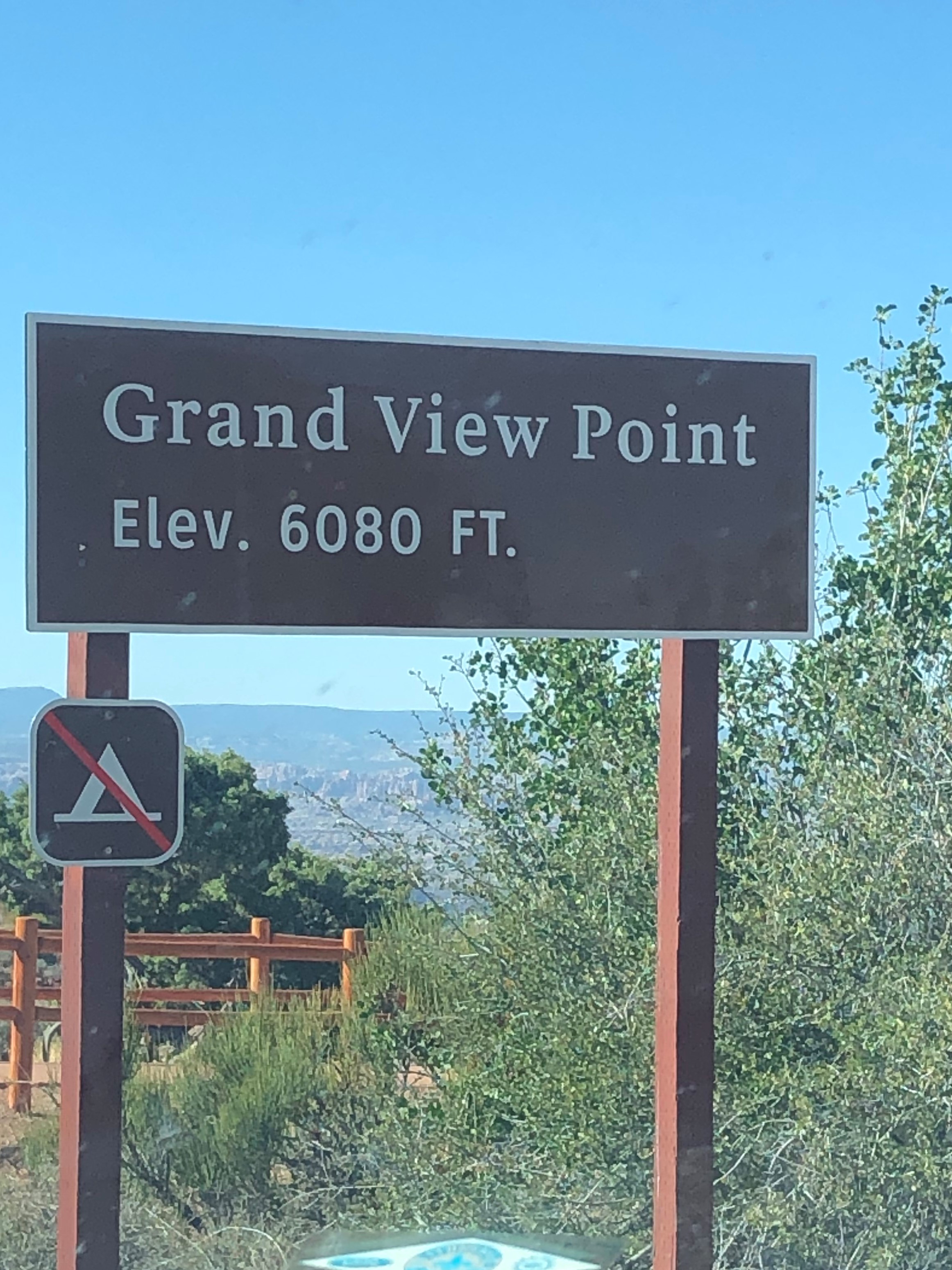
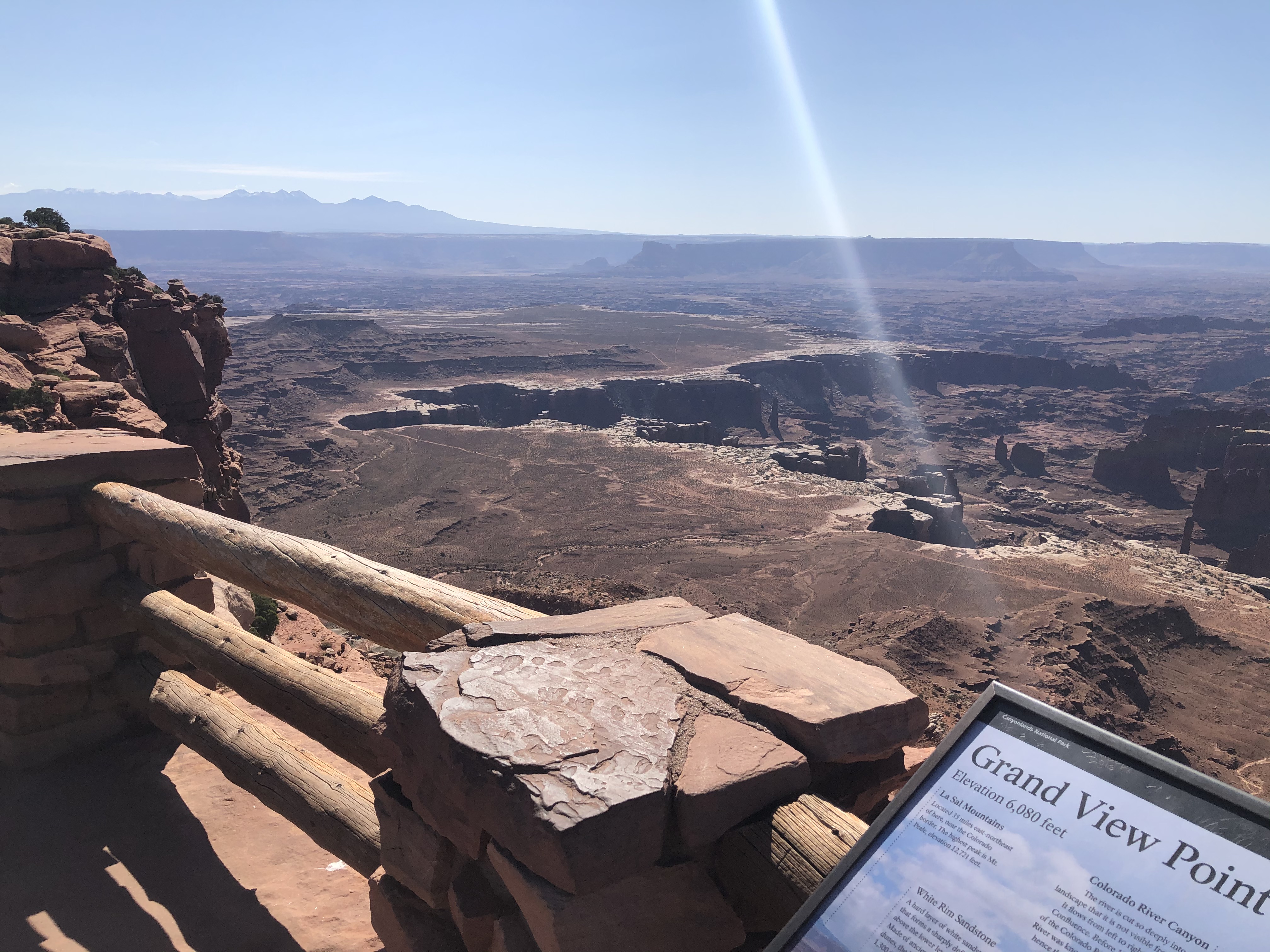
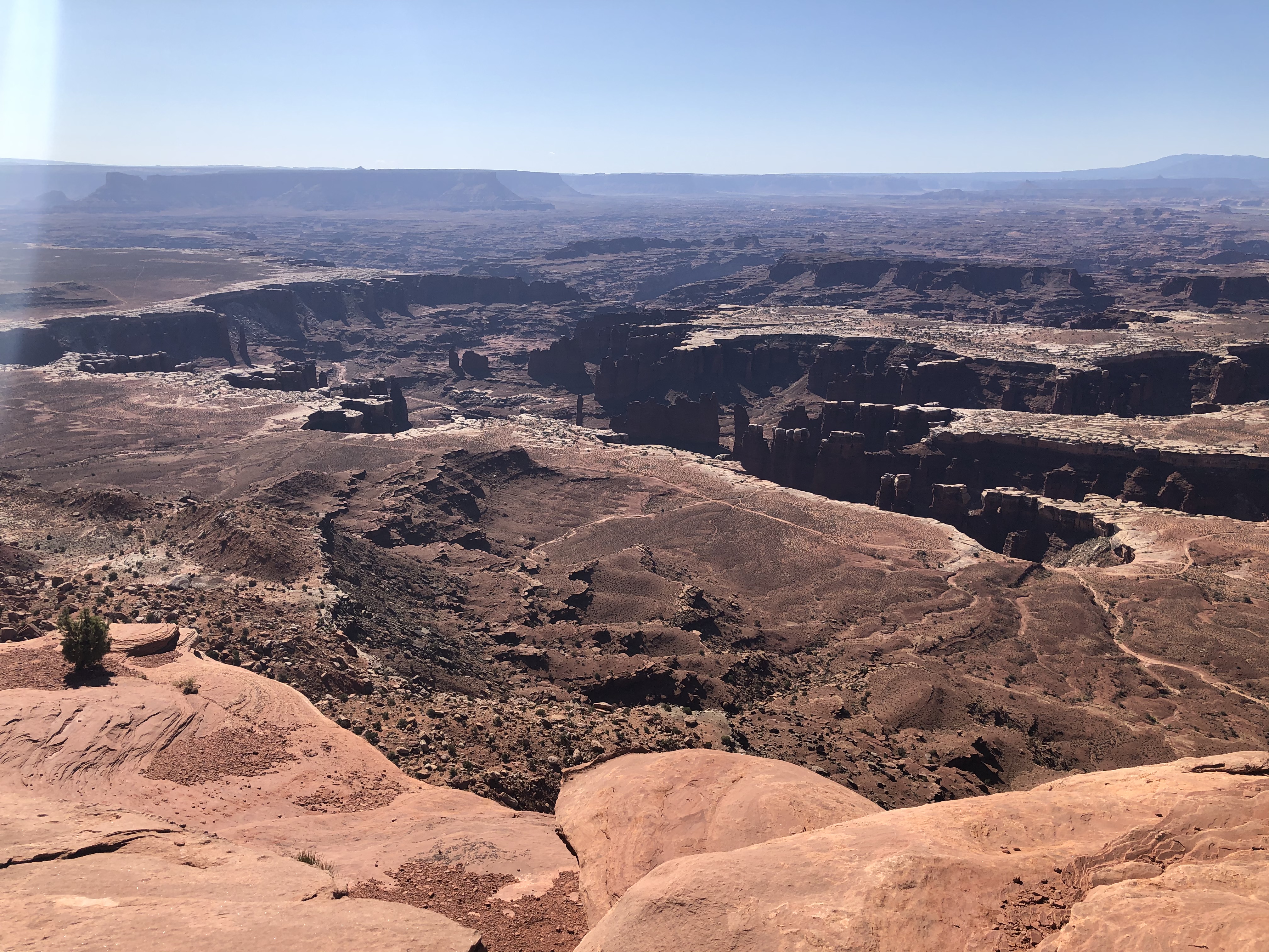
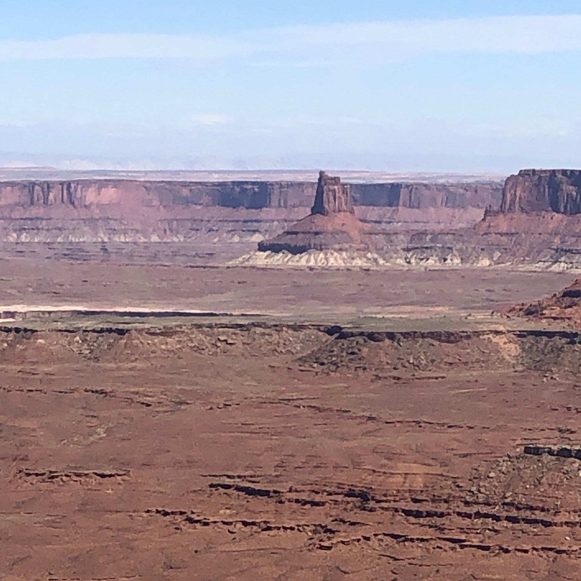
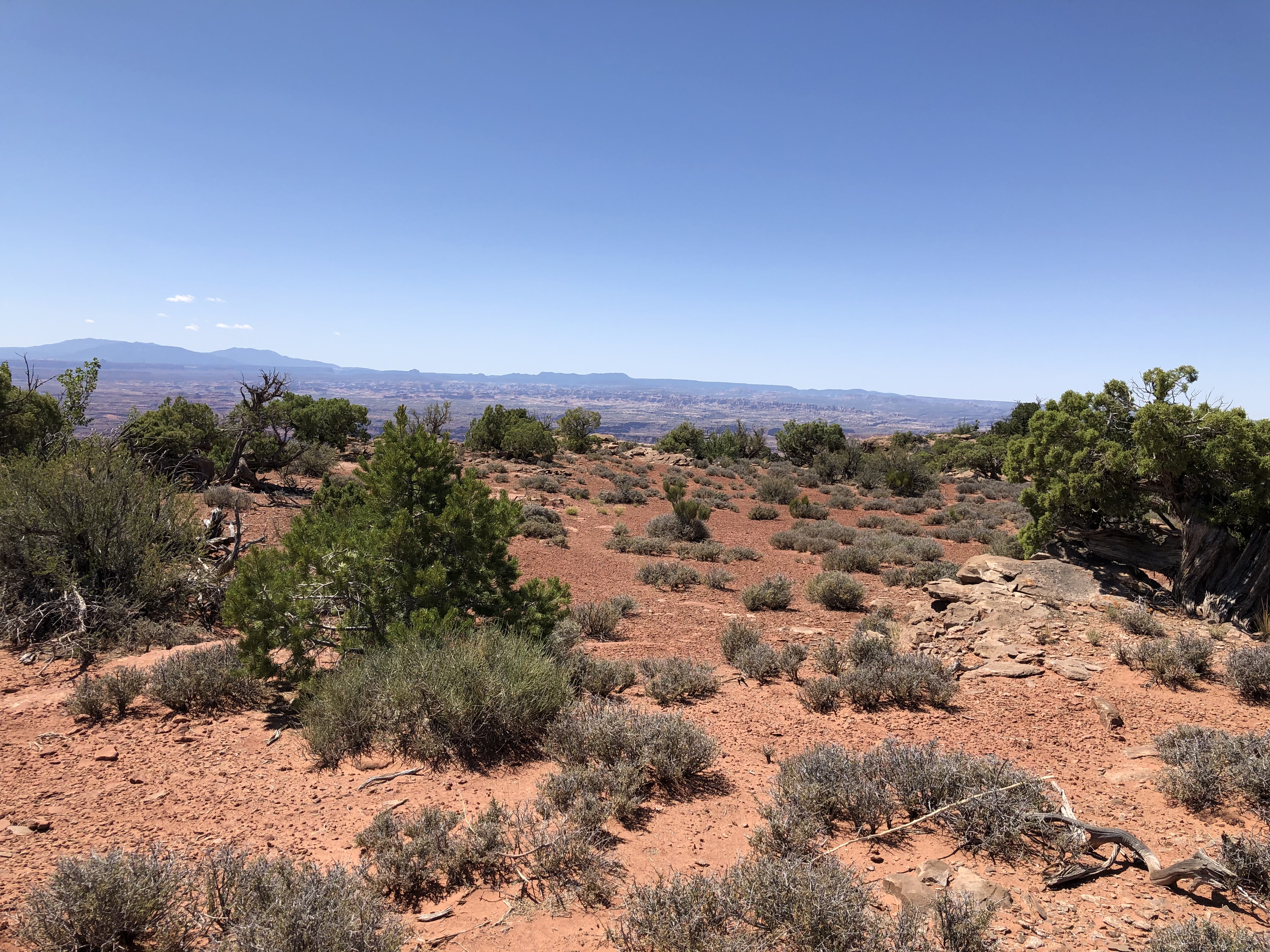
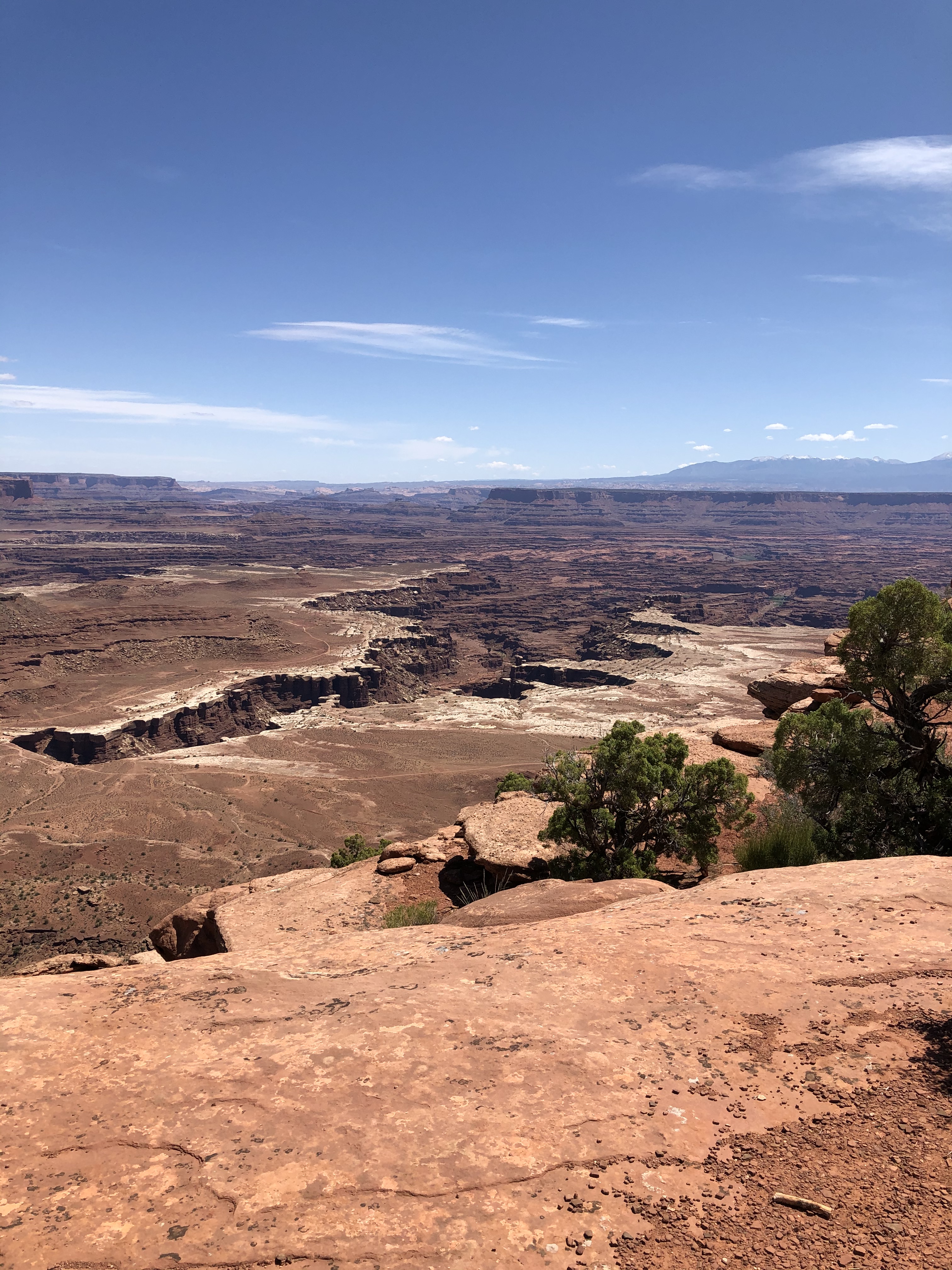
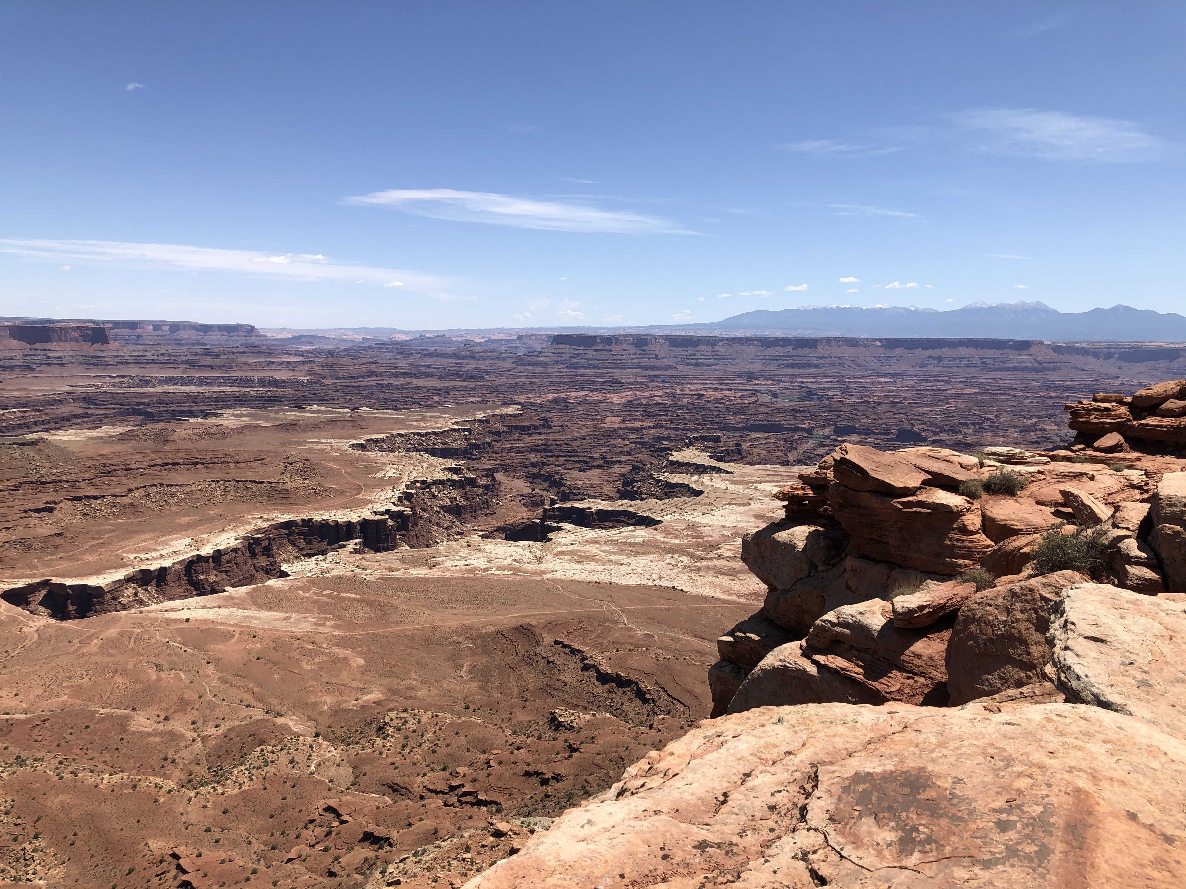
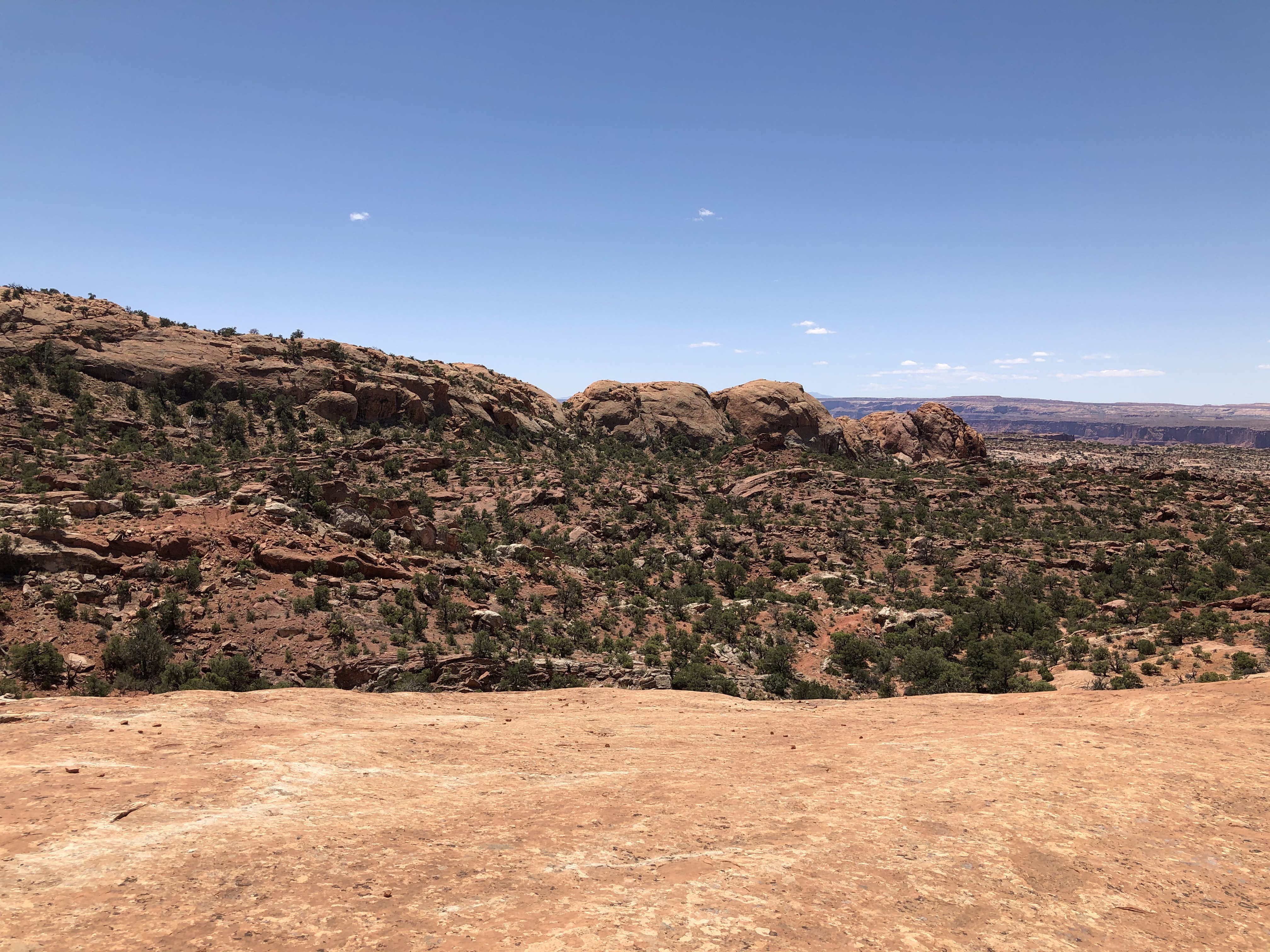
From here we went as far south as we could to the Grand View Point and trail. This trail wasn’t too bad either with some minor up’s and down’s. It led all along the southern portion of the plateau, yet had good views of the west as well. The amount of canyons in the area was astounding…so many layers of rock worn away to show canyons within canyons.


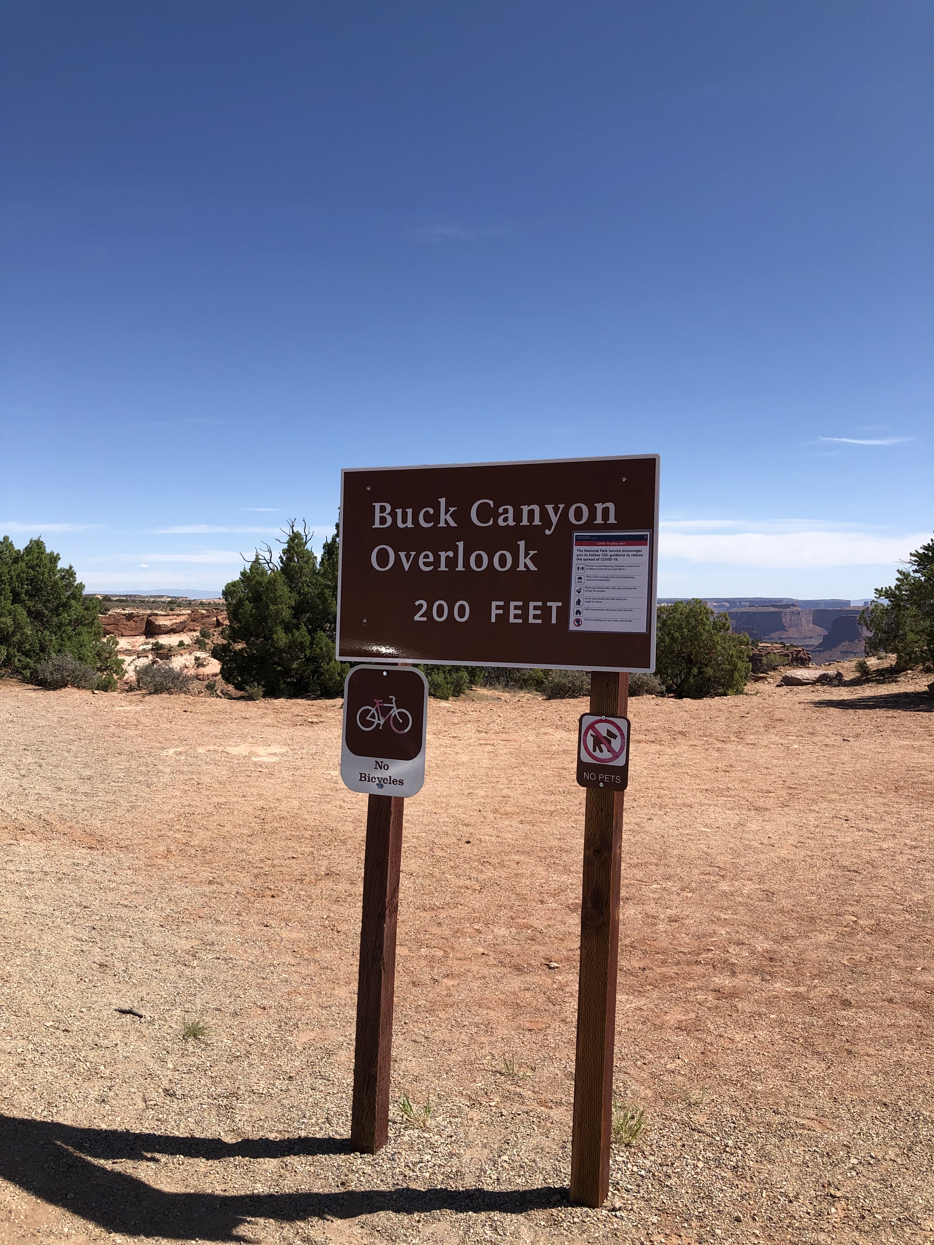
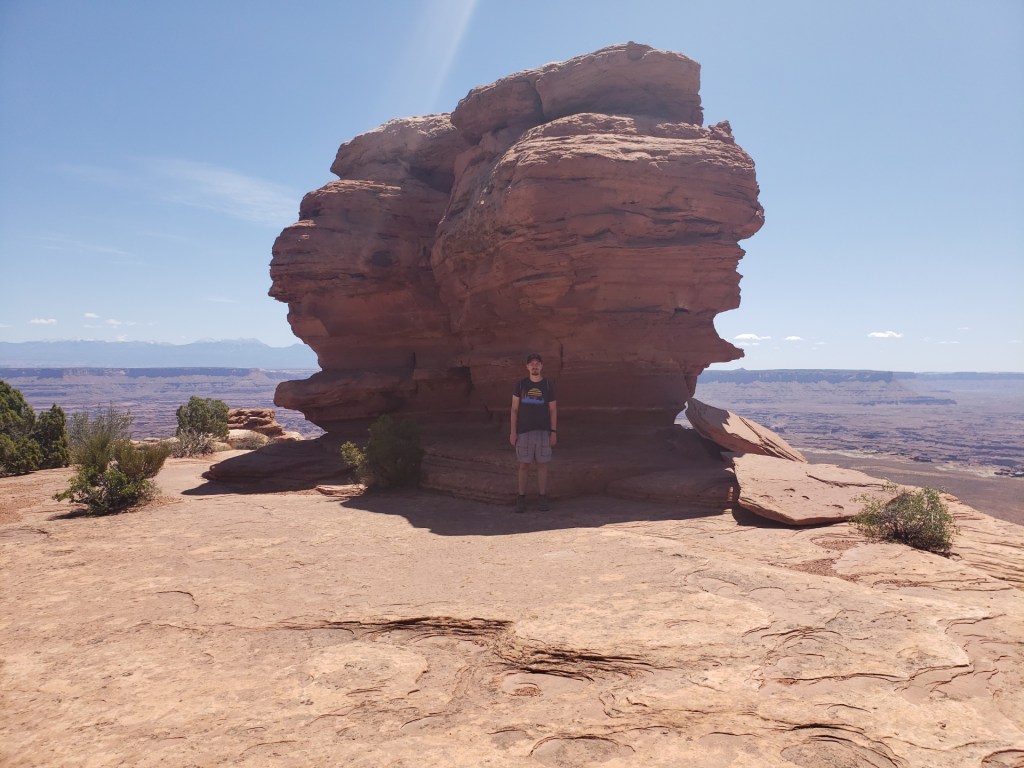
We took a short stop at an overlook before our next trail.
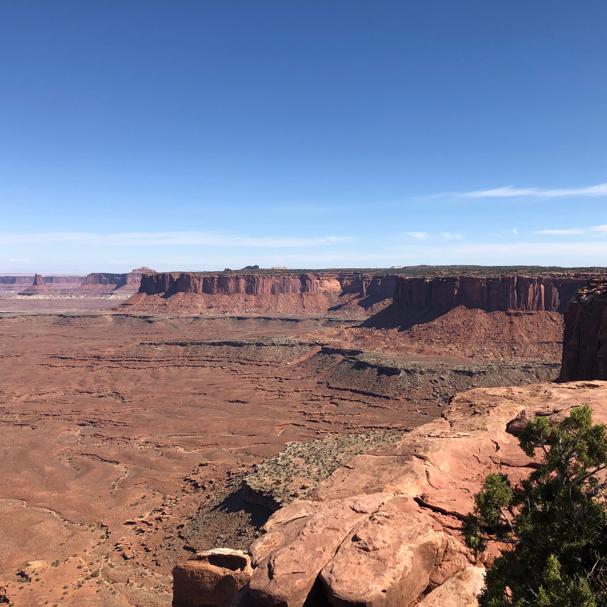
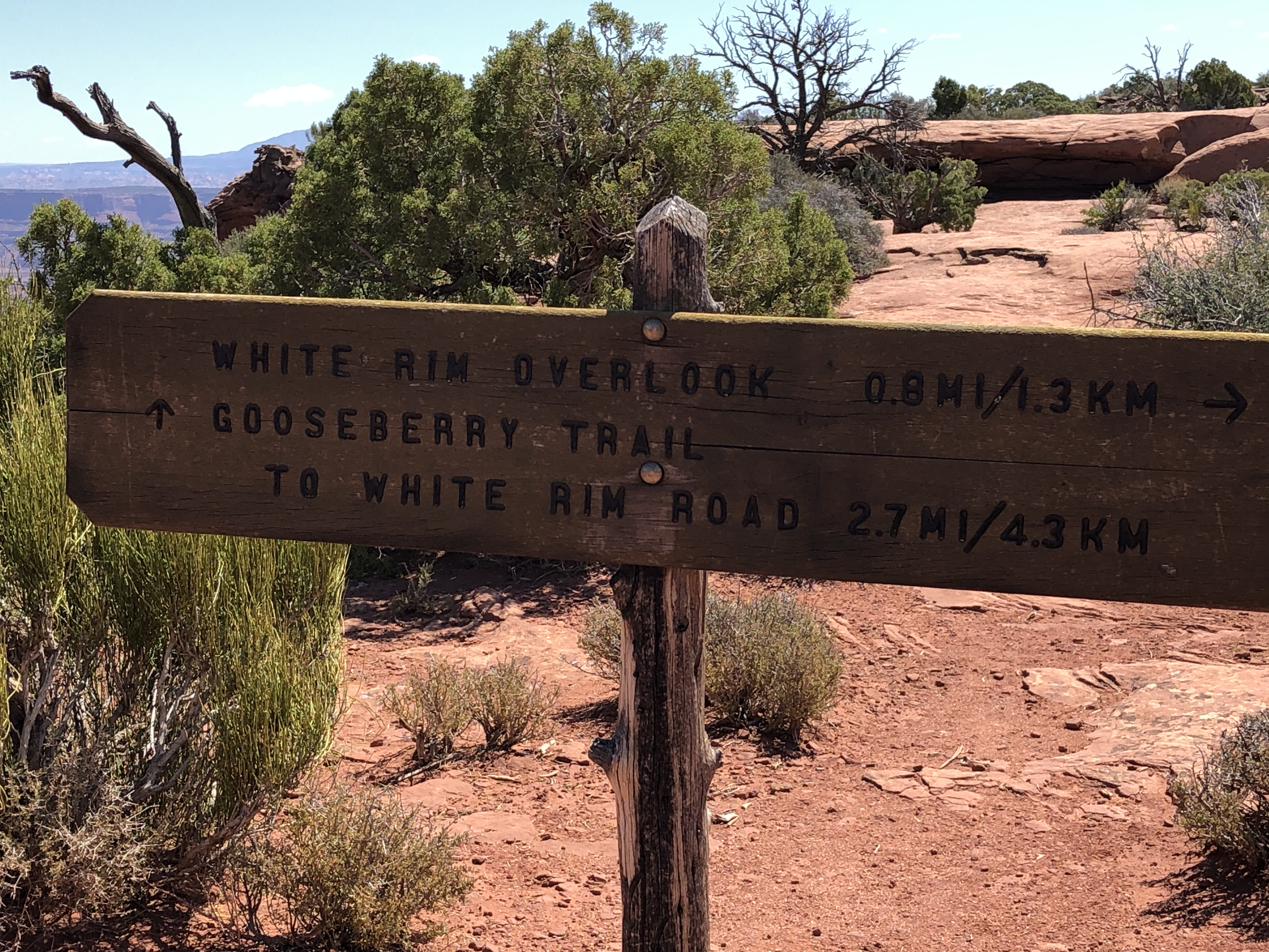
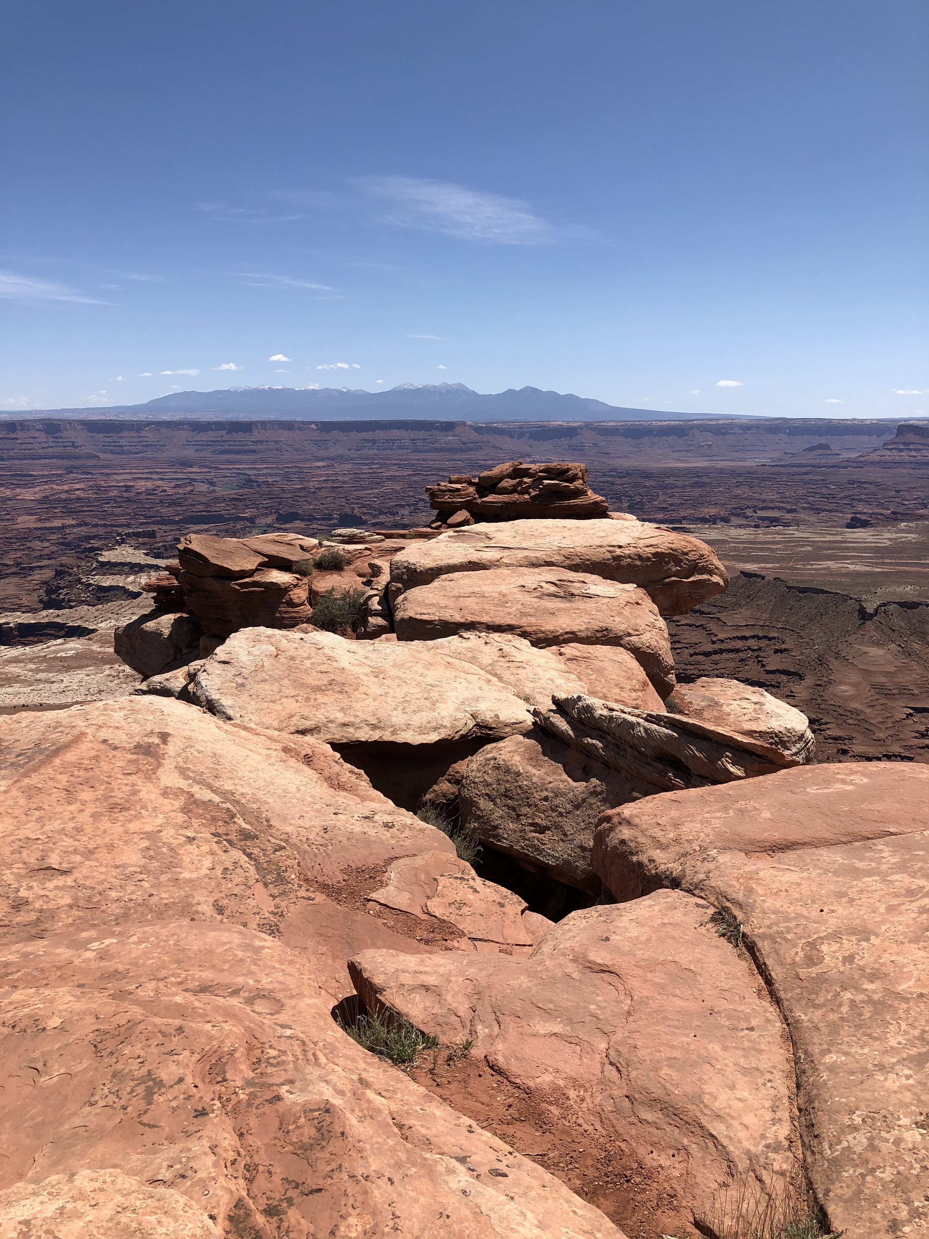
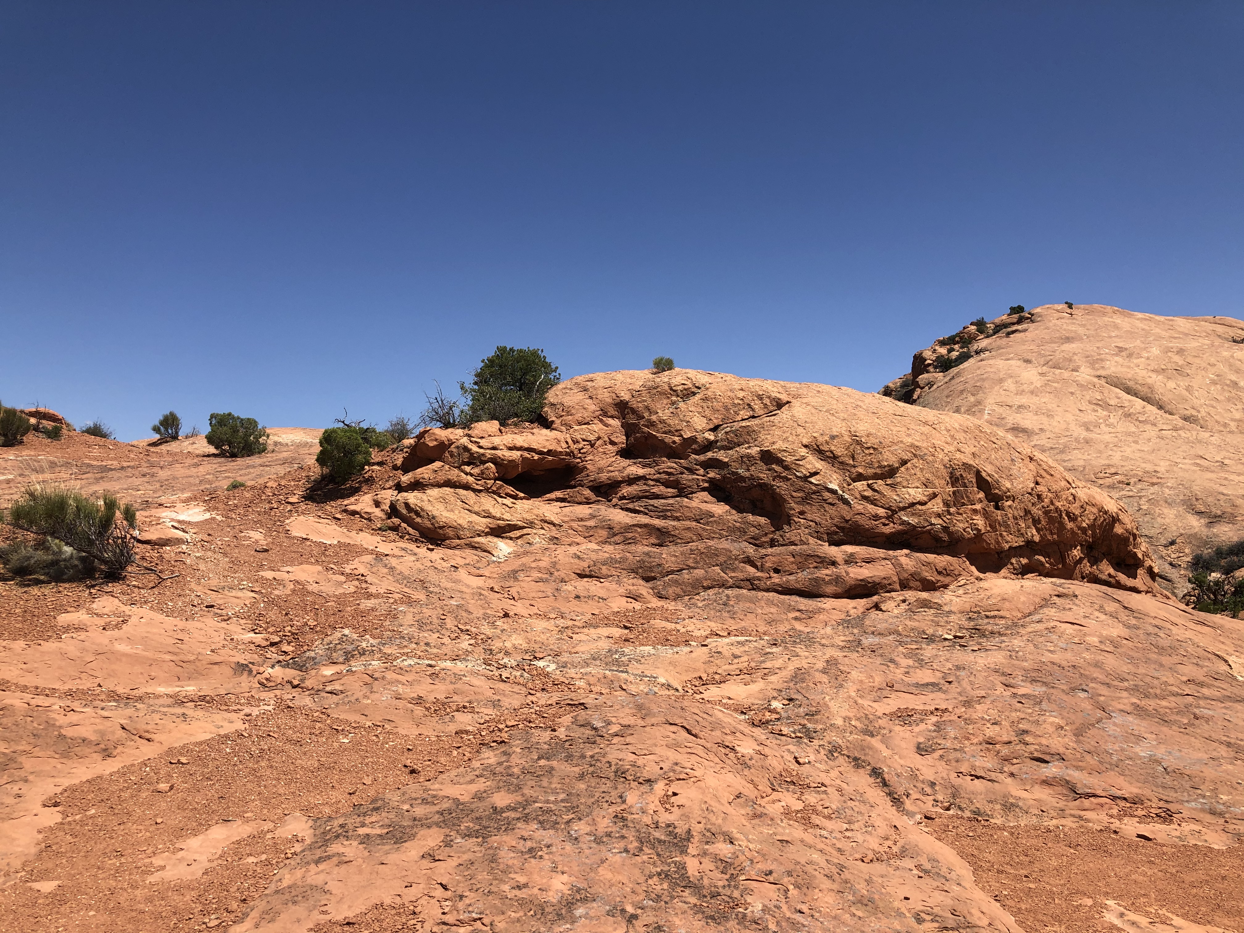
Next, we took the White Rim Overlook Trail. It was mostly flat too, with some up’s and down’s that were not too bad. There were a lot of trees and different bushes and foliage along the way. The end of the trail gave a great view eastward of more canyons.

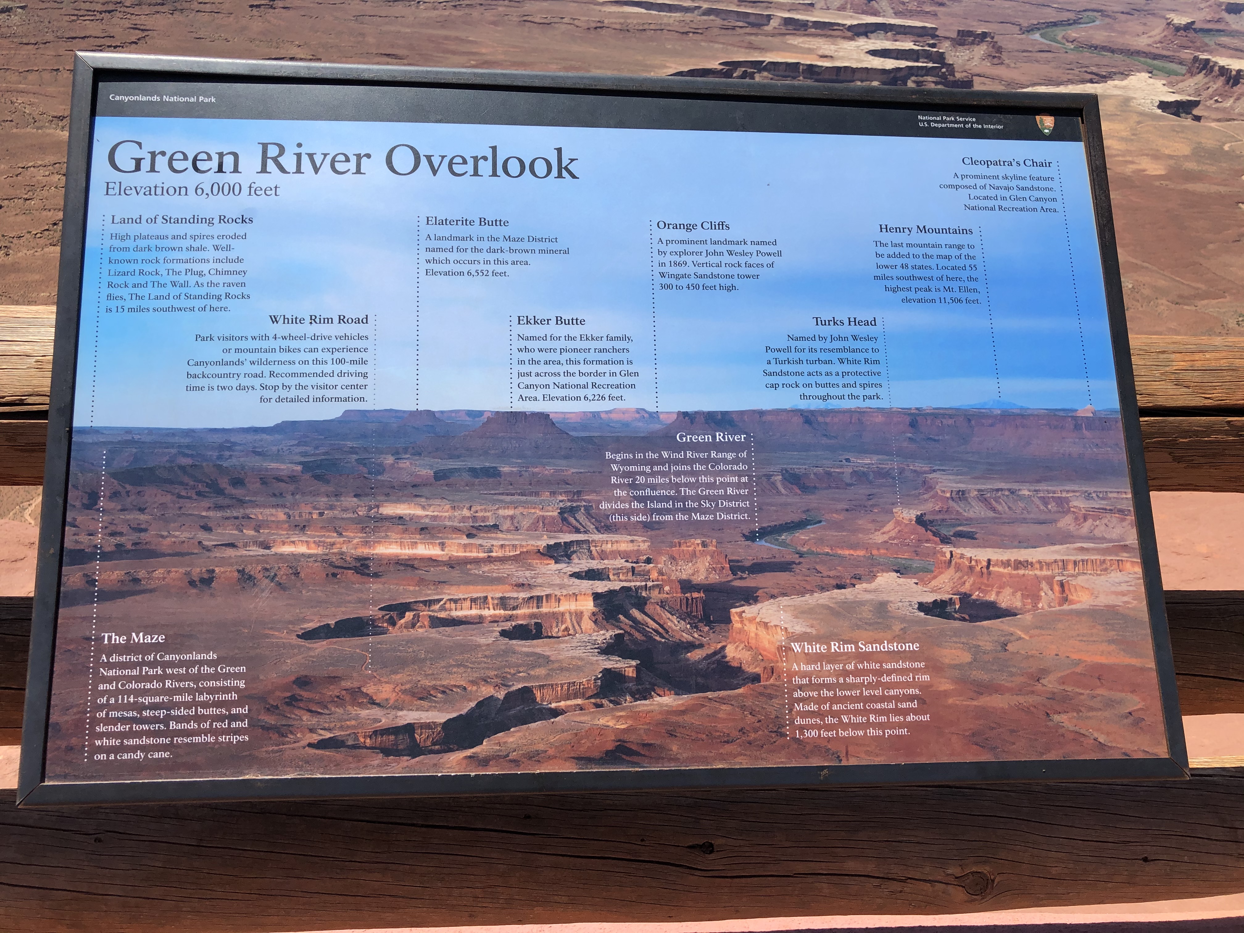
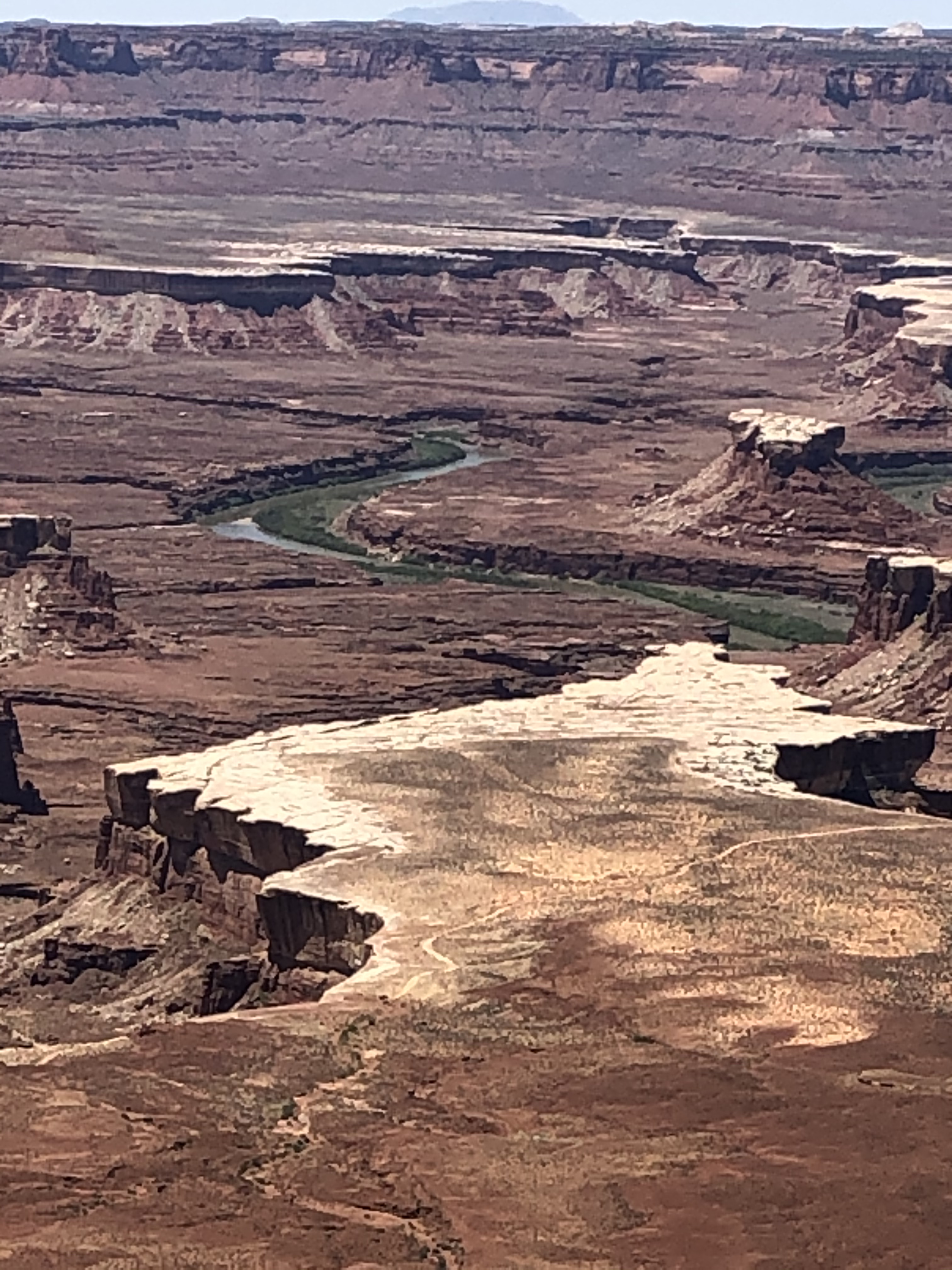
We then took a short drive to the west side of the plateau to check out the Green River Overlook.
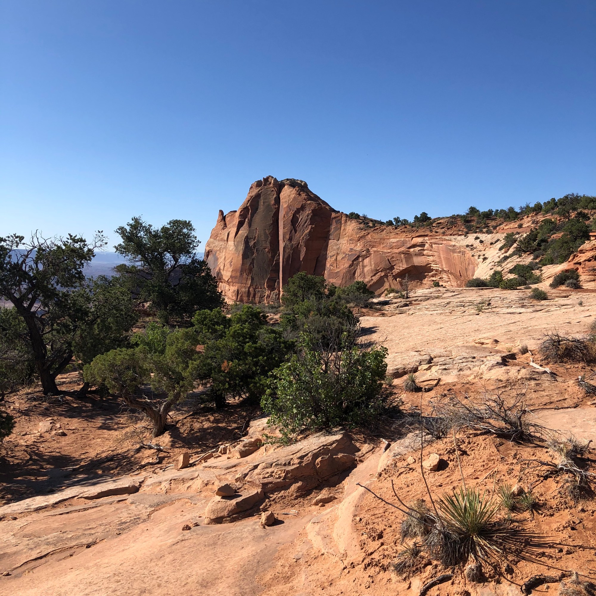
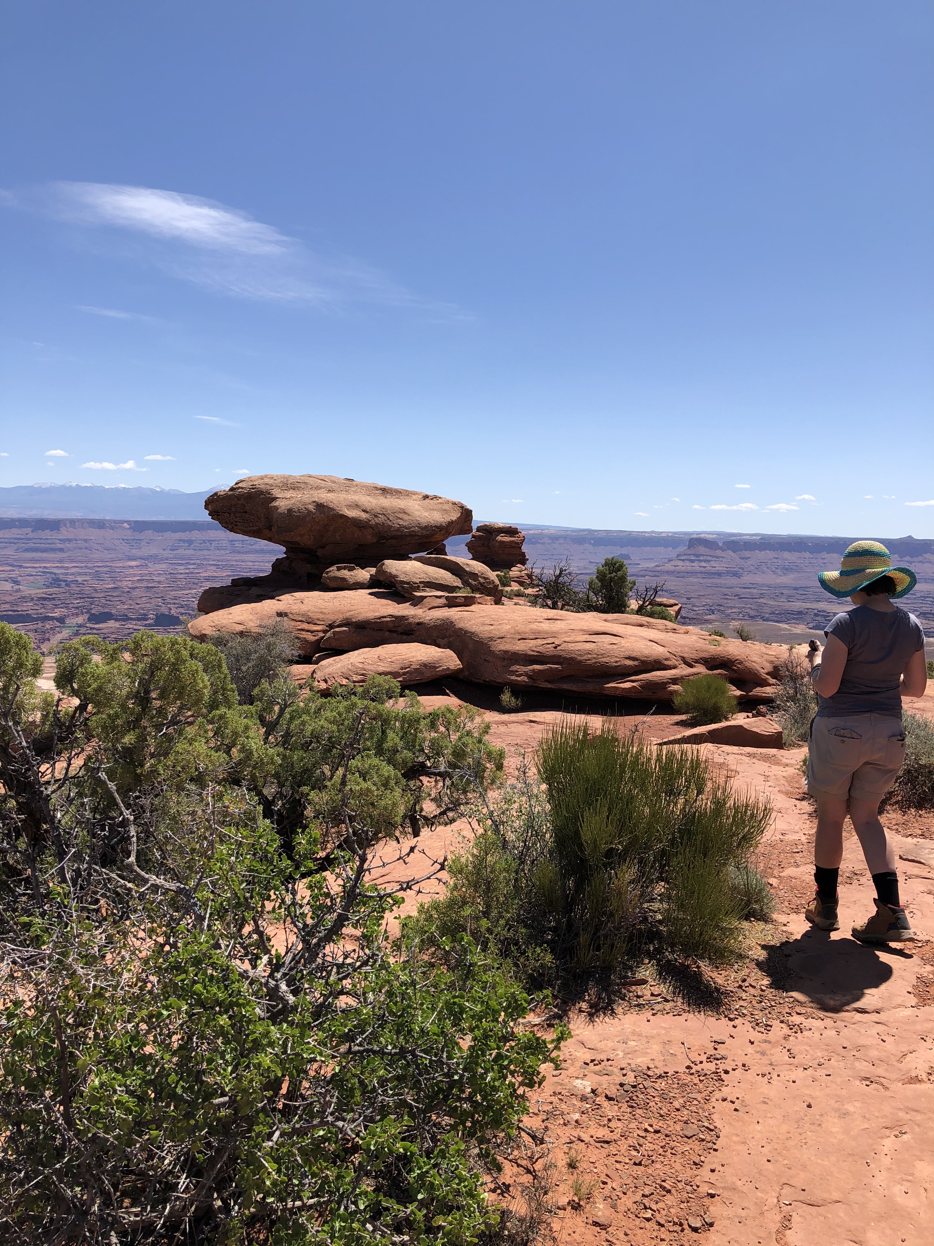
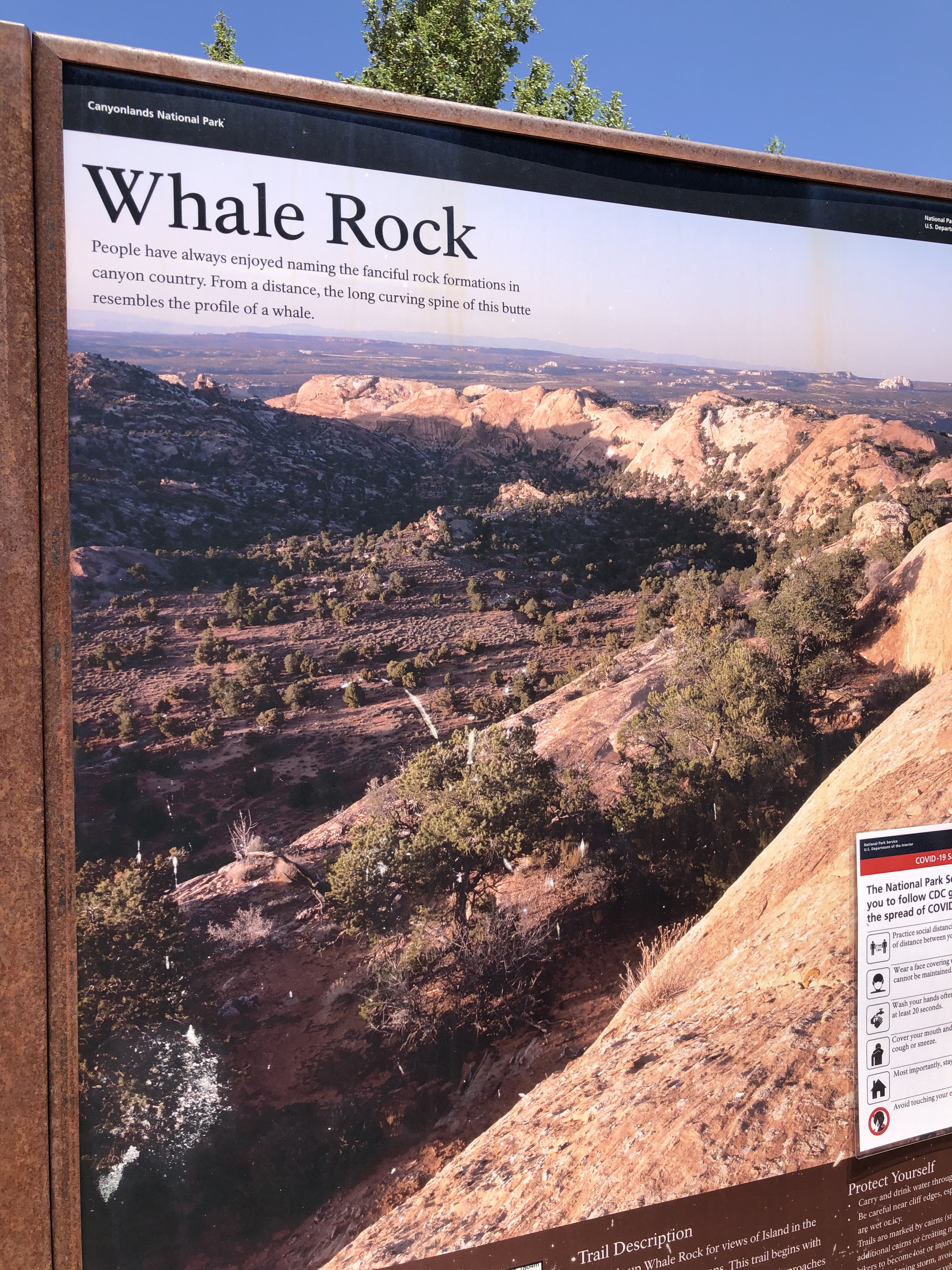
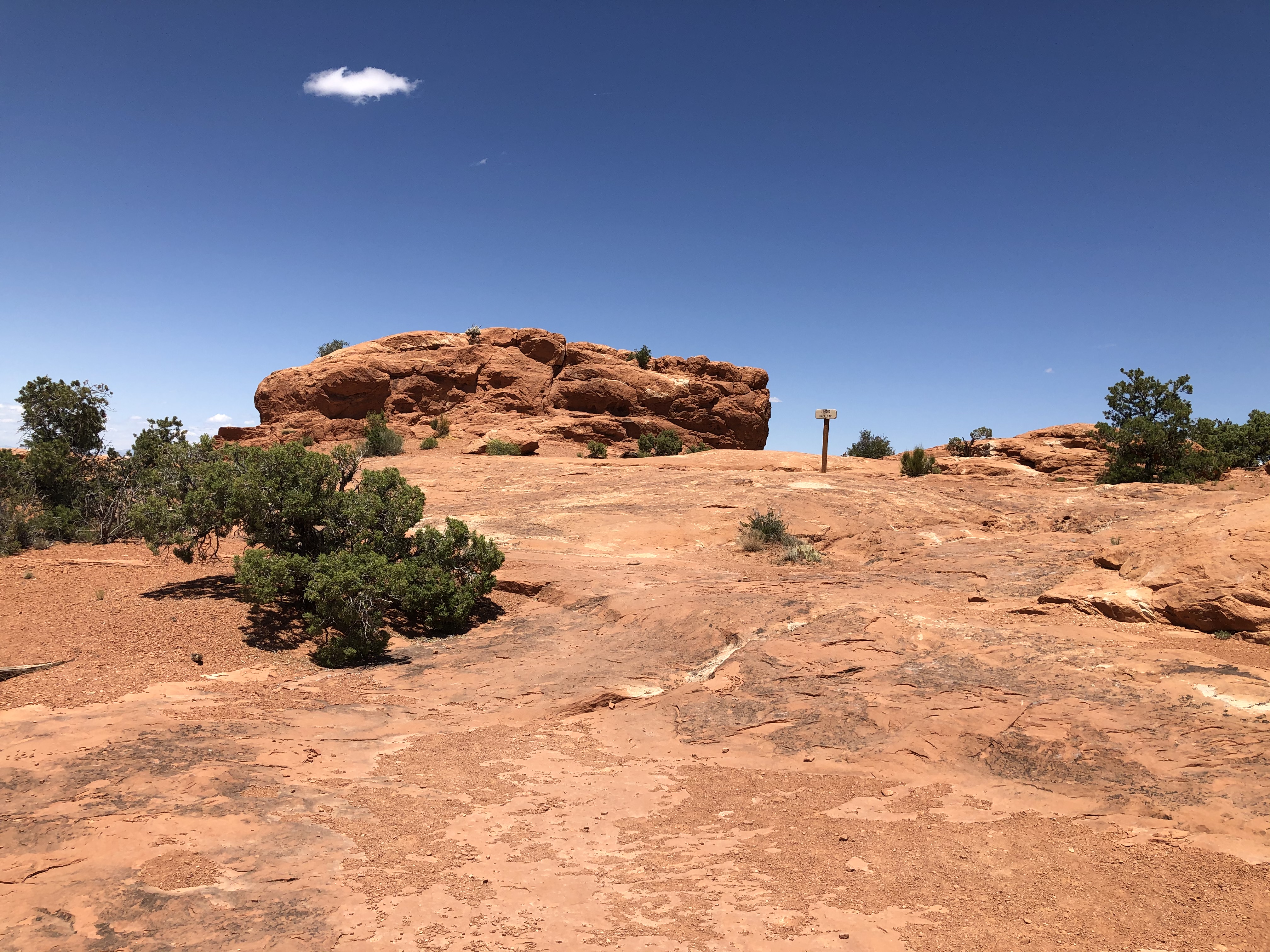
Then it was off to the Whale Rock Trail. Whoever named the rock was not joking. It is massive! The trail to the top of the giant rock was somewhat strenuous with some bigger climbs on some other large rocks along the way and a decent incline to go up the Whale Rock itself.
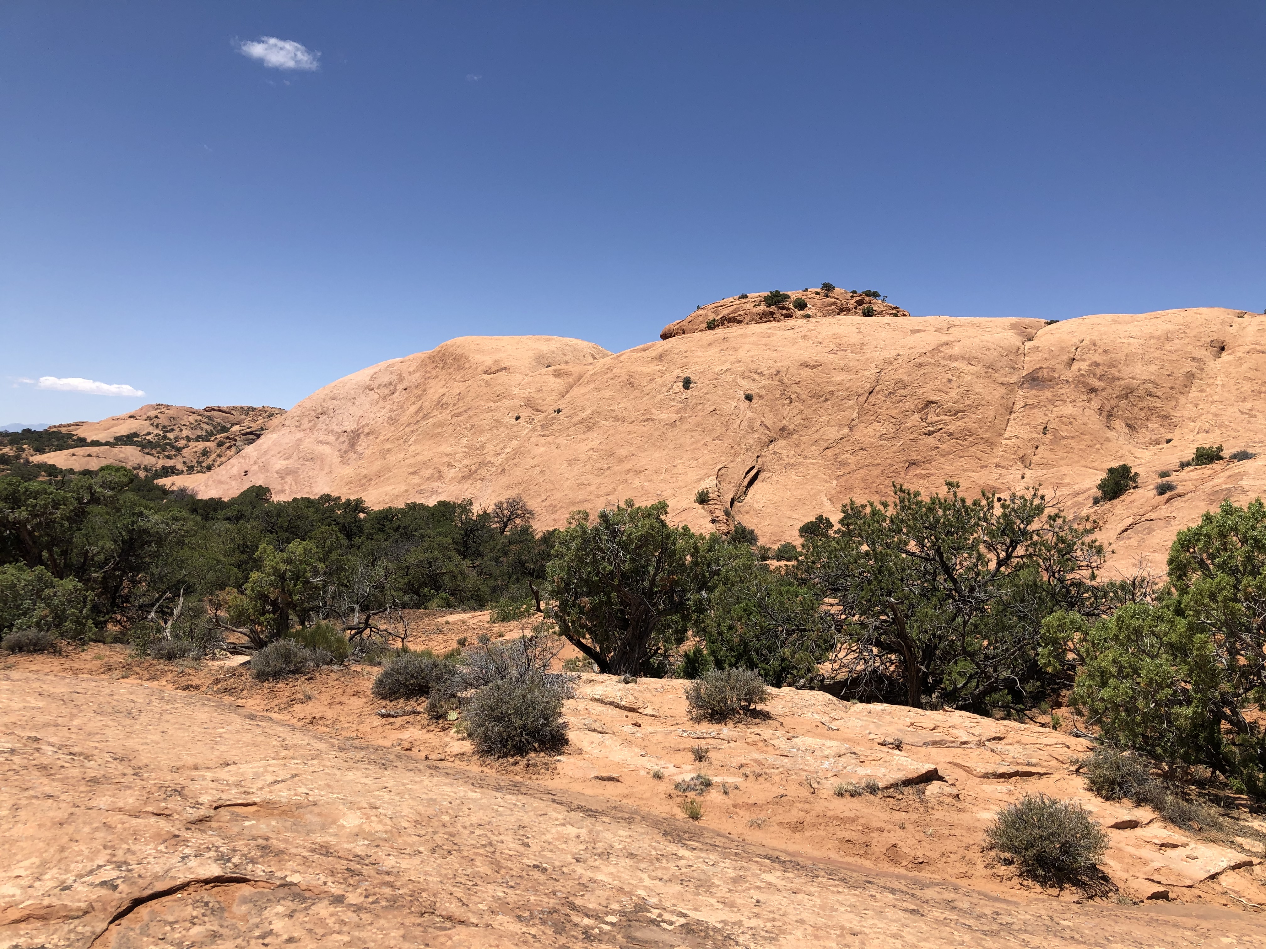
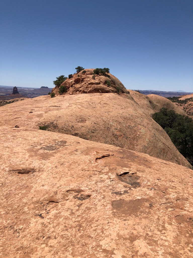
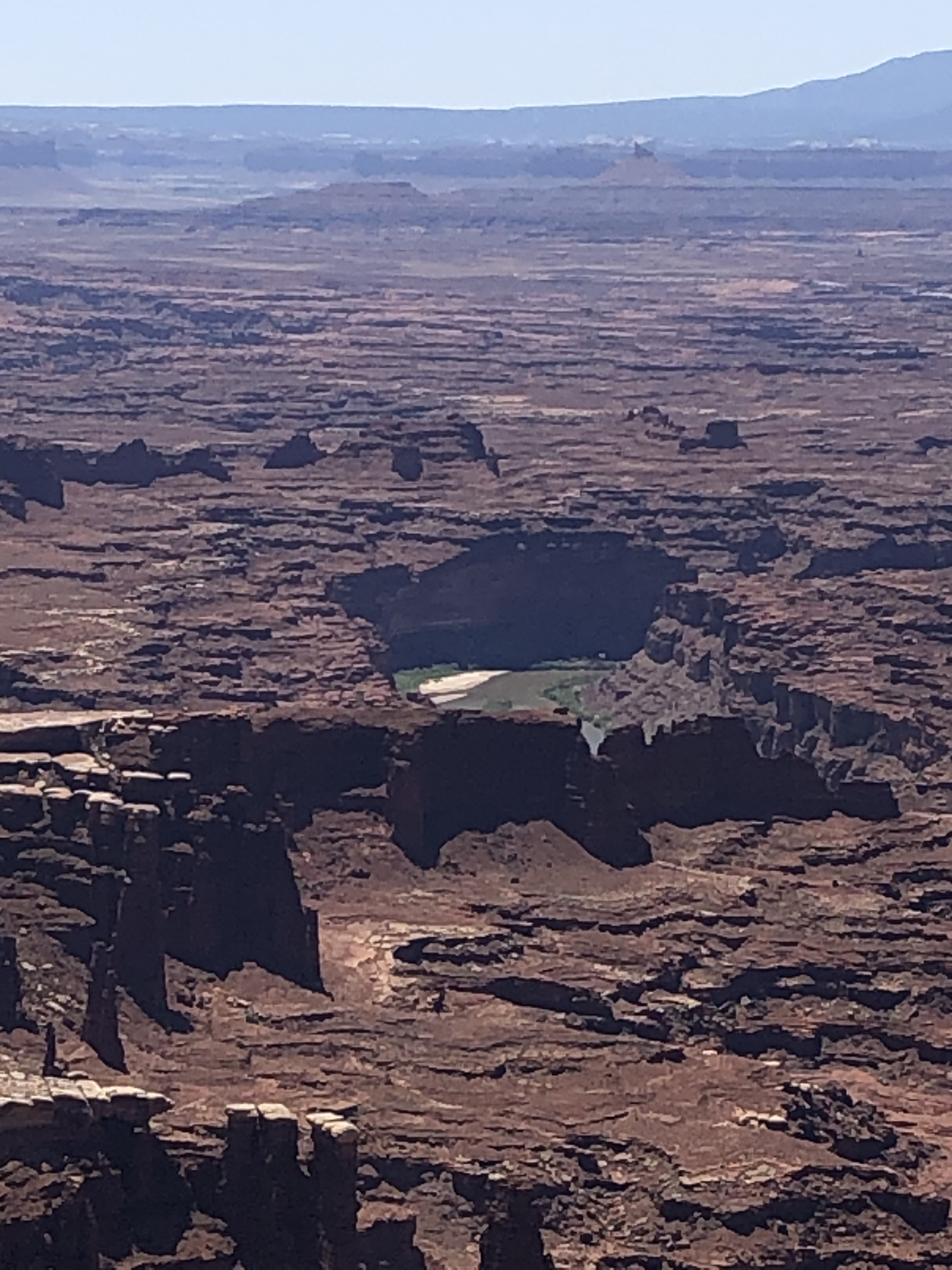
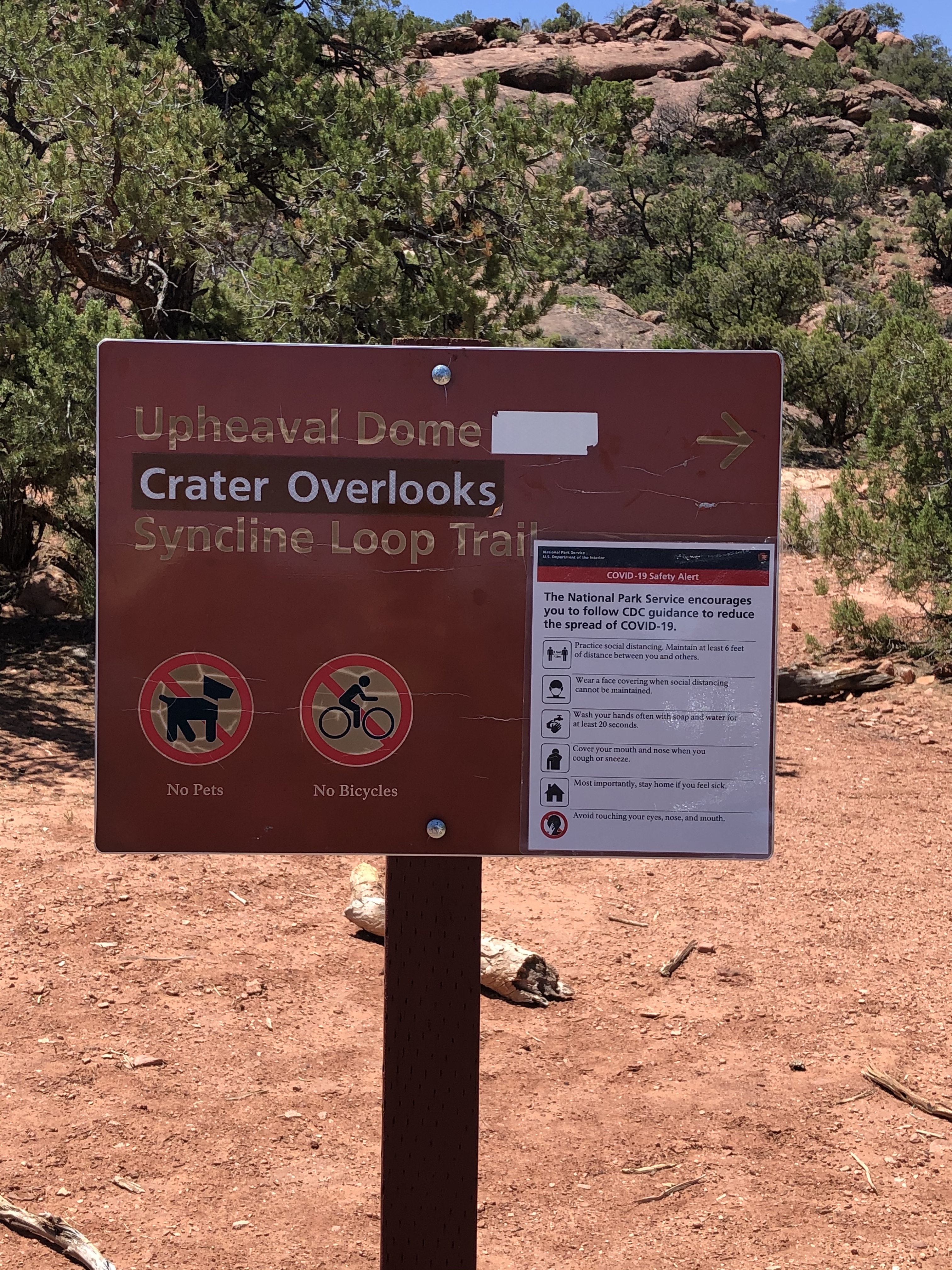
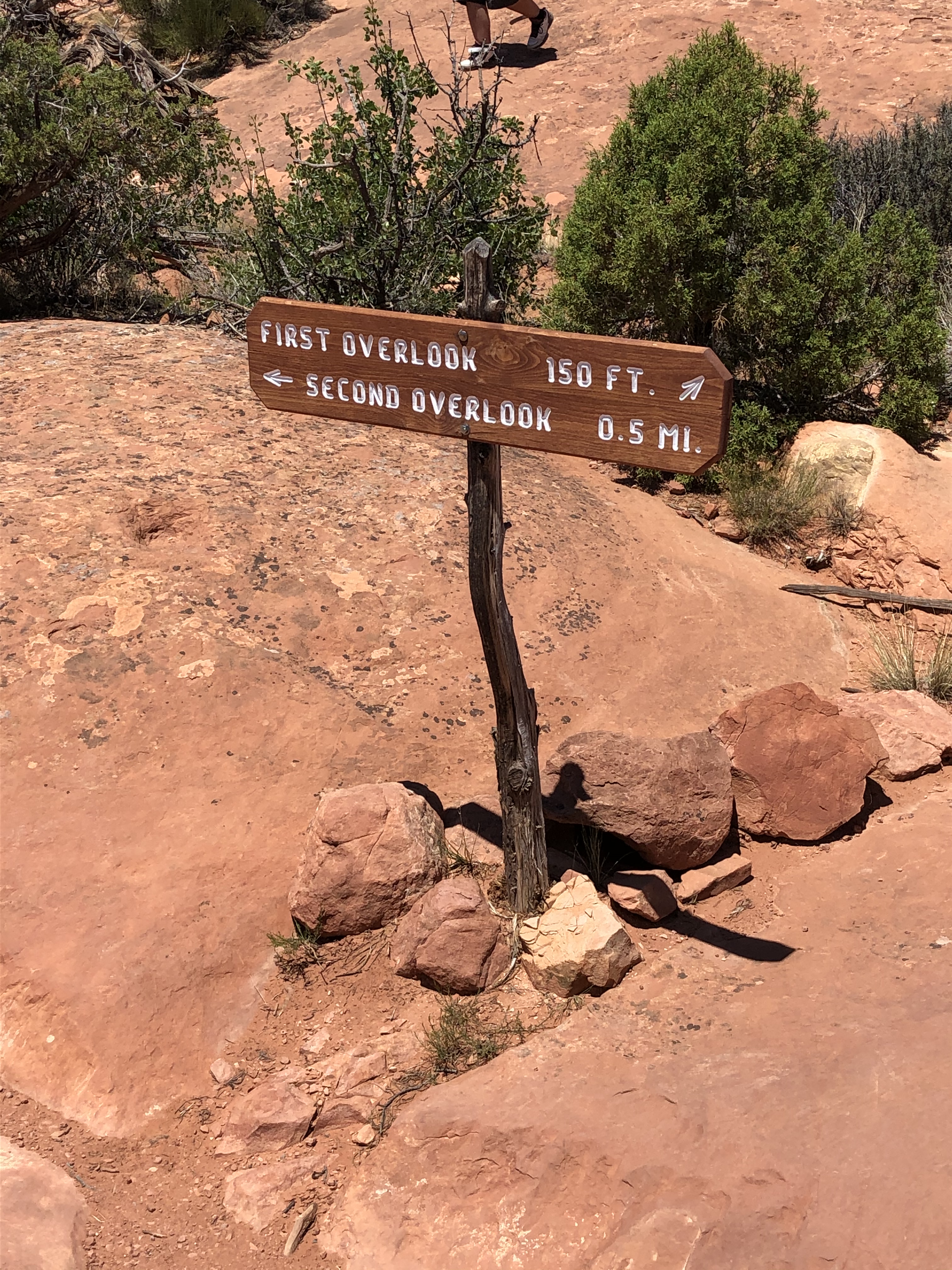
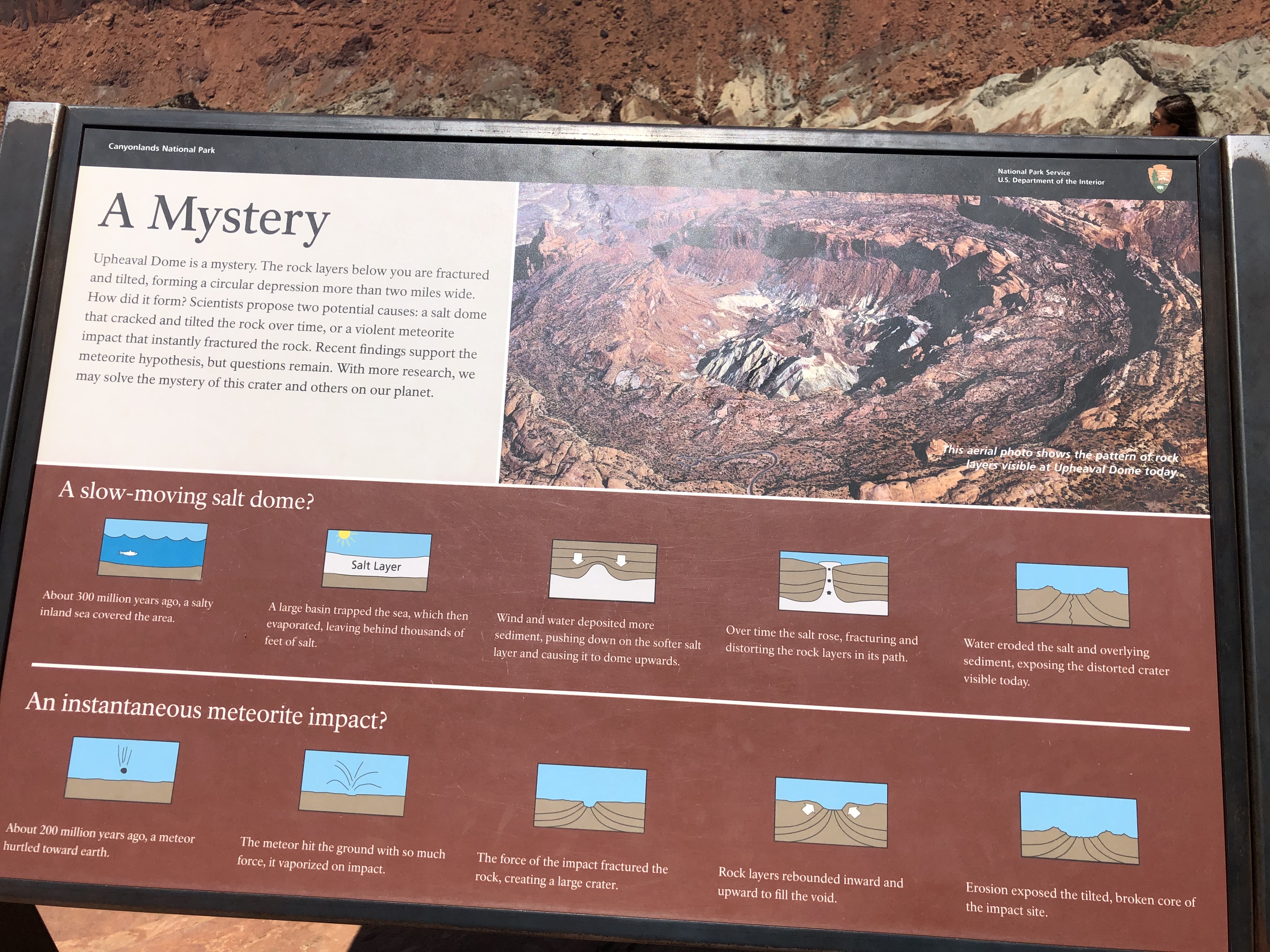
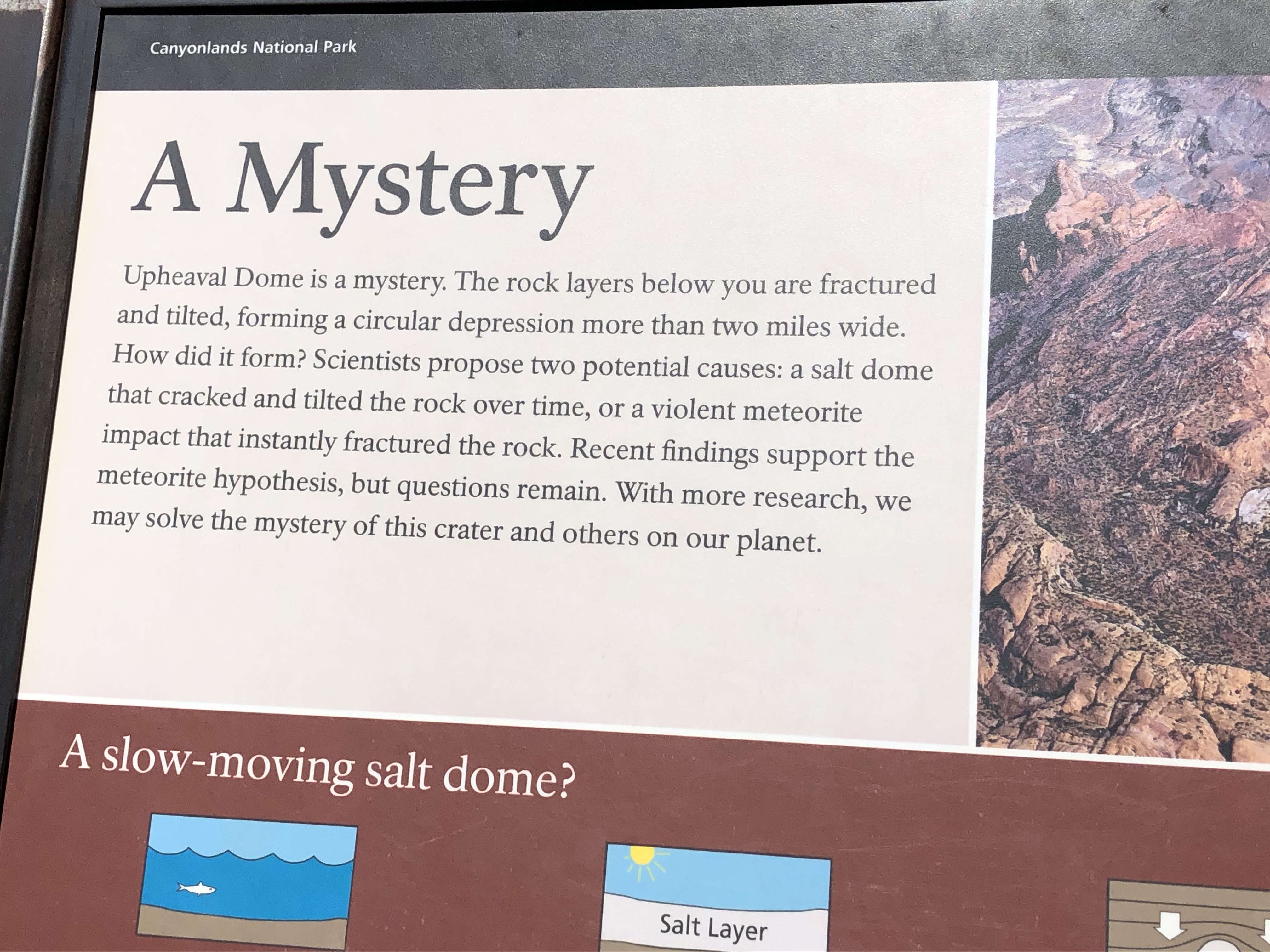
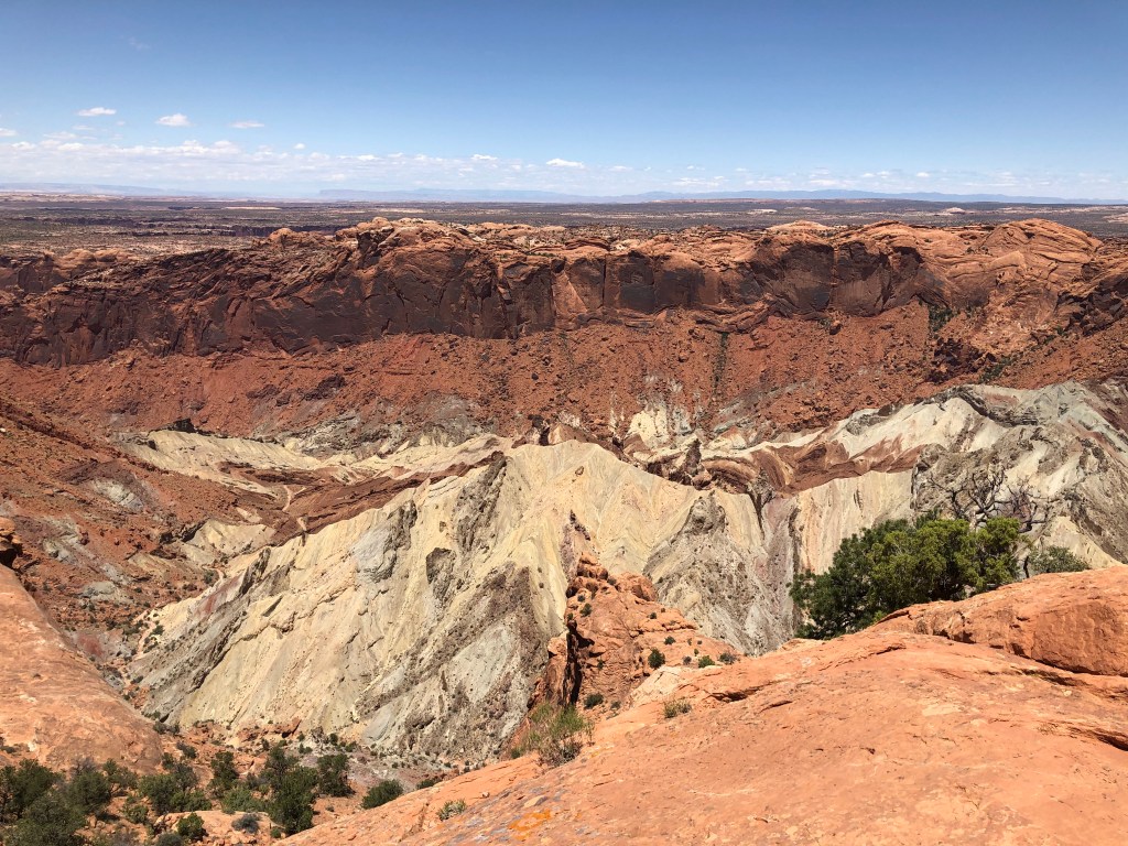
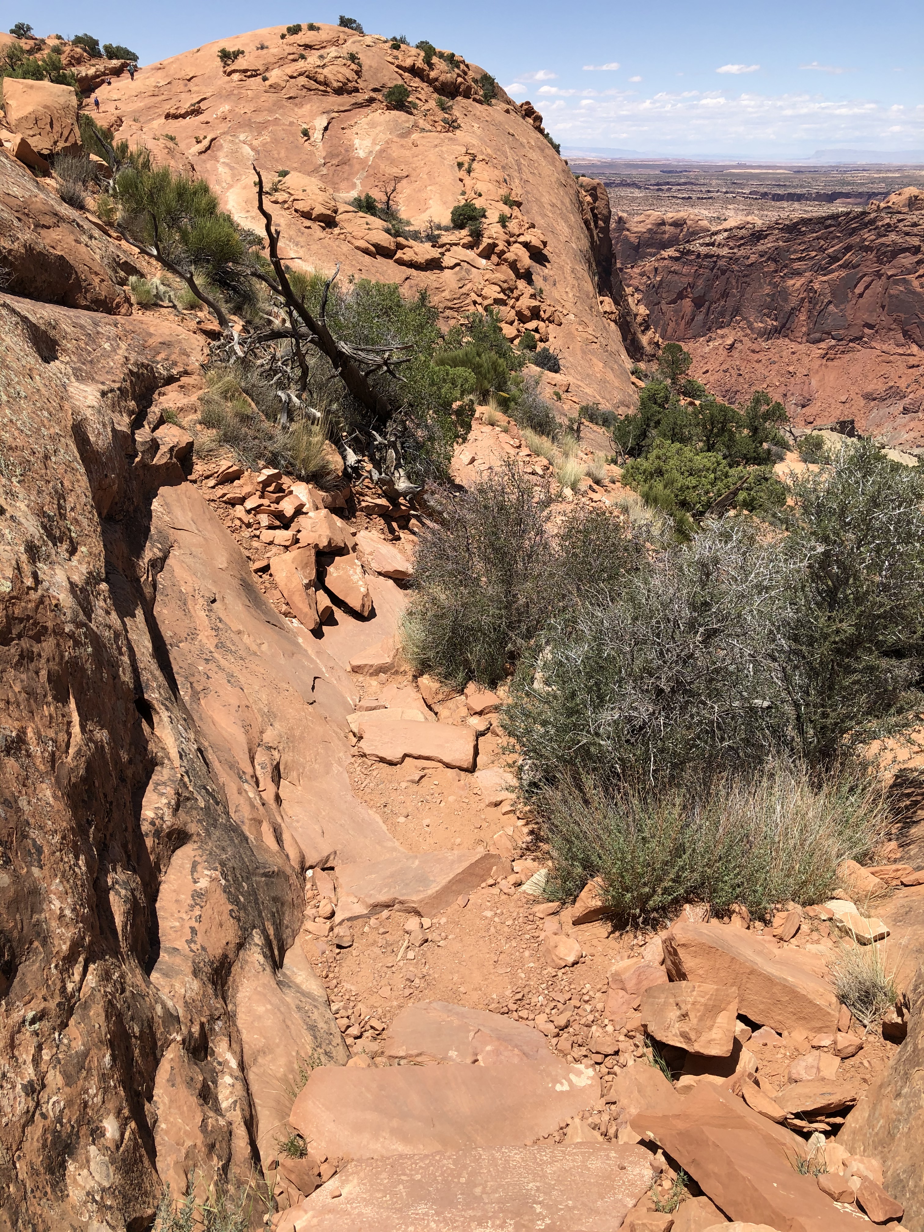
Our last trail of the day was the Upheaval Crater Dome Overlooks. This one was by far the toughest. It has two overlooks, one that has a steep climb to get to, while the other has a long, winding trail that was quite strenuous, especially on the way back. The payoff at the end was worth it as we had full view of the salt dome along with a spot that looked like it might be an impact crater from a meteorite. There is a Loop Trail that goes around the crater that we would like to go back to the park to do one day. I imagine it might be as tough as the last part of the Overlook trail.


We left the park at about 3 PM to make our way north. The main highway led to a state highway. For many miles, at the start, we were following along a giant plateau. That plateau led to some smaller ones, which led to some mountains. We passed through yet another canyon, Price Canyon, then came out surrounded by more mountains while then going through some mountain passes.
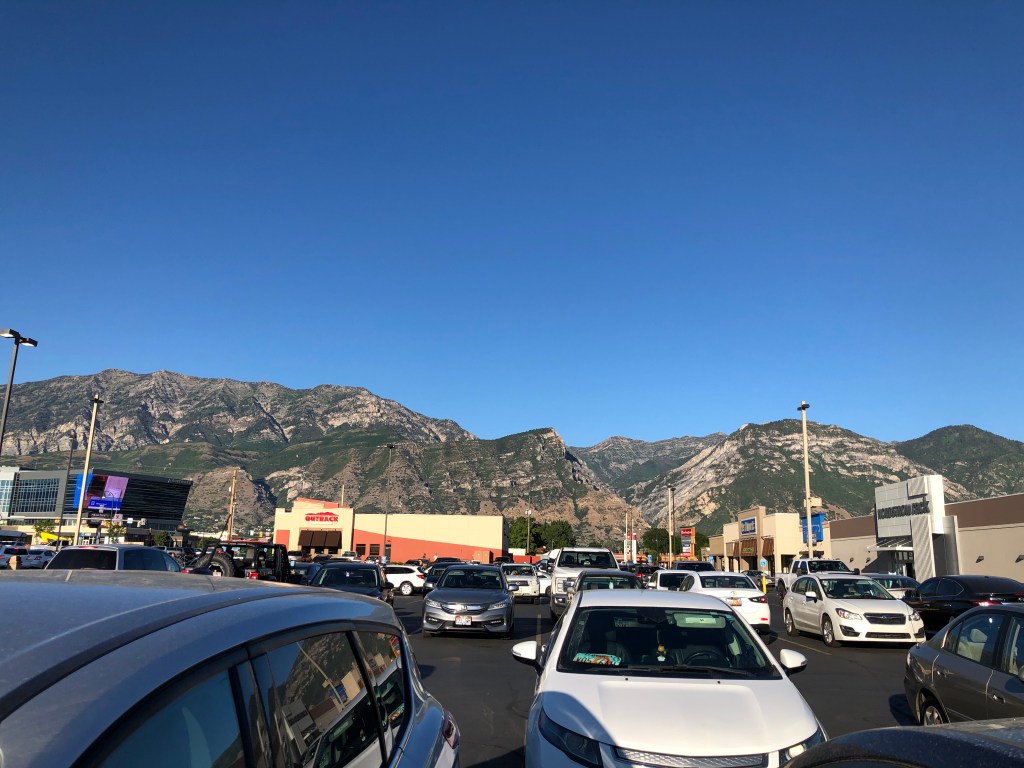
Finally, we were into the huge valley where most of Utah’s population lives. We stopped for food at an In & Out Burger in Orem and later found a hotel north of Salt Lake City.

Come back later for the next leg of our trip: Idaho!
