We woke up from what was an erratic sleeping night not exactly refreshed but ready to go for the day. Our upstairs neighbor walked around constantly. Sometime at around 4 AM some other jerk decided to start playing bass heavy music that thumped every few seconds. And Andrea mentioned someone else that woke her up during the night.
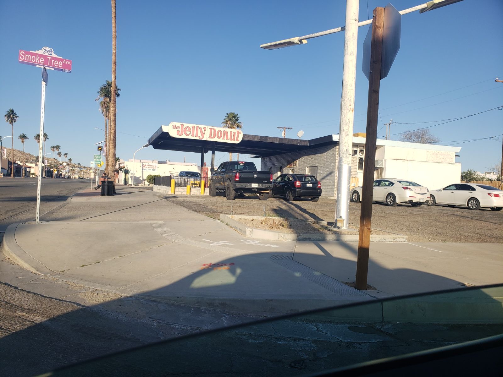
After a shower we packed up and went to get some donuts. The closest place was The Jelly Donut. It was in a building that used to be a gas station a long time ago. Not only did they serve donuts, but they also had a menu for pho. All of the choices had great pun names like PHO SHO, PHO LOVE, and PHO REAL. I got two glazed donuts and a chocolate covered cream-filled one while Andrea choose the chocolate covered cream-filled one as well. We ate in the parking lot.

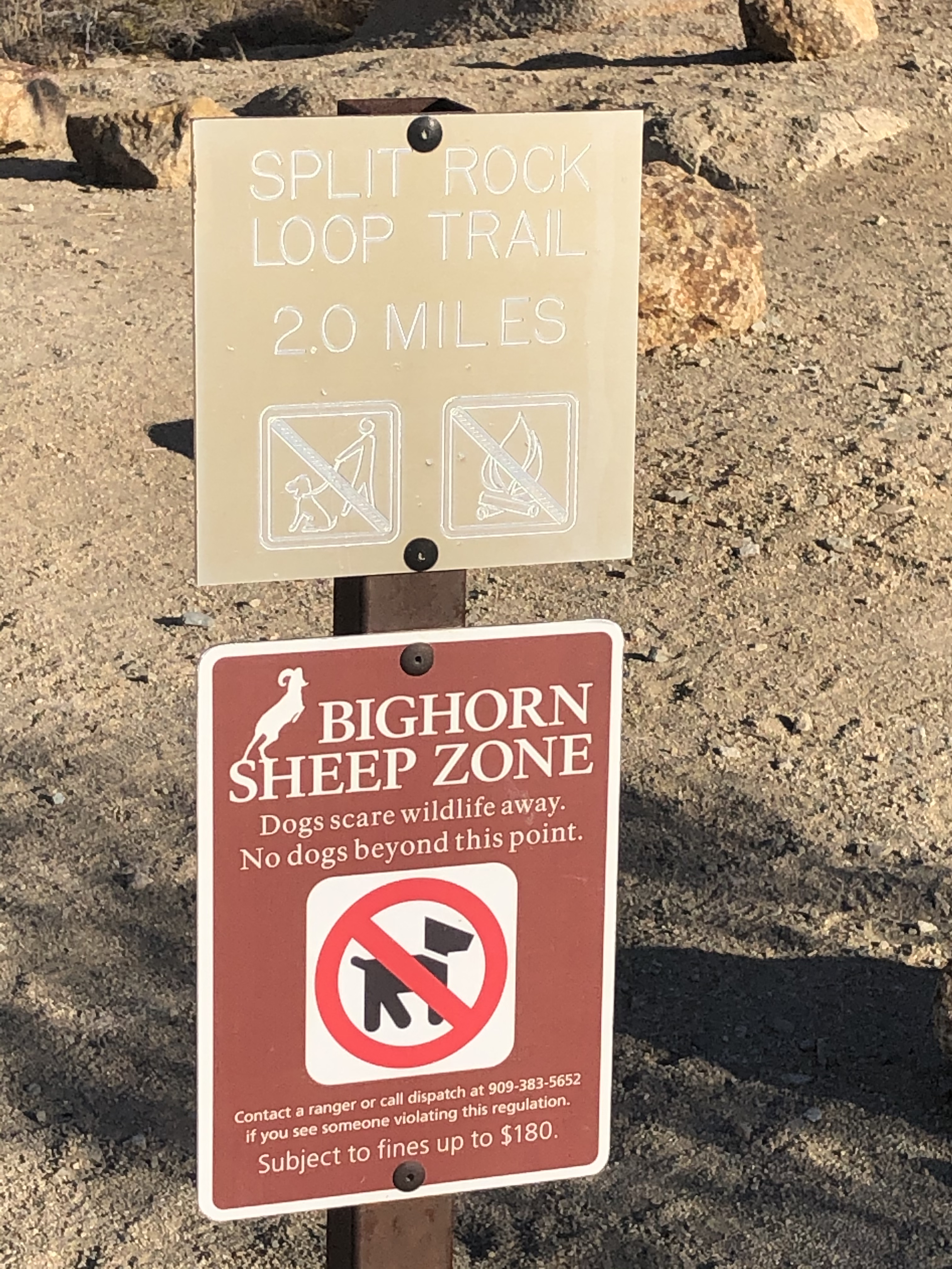
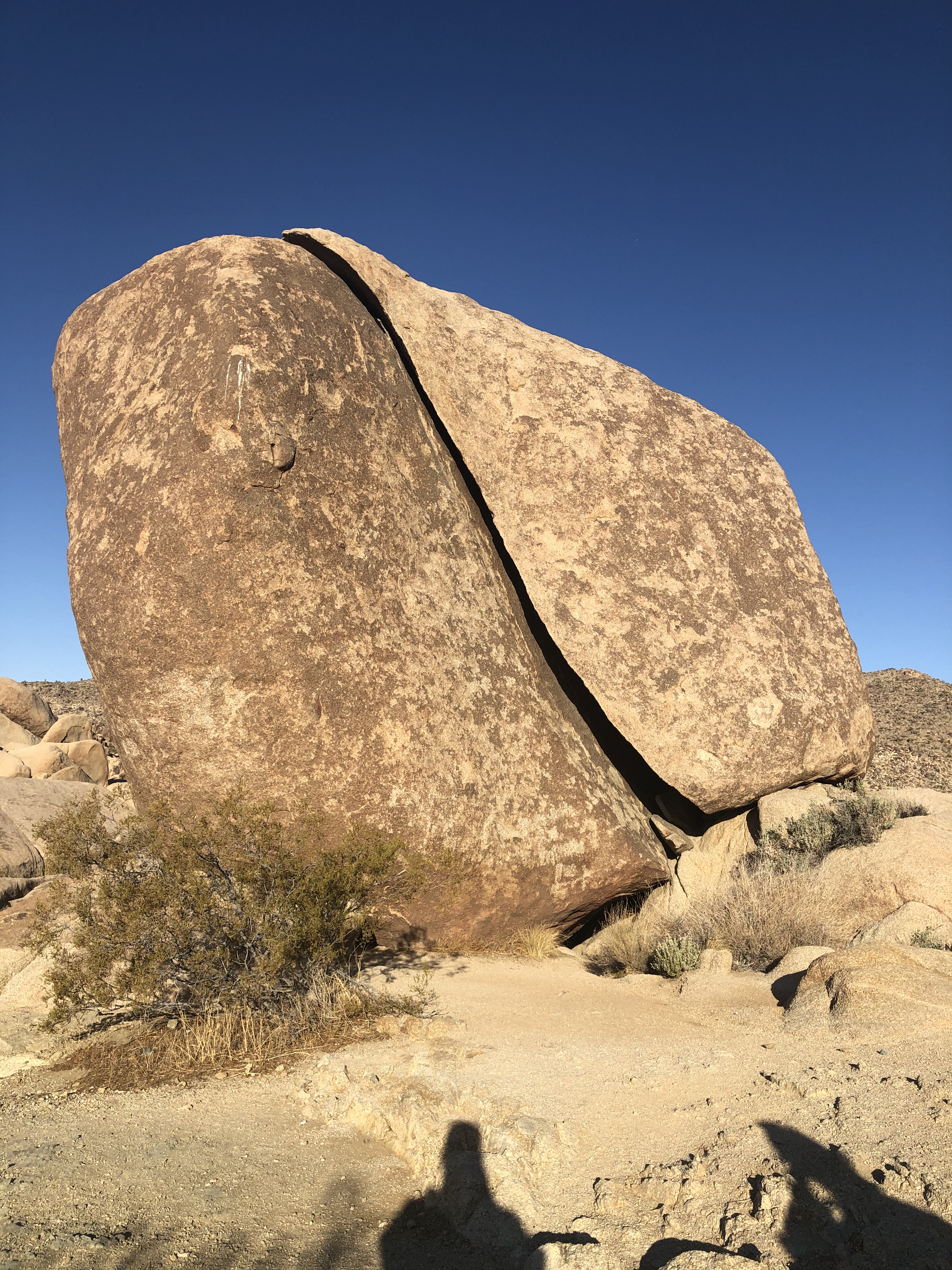
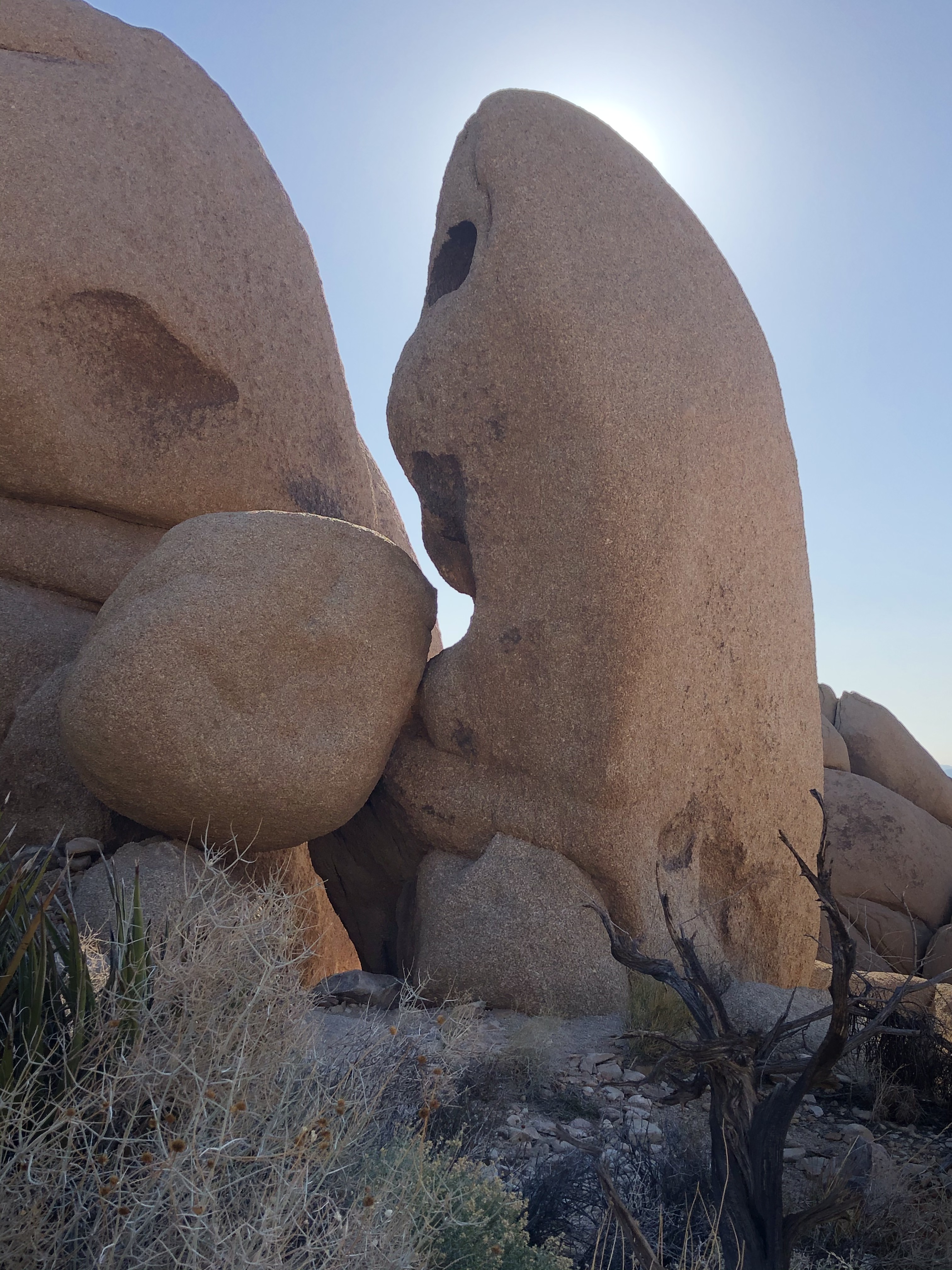
Then it was off to the Joshua Tree National Park again. Our first stop was a suggestion from one of the park rangers we talked to at the visitor center the day before-Split Rock Trail. Whoever named the trail wasn’t joking. There is a huge rock at the beginning of the trail that has a giant crack in it.
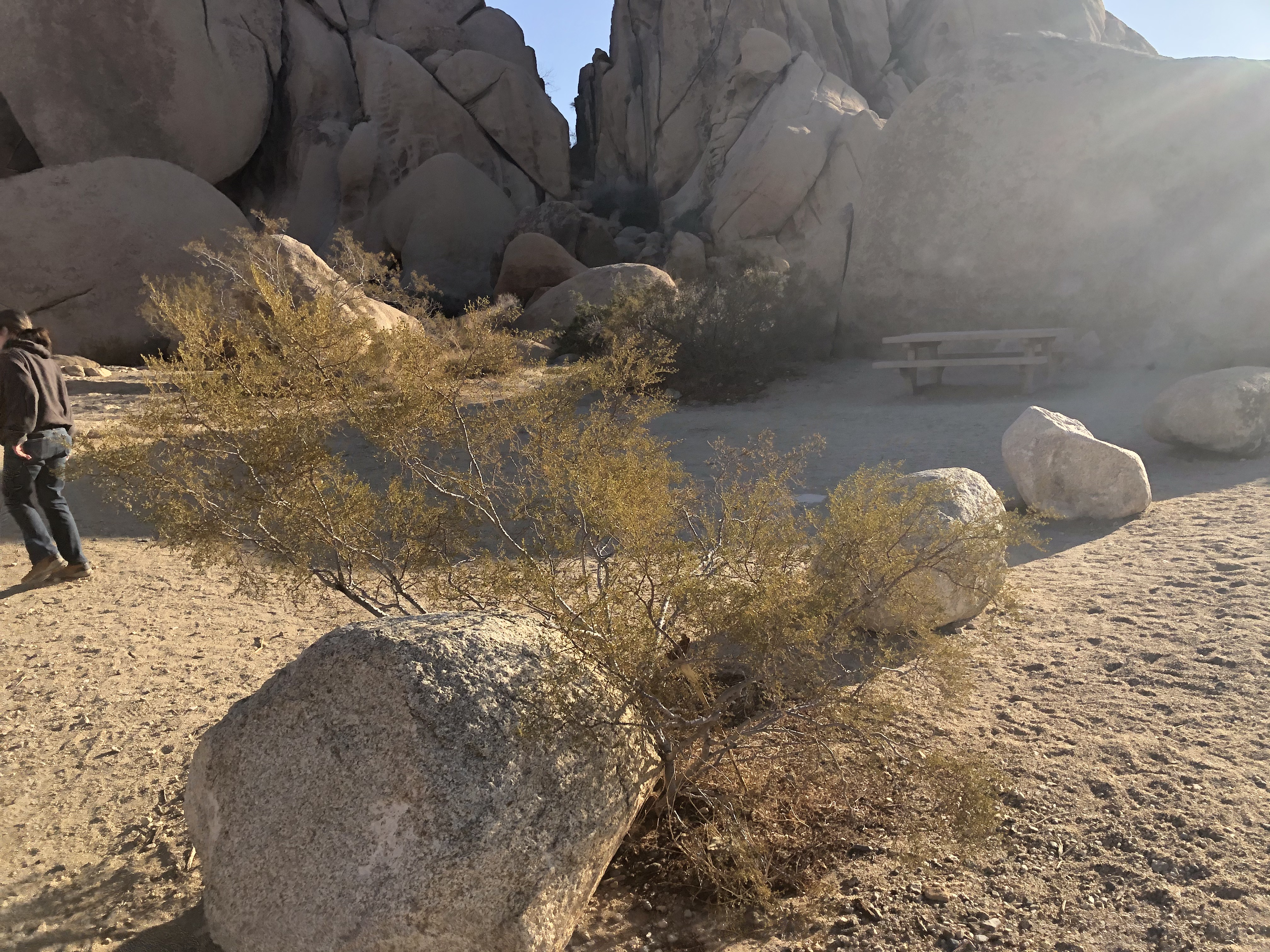
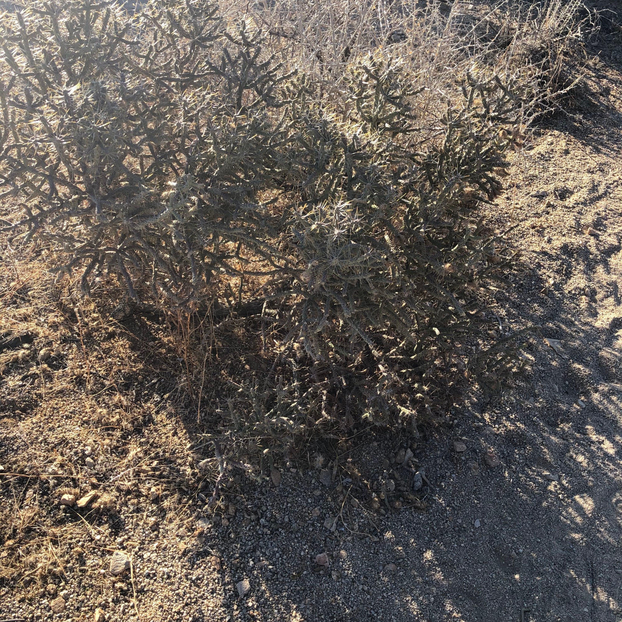
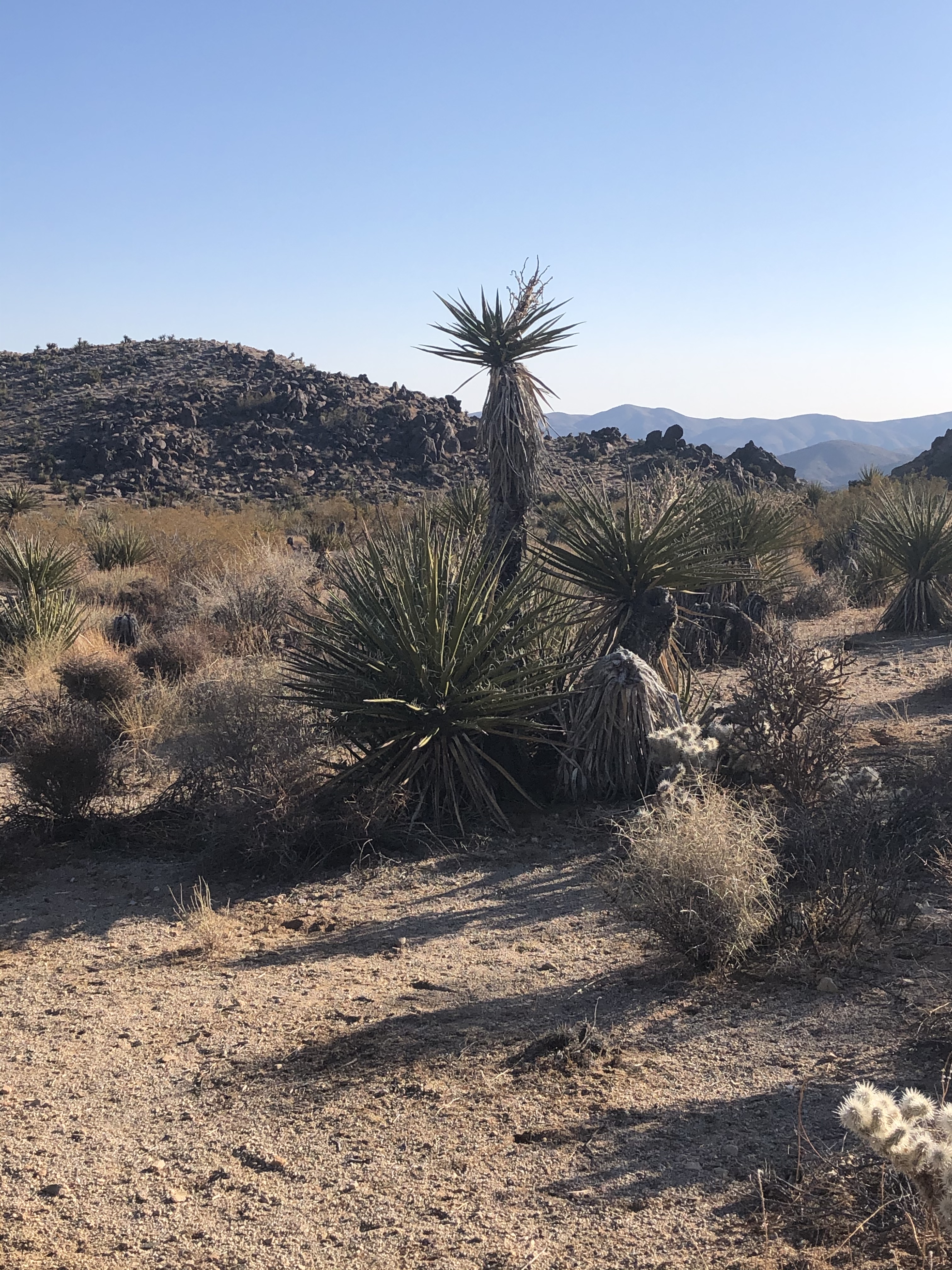
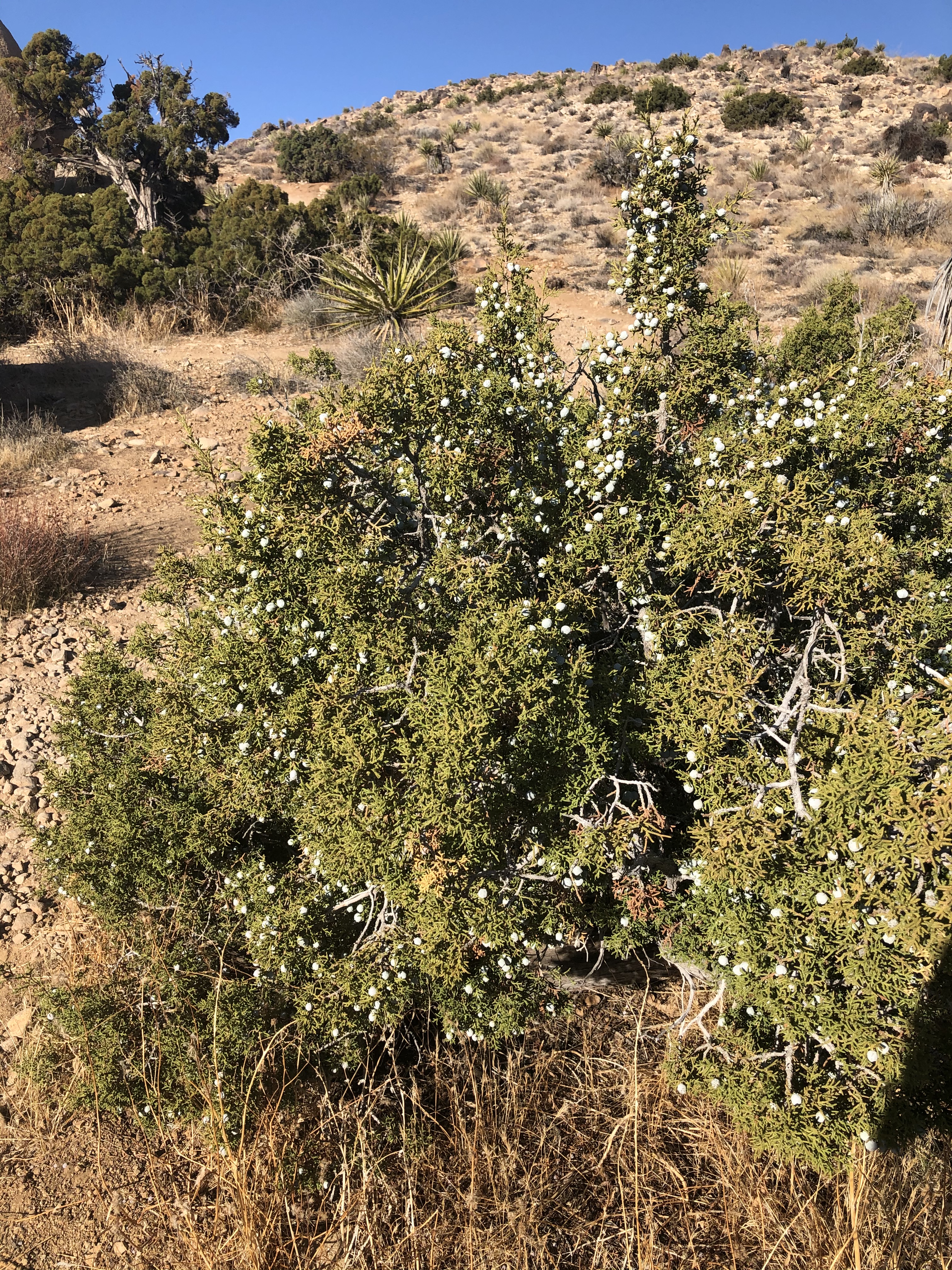
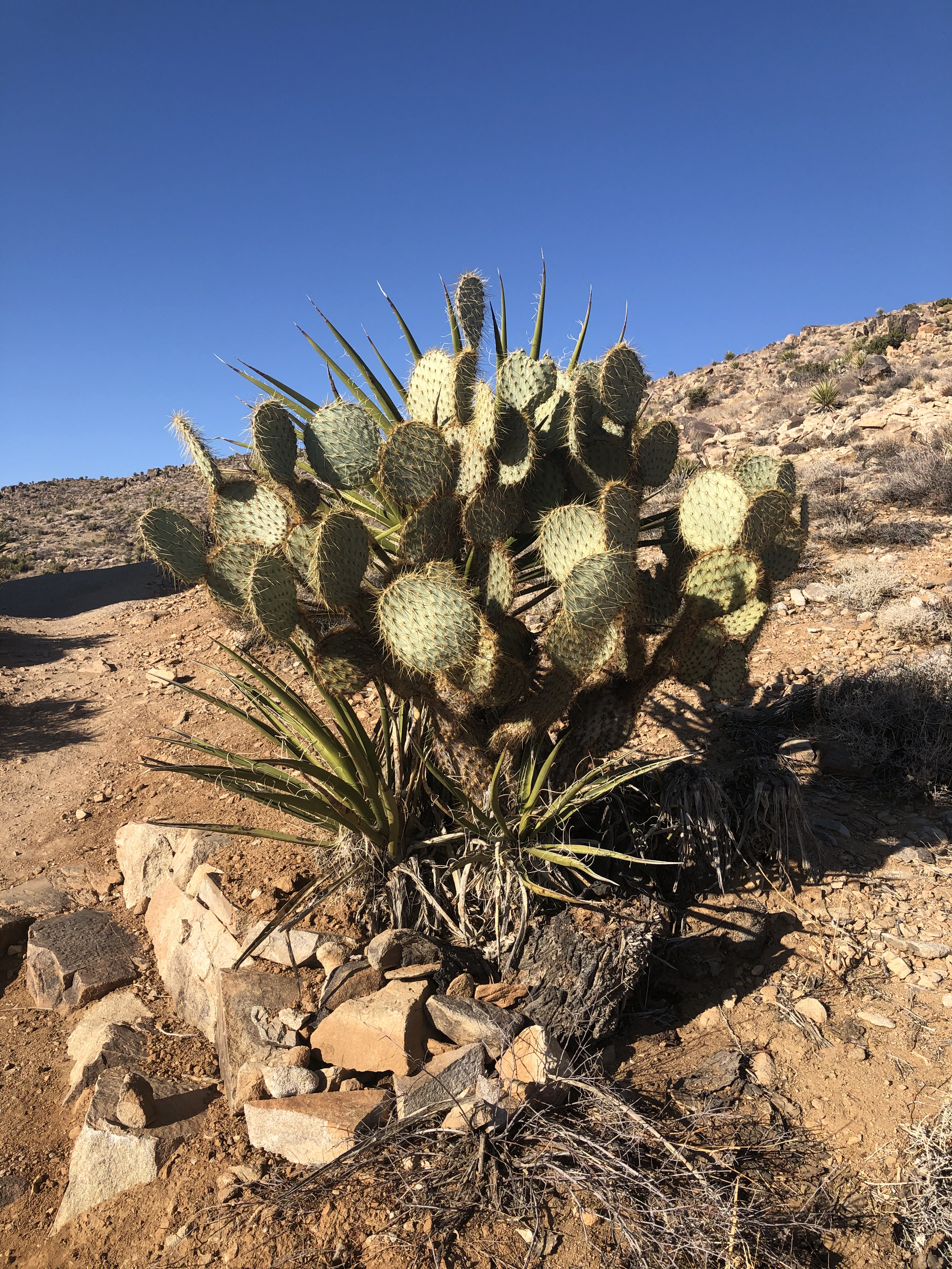
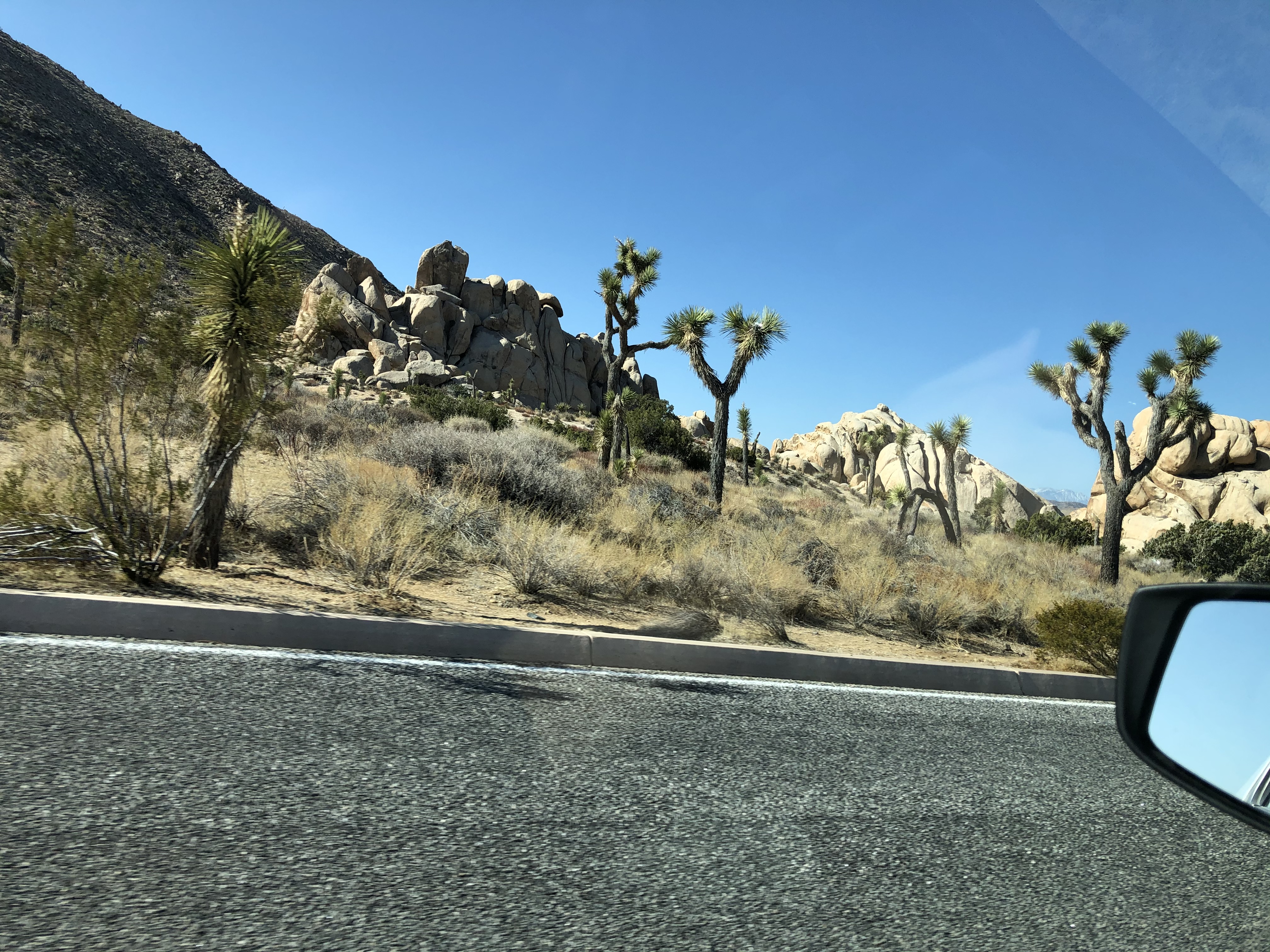
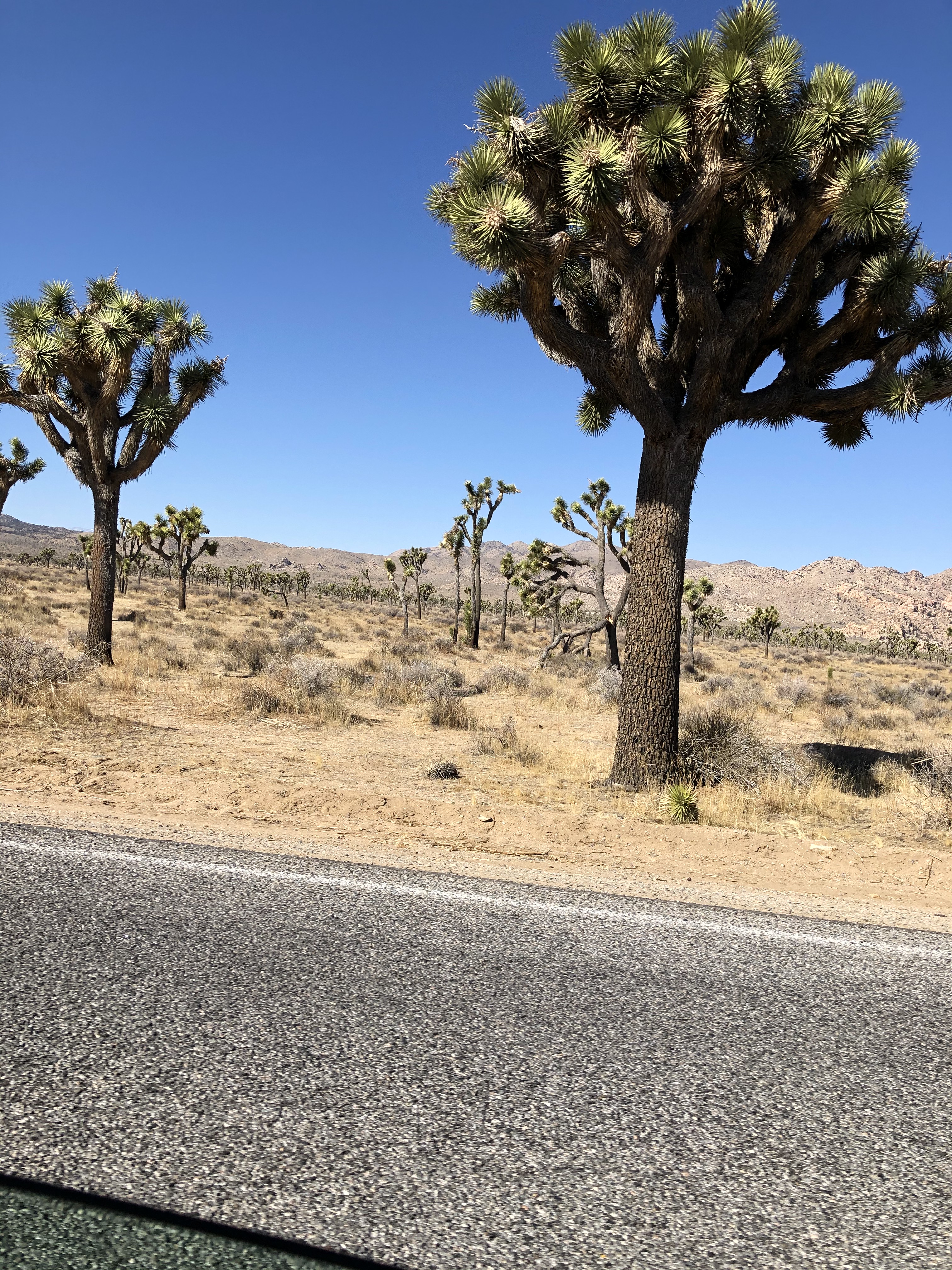
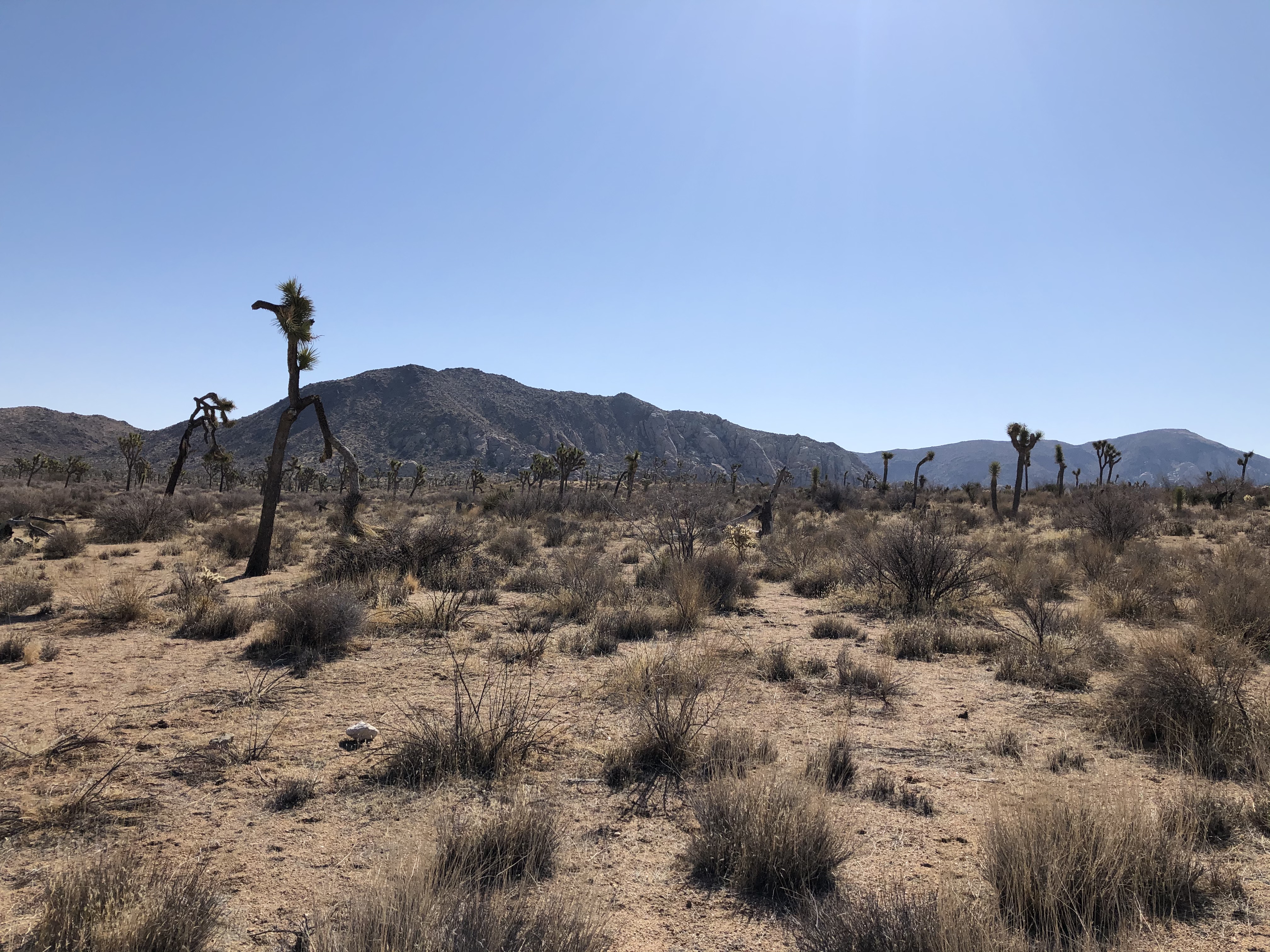
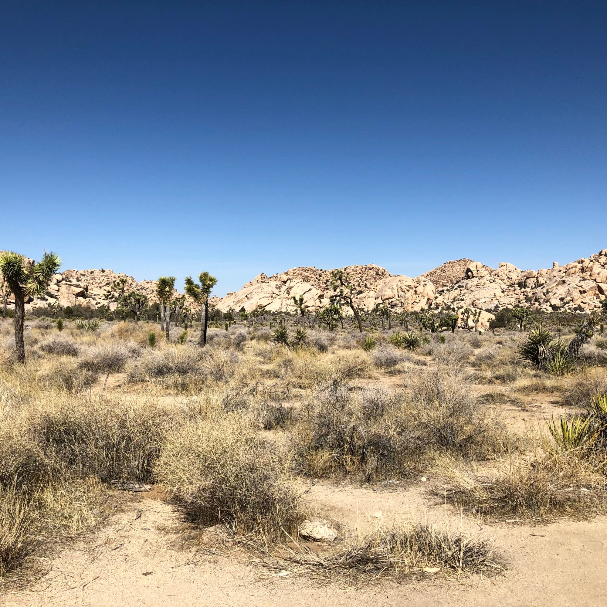
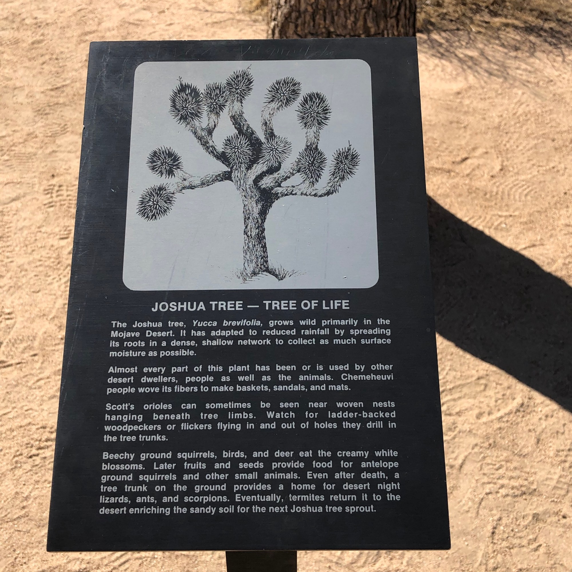
The trail itself was quite the nice jaunt. There are many different types of vegetation from different cacti to juniper bushes, other kinds of bushes, and Joshua trees.
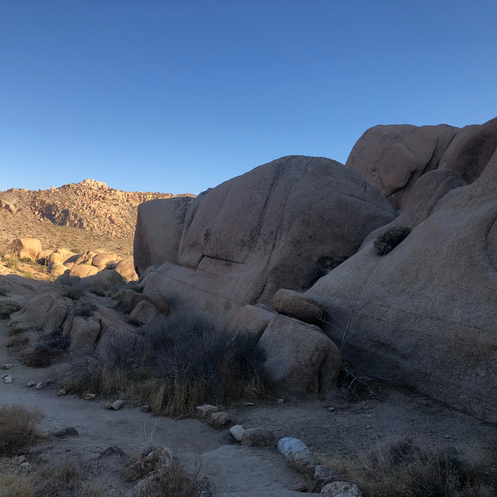
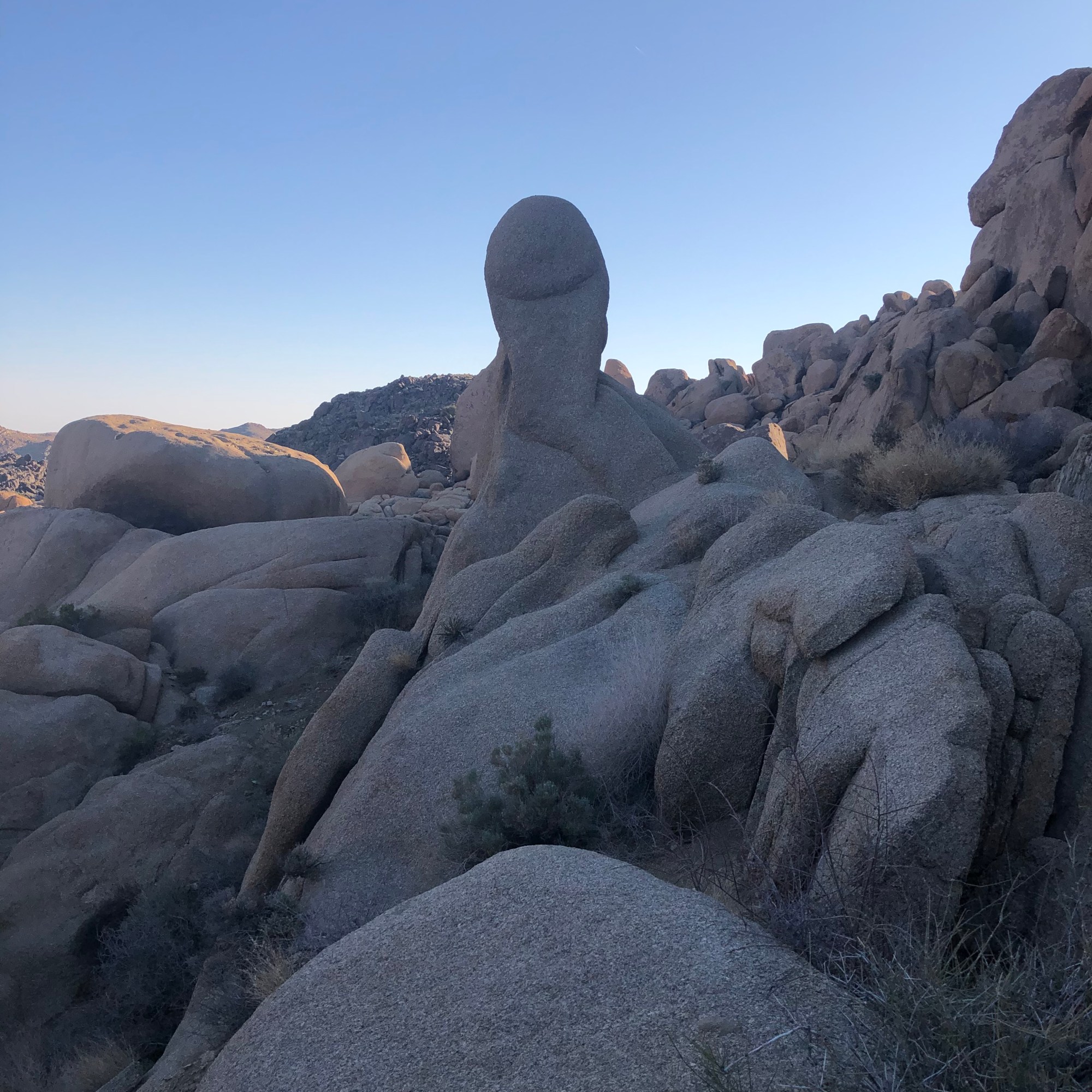

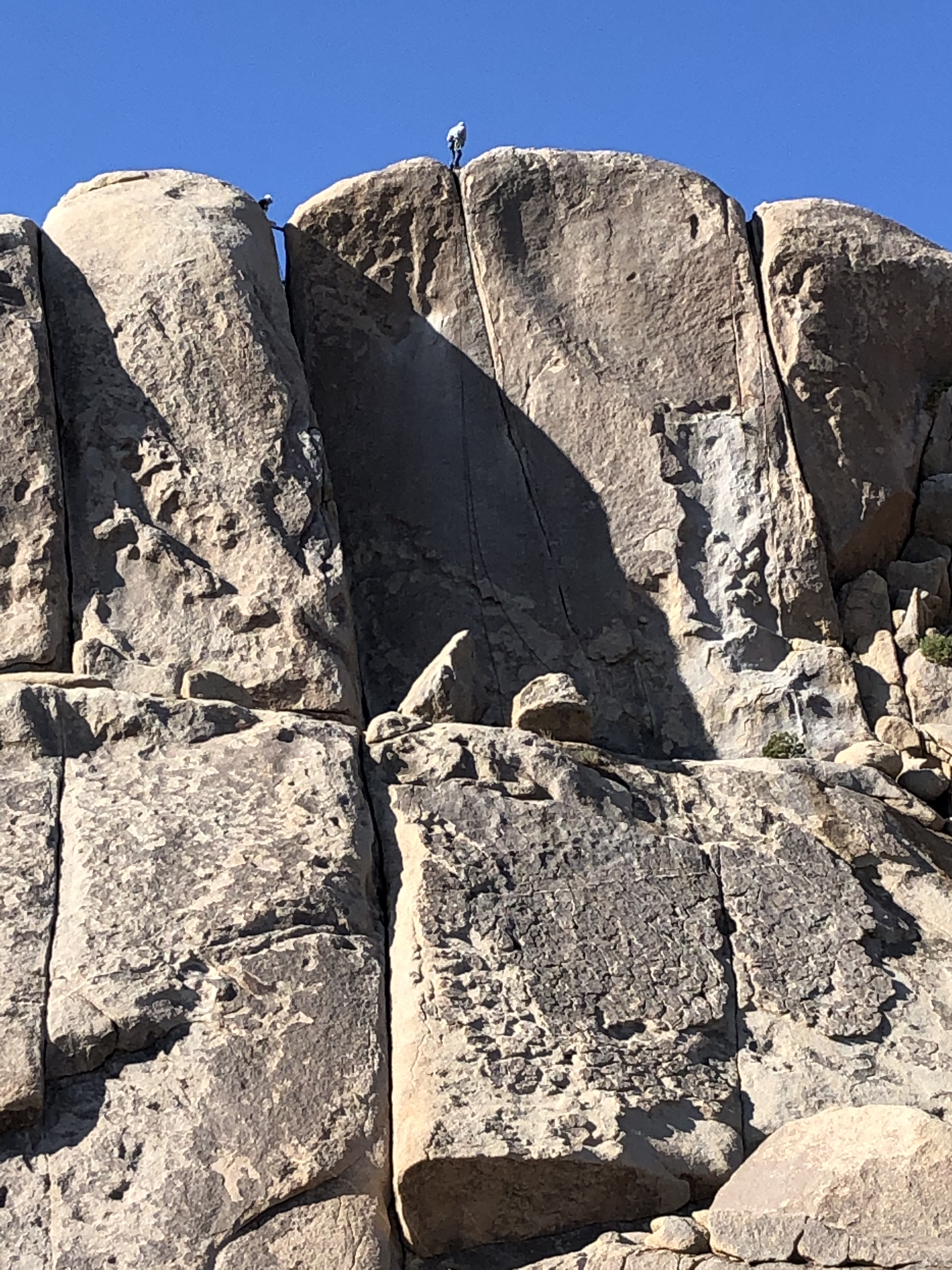
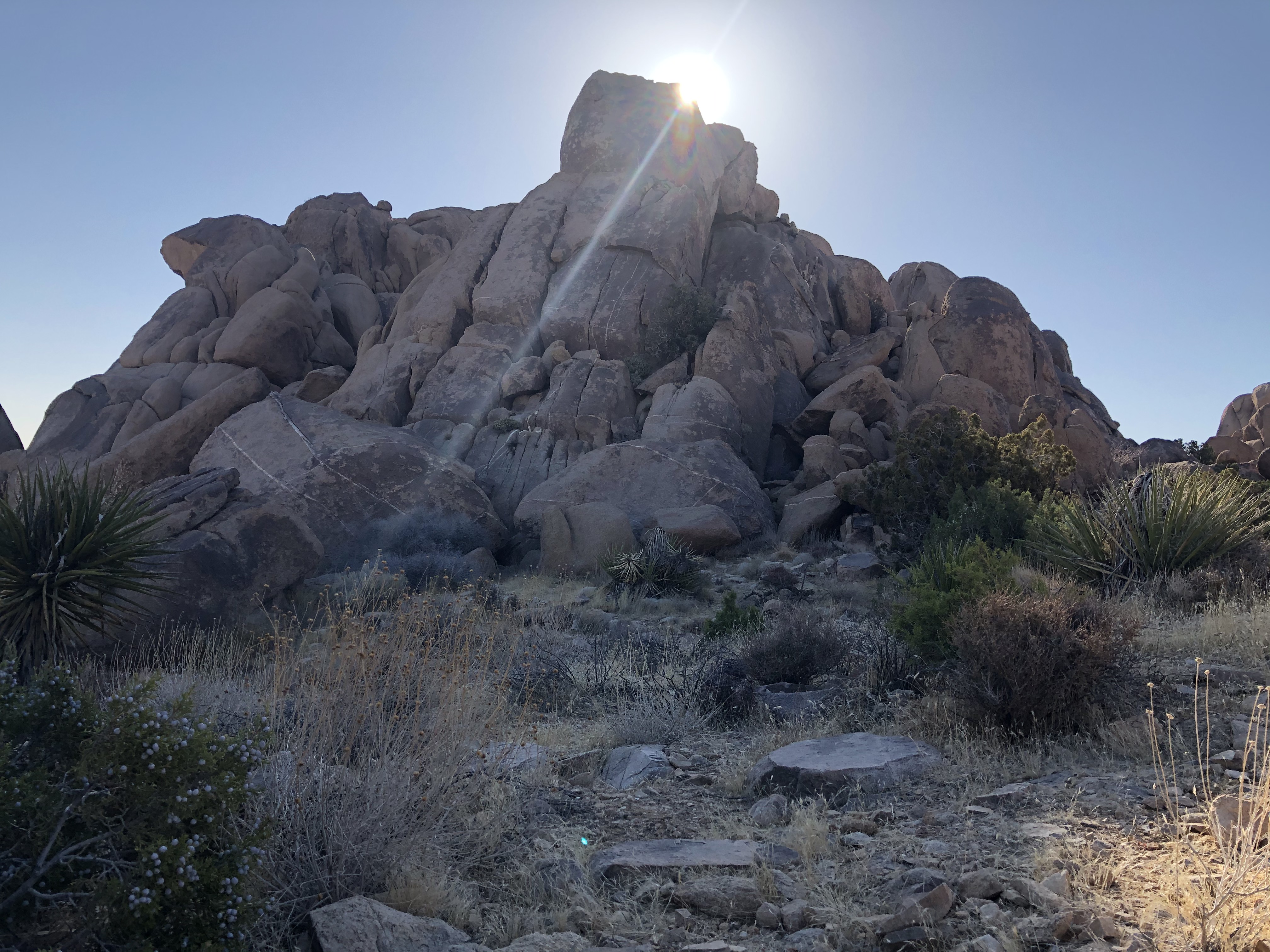
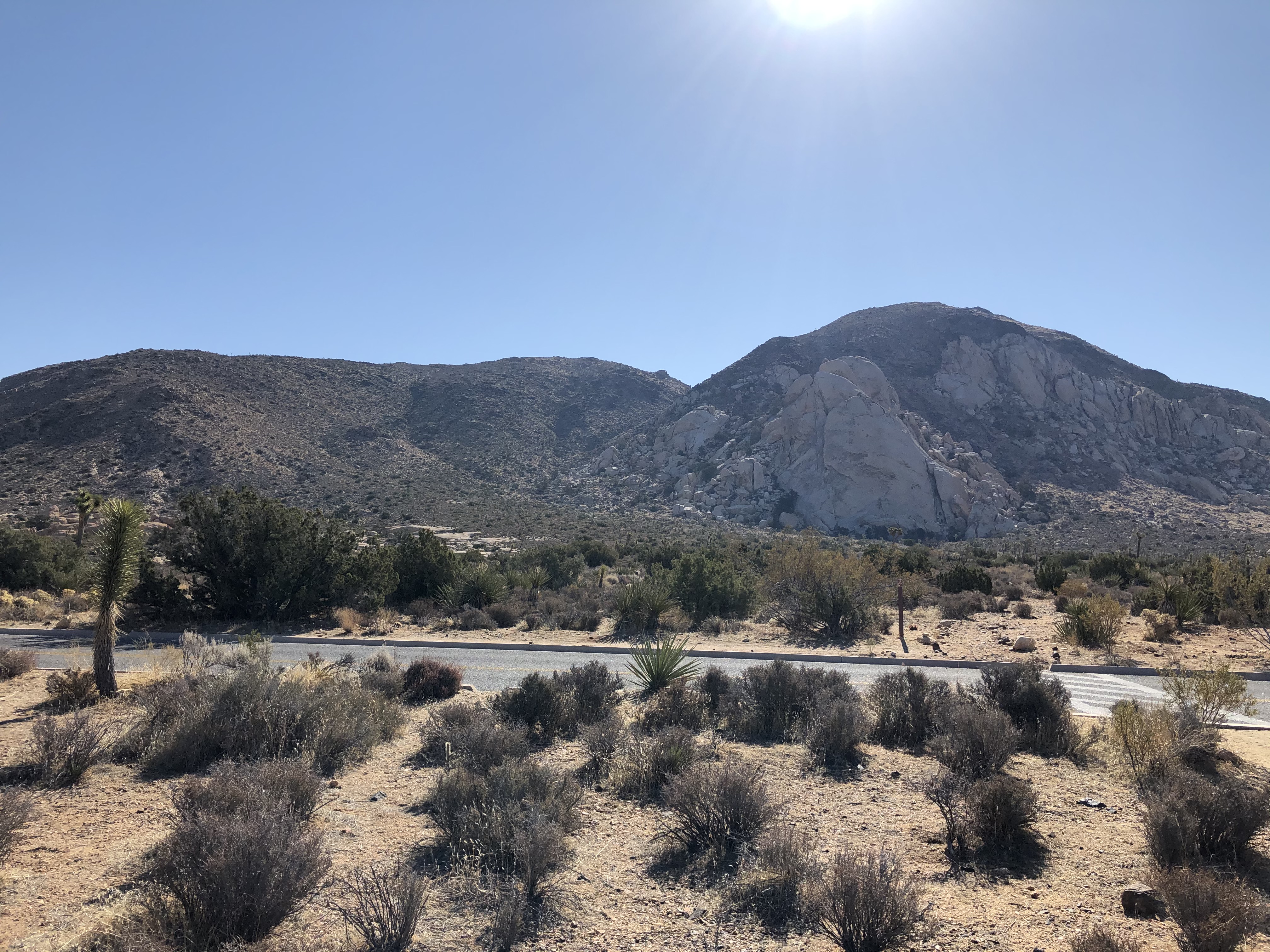
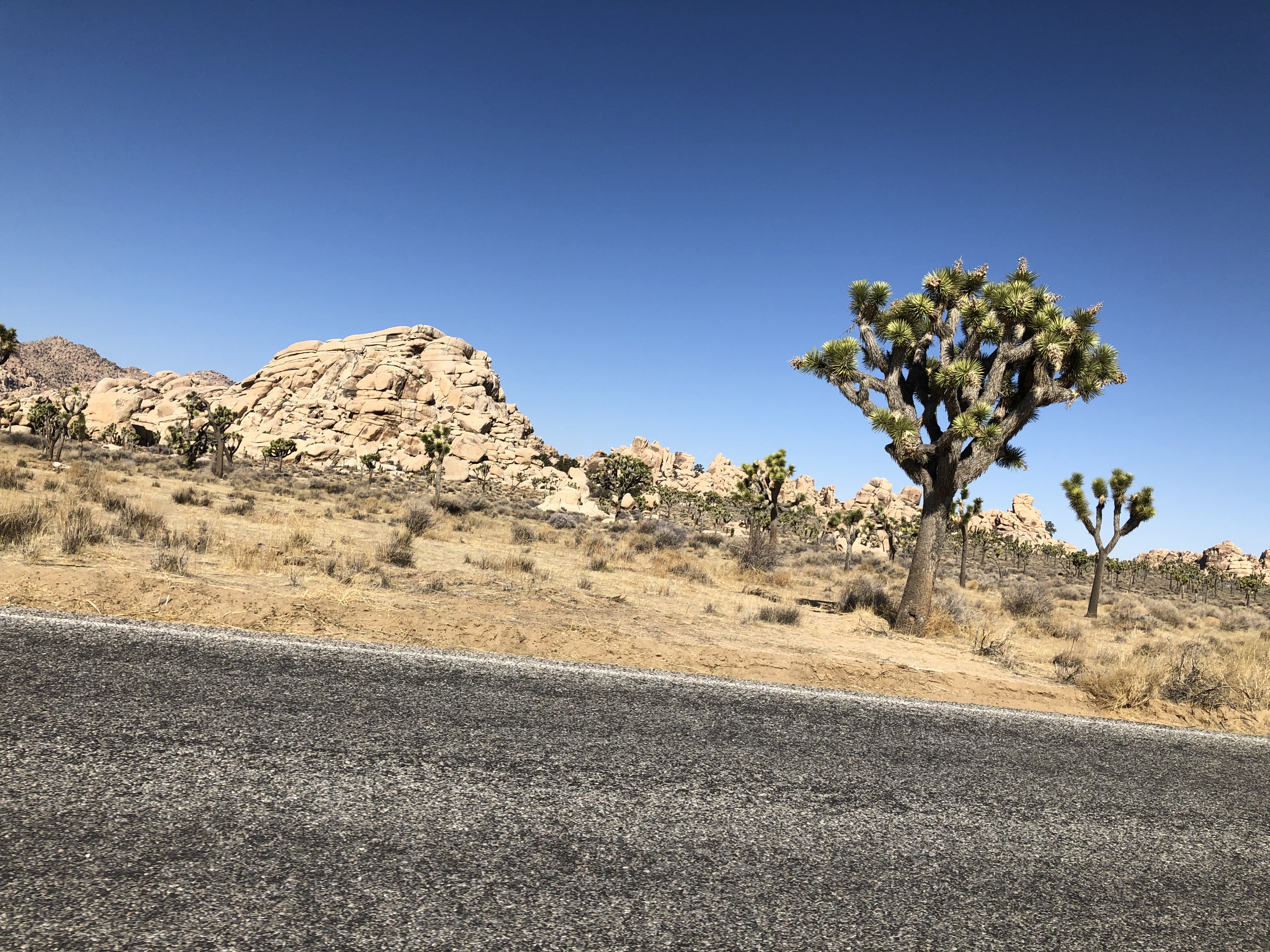
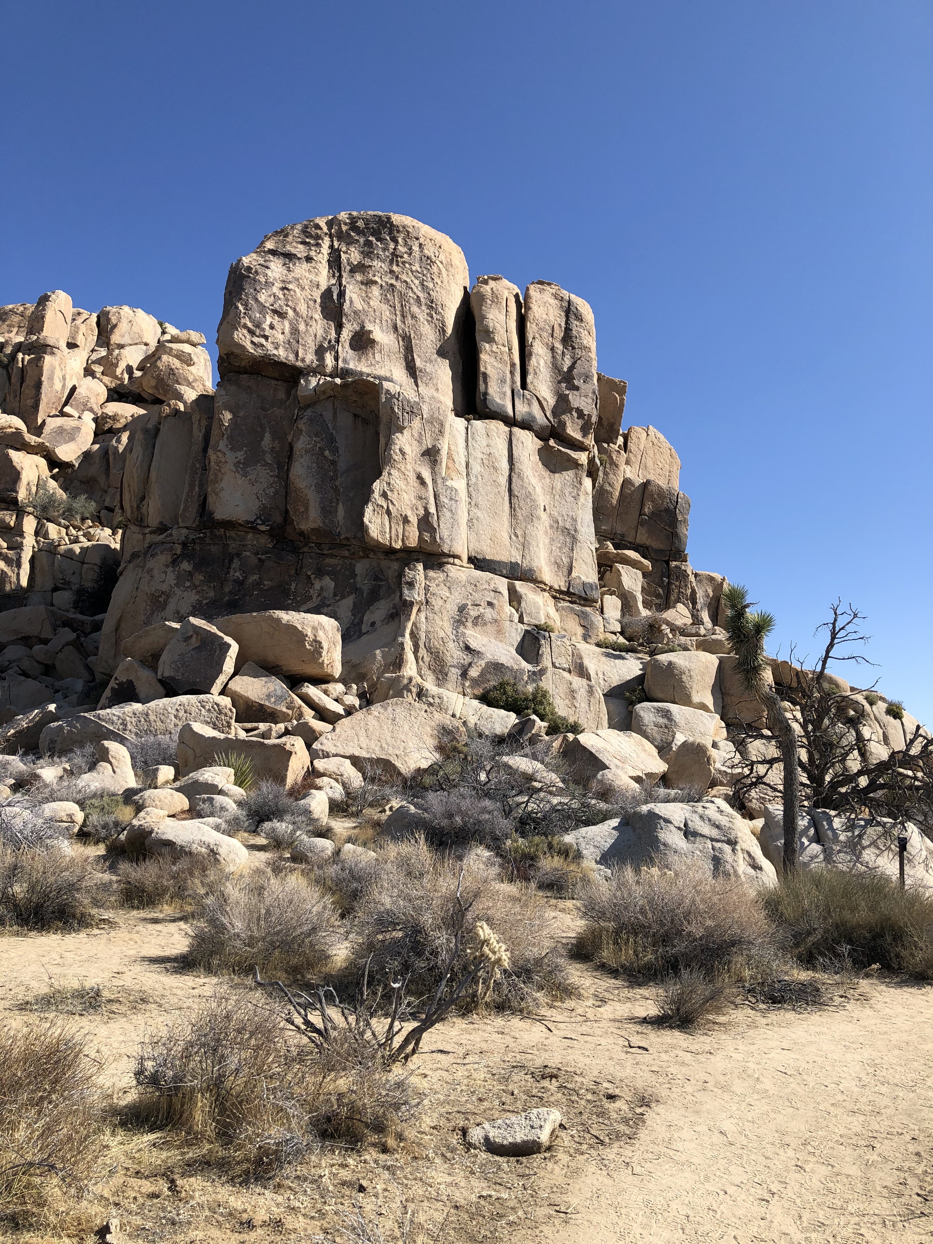
There are also many different rock formations strewn about the trail. Some of the rocks are so large that climbing trails have been designated for those that like to rock climb. We saw a few of those along the trail on top of one of the larger rocks.
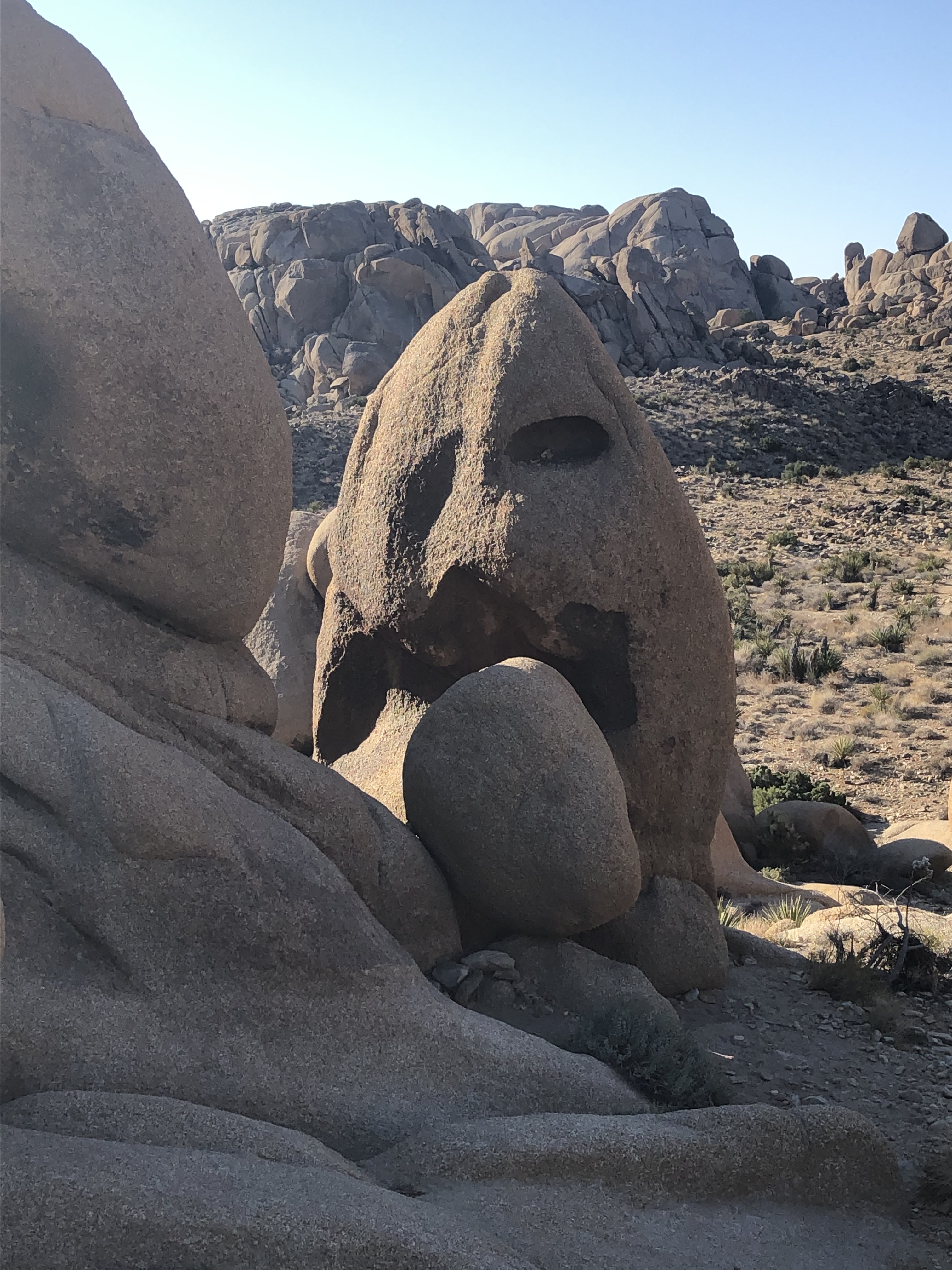
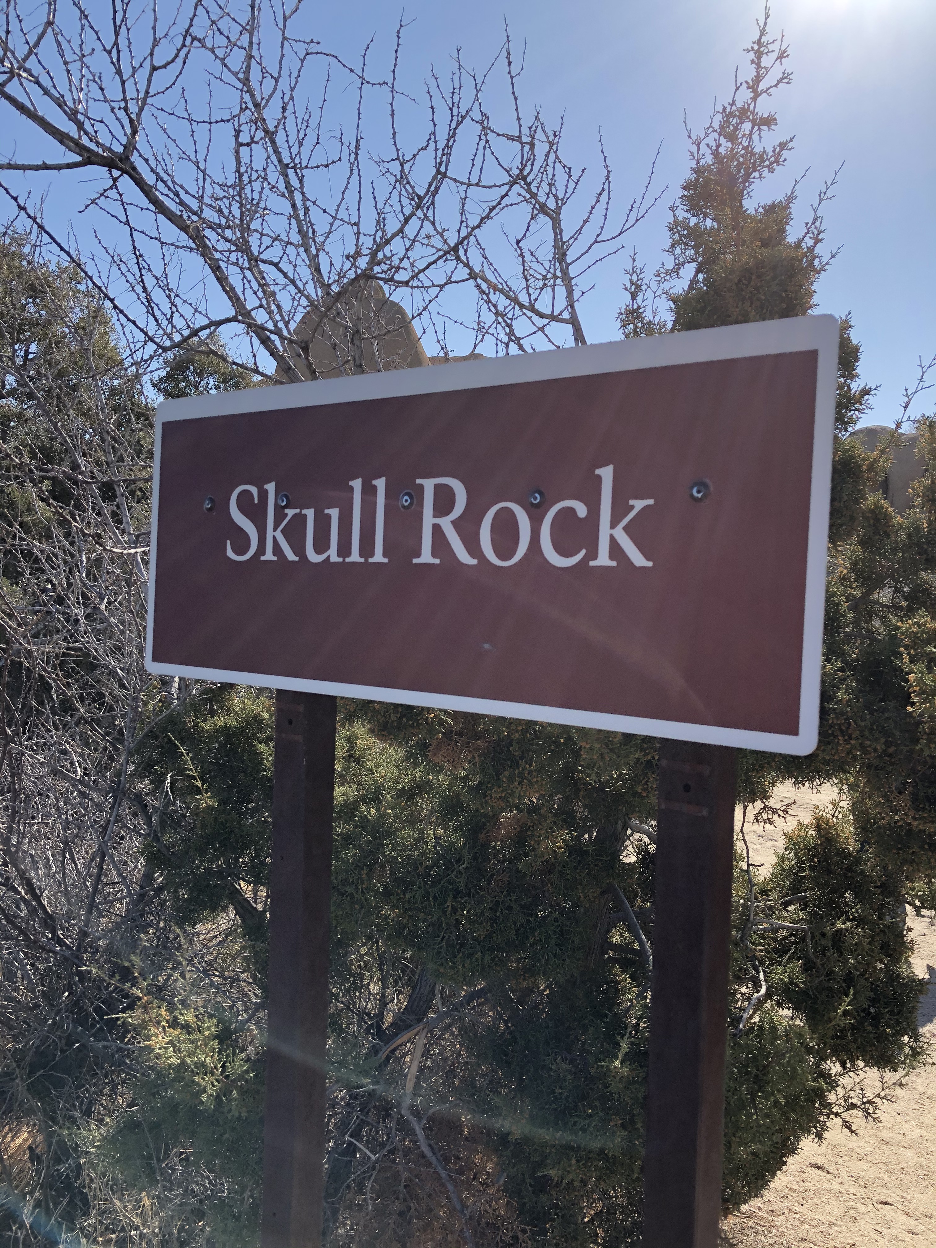
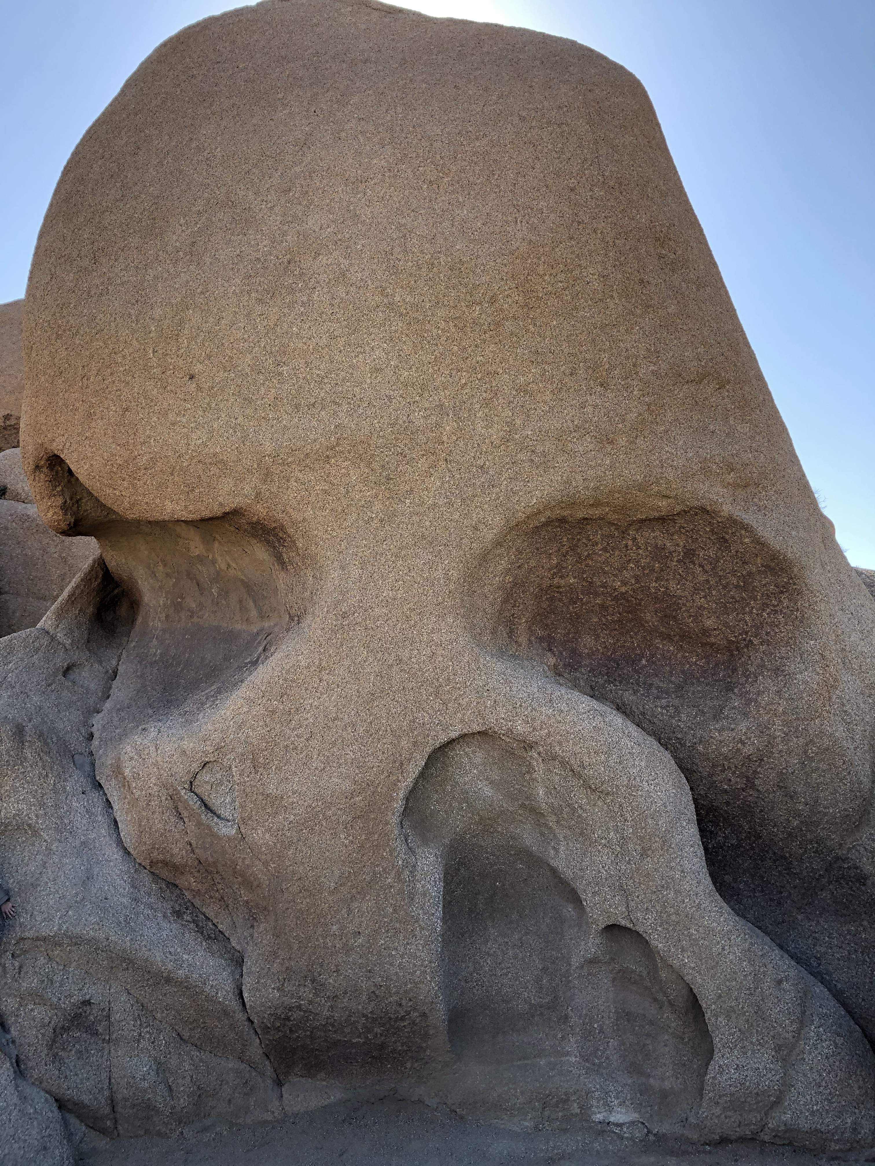
Next, we took the short drive to Skull Rock. The rock is right next to the main road and doesn’t really have a trail, you can just walk right up to it from the road.
After another short drive…

…we walked around the Hall of Horrors. We were not really sure why the trail is called that as it wasn’t exactly scary. But there were some nice looking specimens of Joshua trees.

From there it was a decent drive to get to the Barker Dam area.

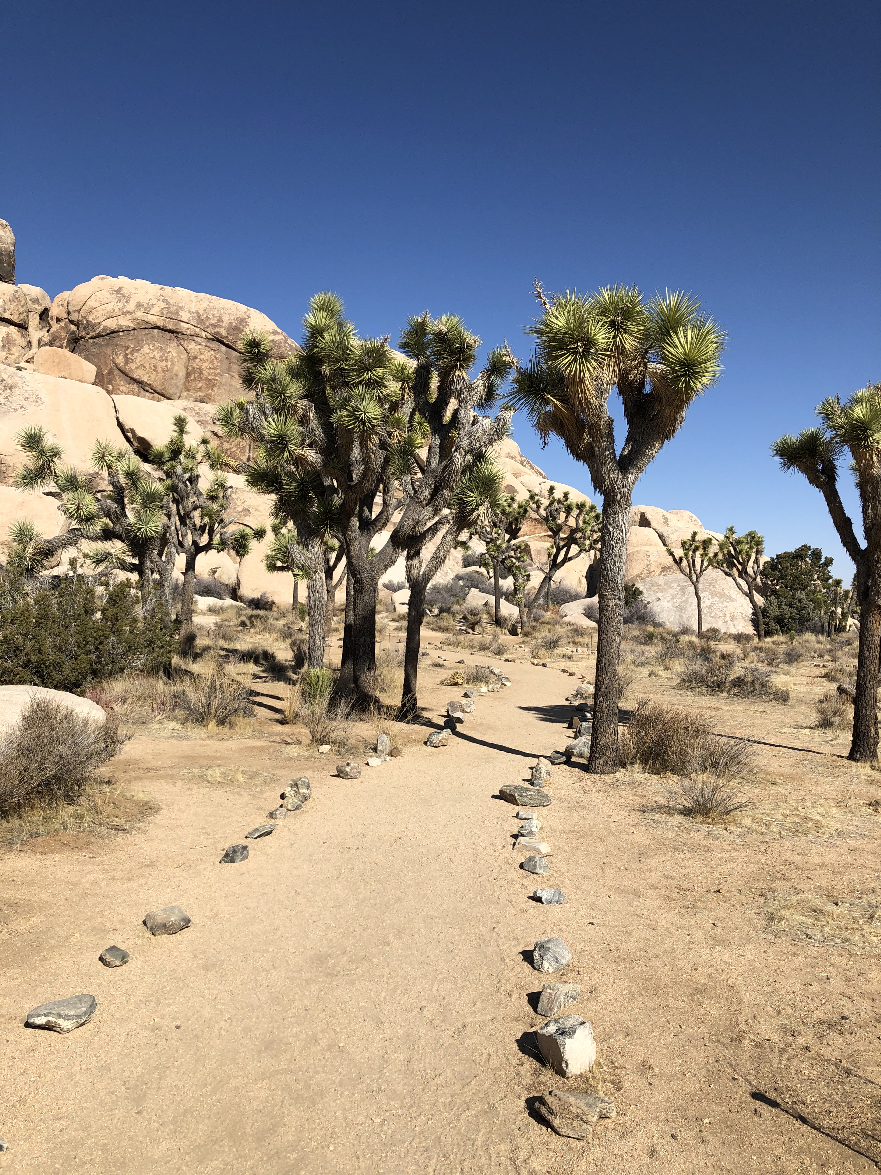
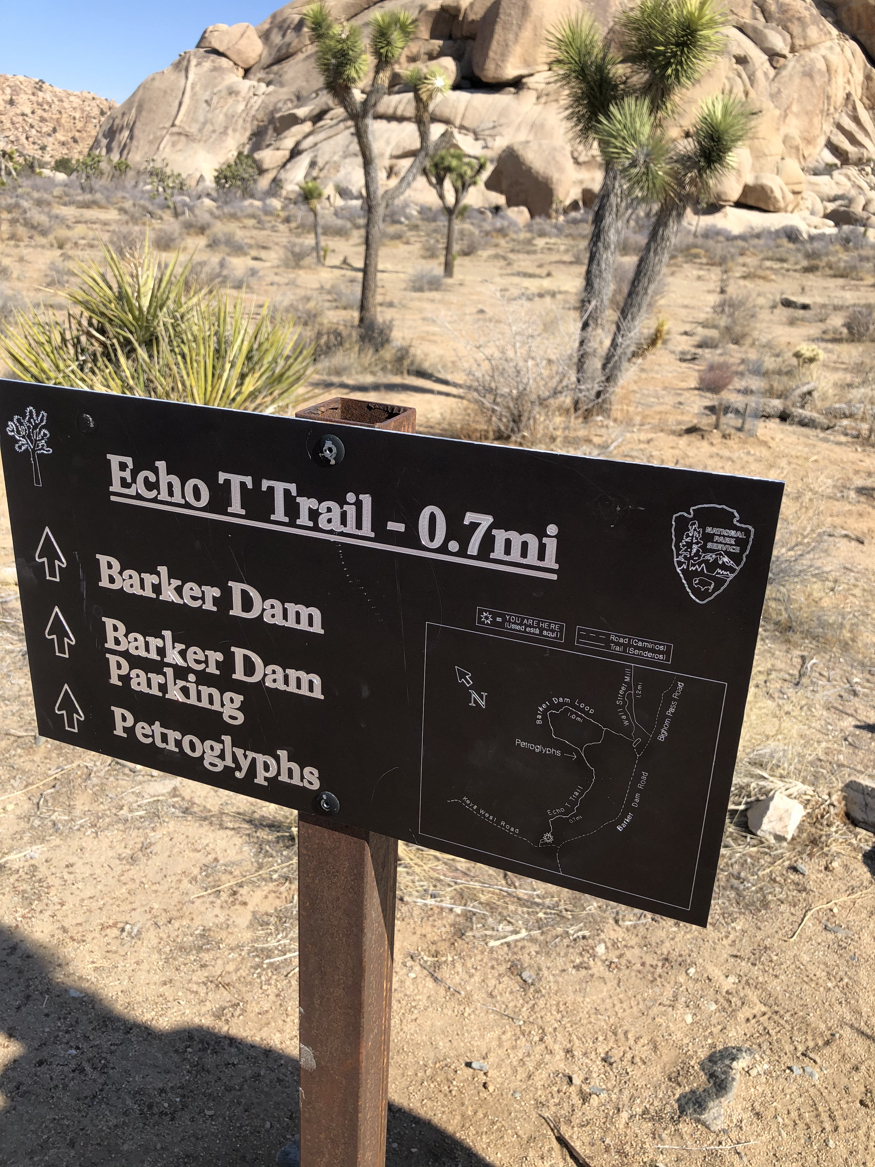
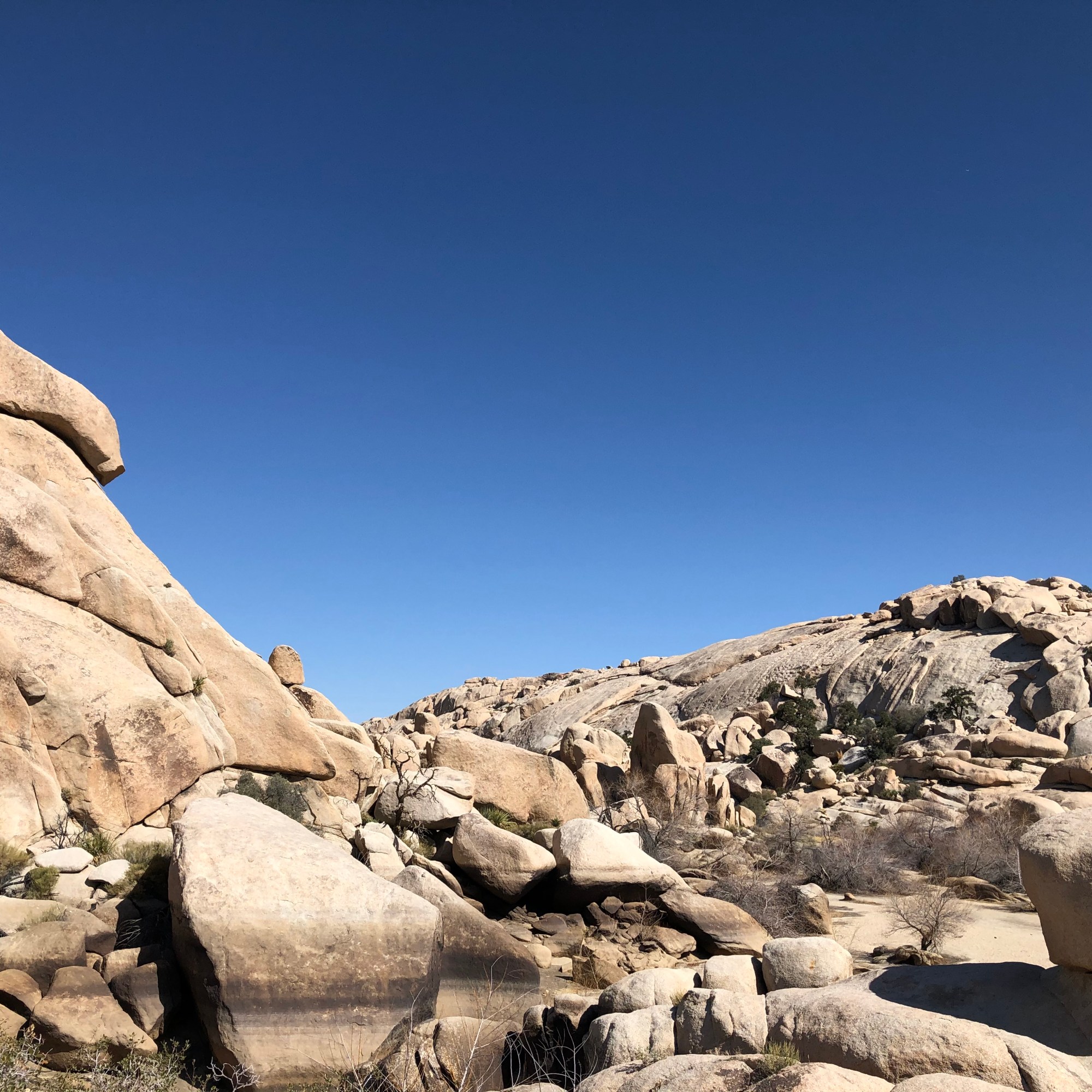
The main parking lot was full so we had to go down to the Echo T Trail parking area. It turned out to be a good thing despite the added walk. We first walked through an open plain towards some more rock formations.
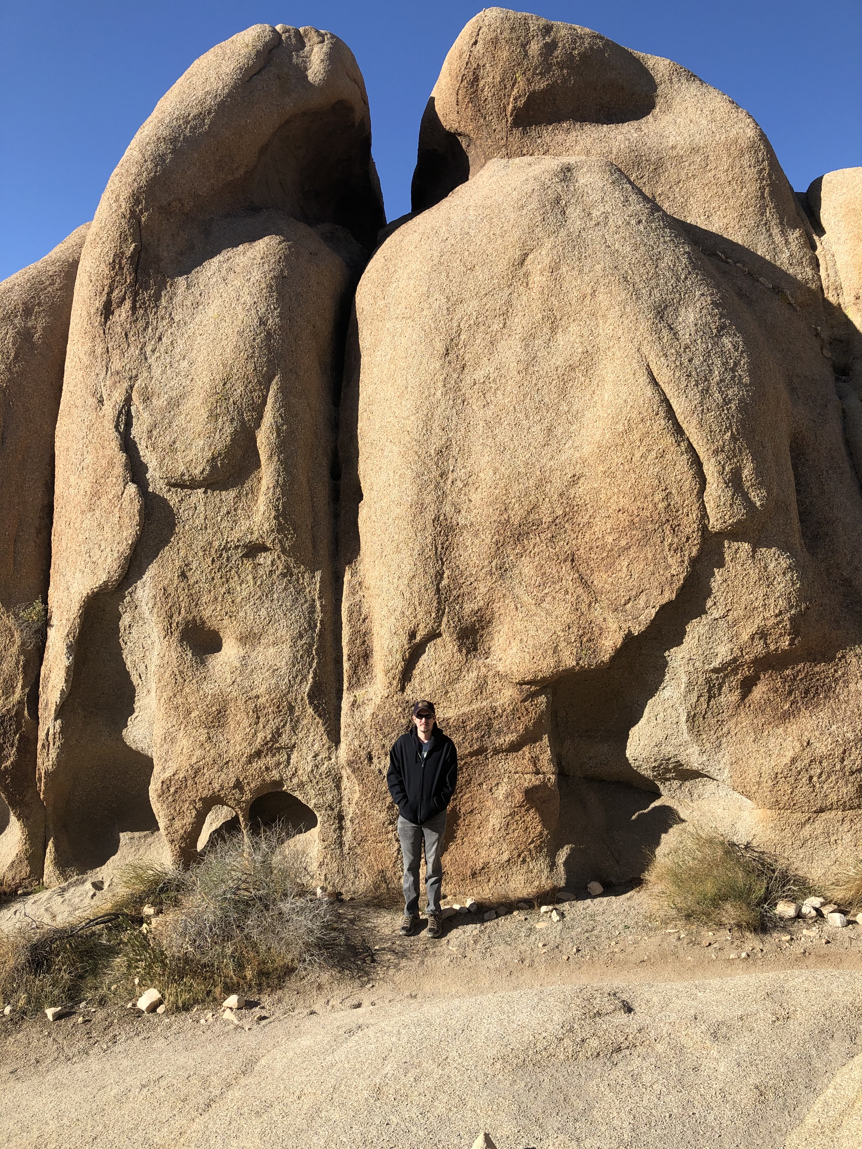
After climbing up a smooth rock we came to an area that had another giant rock for the climbers, some of whom were already making their way up it.
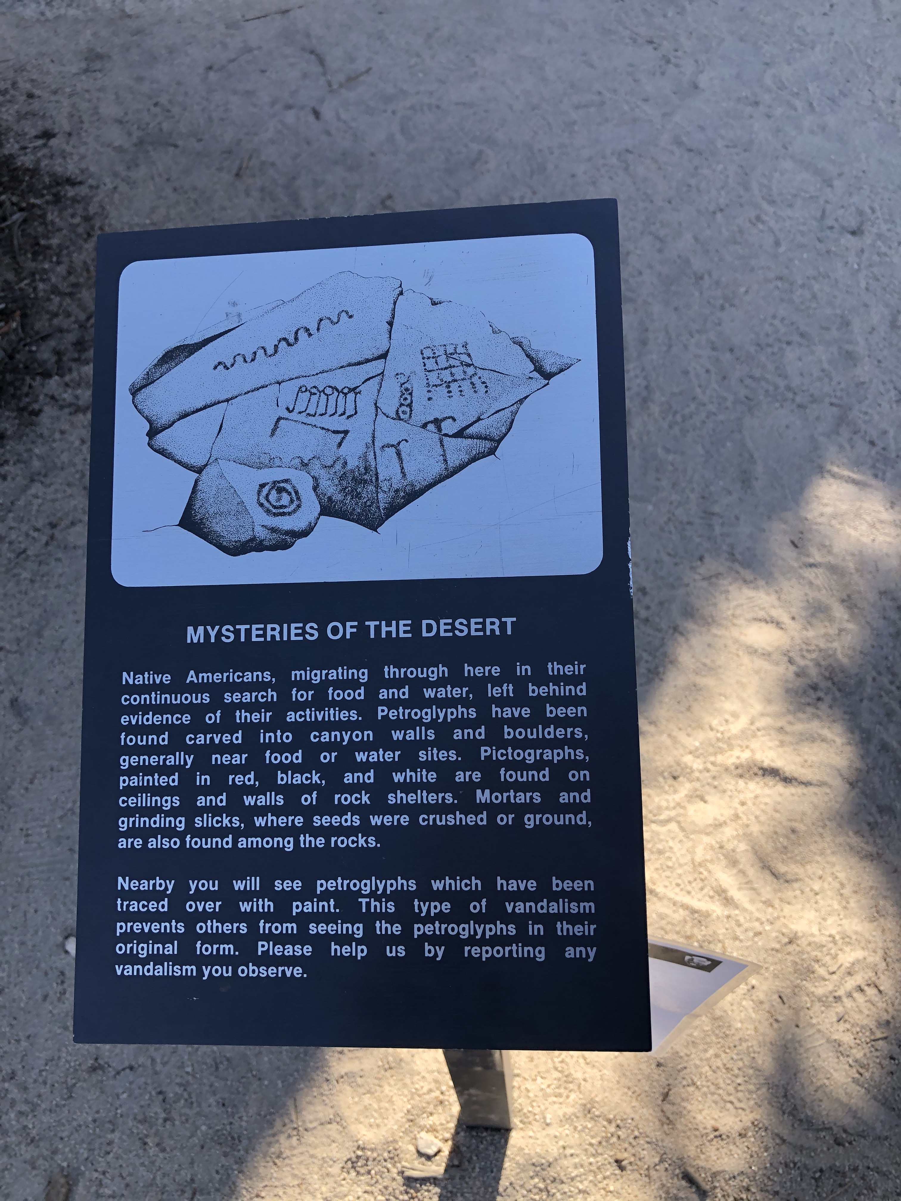
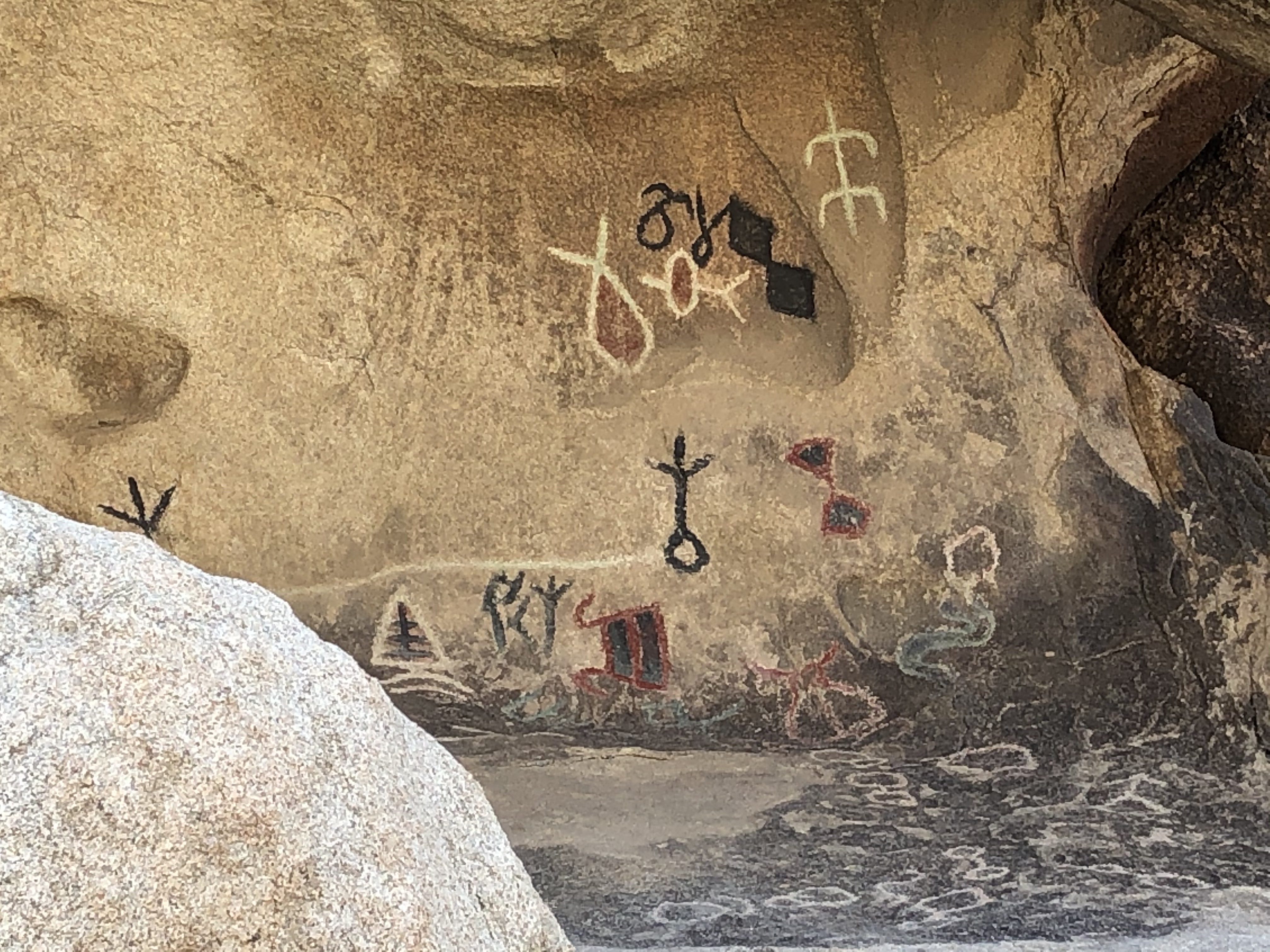
Then there was another giant rock to our right, but this one was quite different. It had some petroglyphs. Petroglyphs are created by removing part of a rock surface by picking, carving, or another way, to form rock art. The petroglyphs here were created by Native Americans that migrated through the area. Someone else vandalized the petroglyphs by painting over them so that they could be more easily seen.


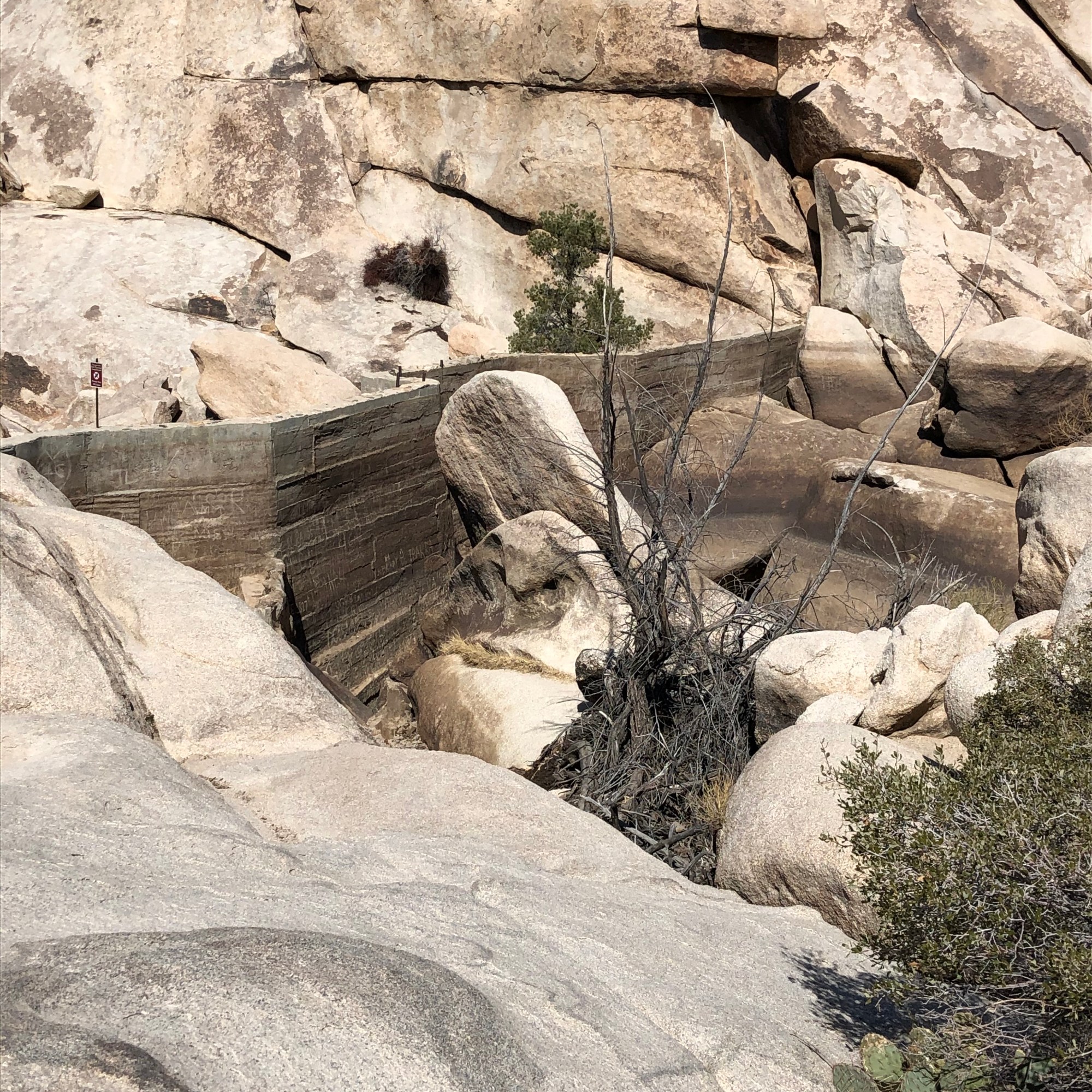
From there the trail leads to Barker Dam. We took the wrong branch but it was OK since we ended up walking less. We still came across many, many people taking the opposite way around the loop as this trail was extremely popular with families. Barker Dam is maybe 15-20 feet high and made of concrete. It looks to have been made to capture water after the rare rainfalls in the area. Rain in the a desert like the Mojave doesn’t really have any where to go so it just slides along the surface, taking the path of least resistance, and some of it ends up at the dam. There were noticeable lines on the rocks that showed how high the water level had been at the dam and also there were easily noticeable signs of where the water flowed along the desert floor.


After the dam we walked through a small trail that was between two more giant rock formations. Some of the rocks had trees, bushes, or other foliage growing on top of them. Then we walked along the road back to the car.
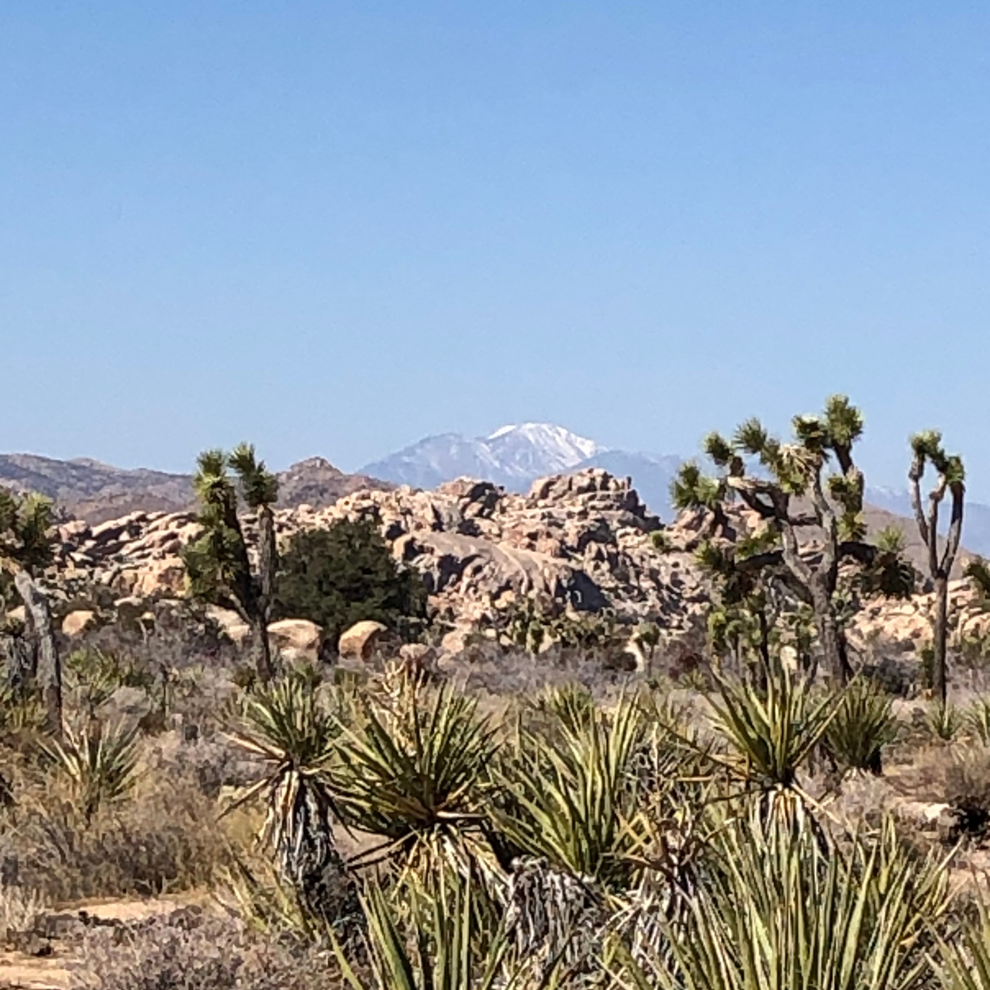
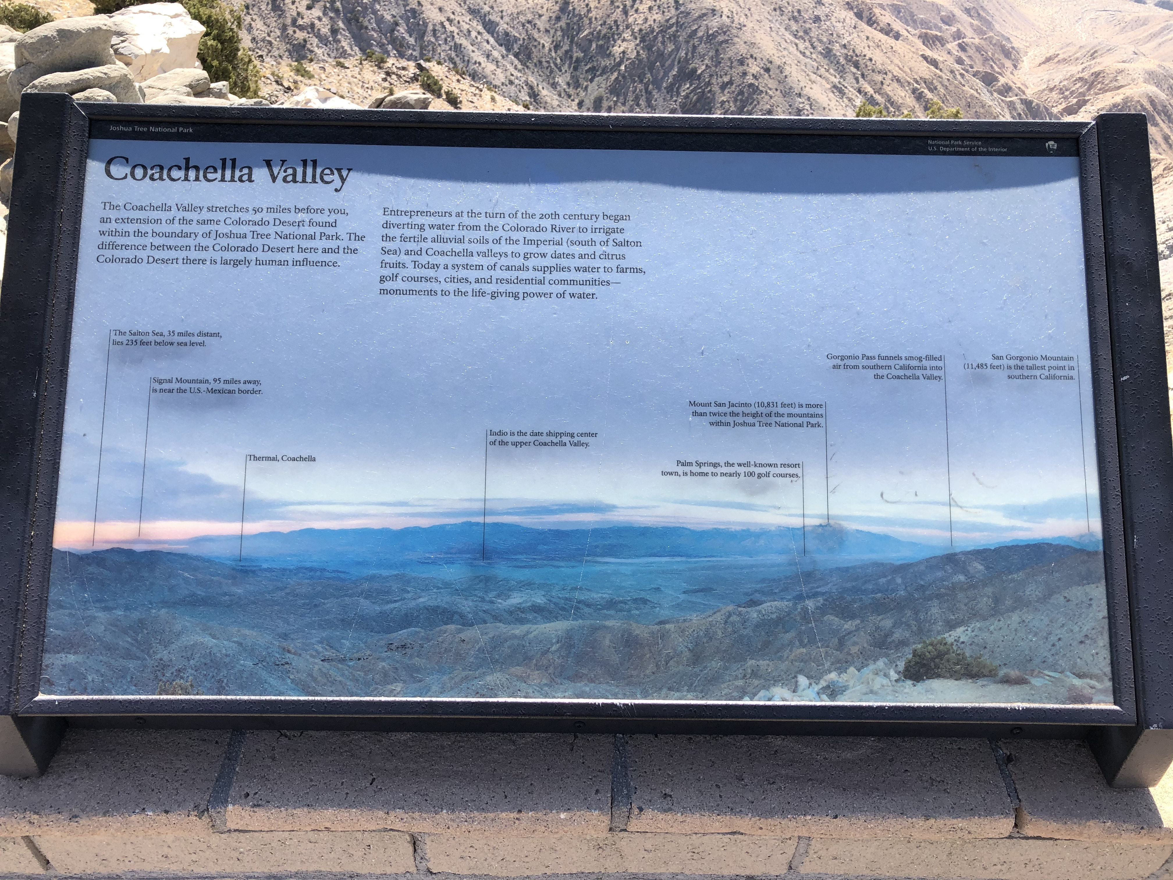
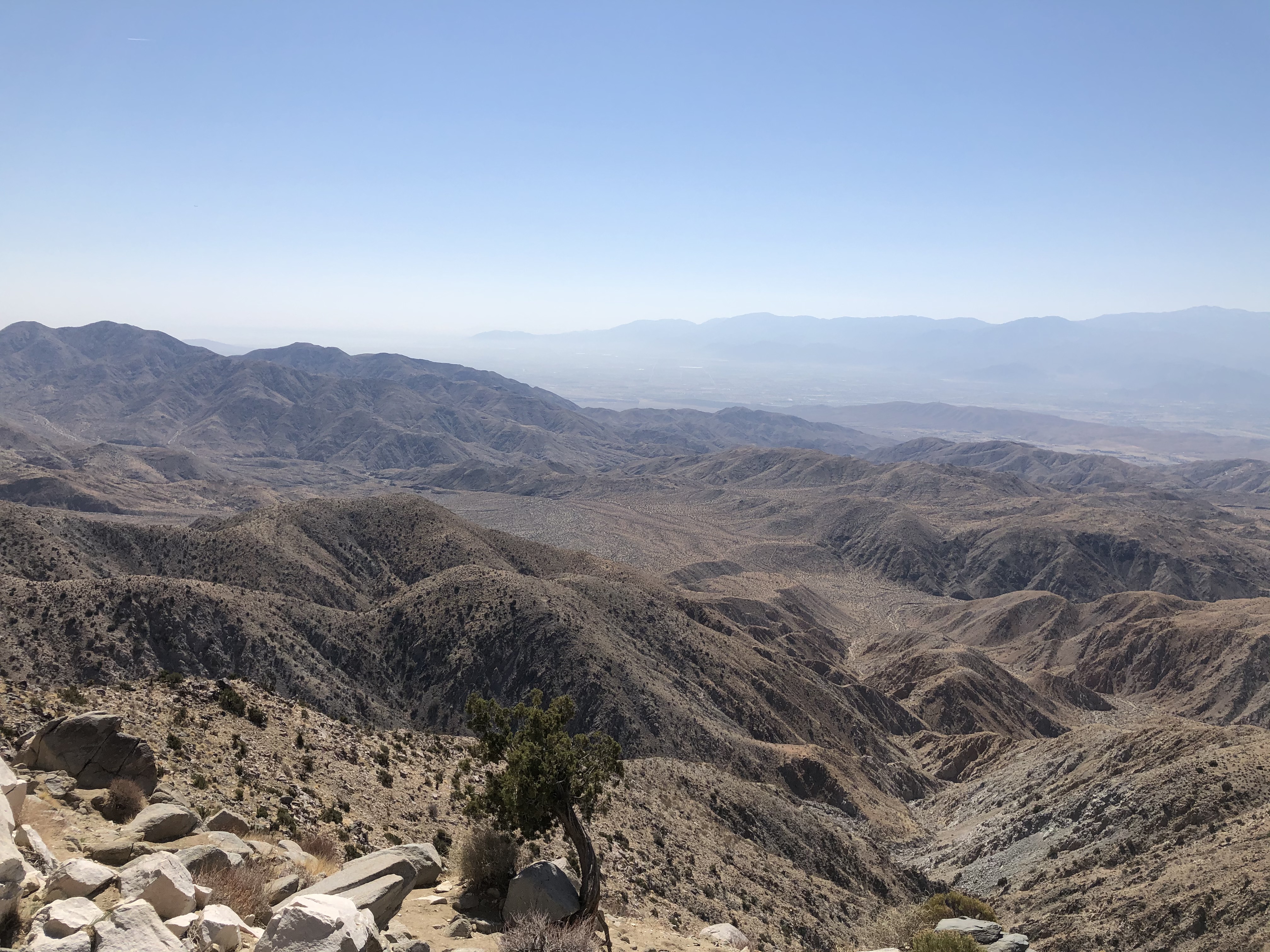
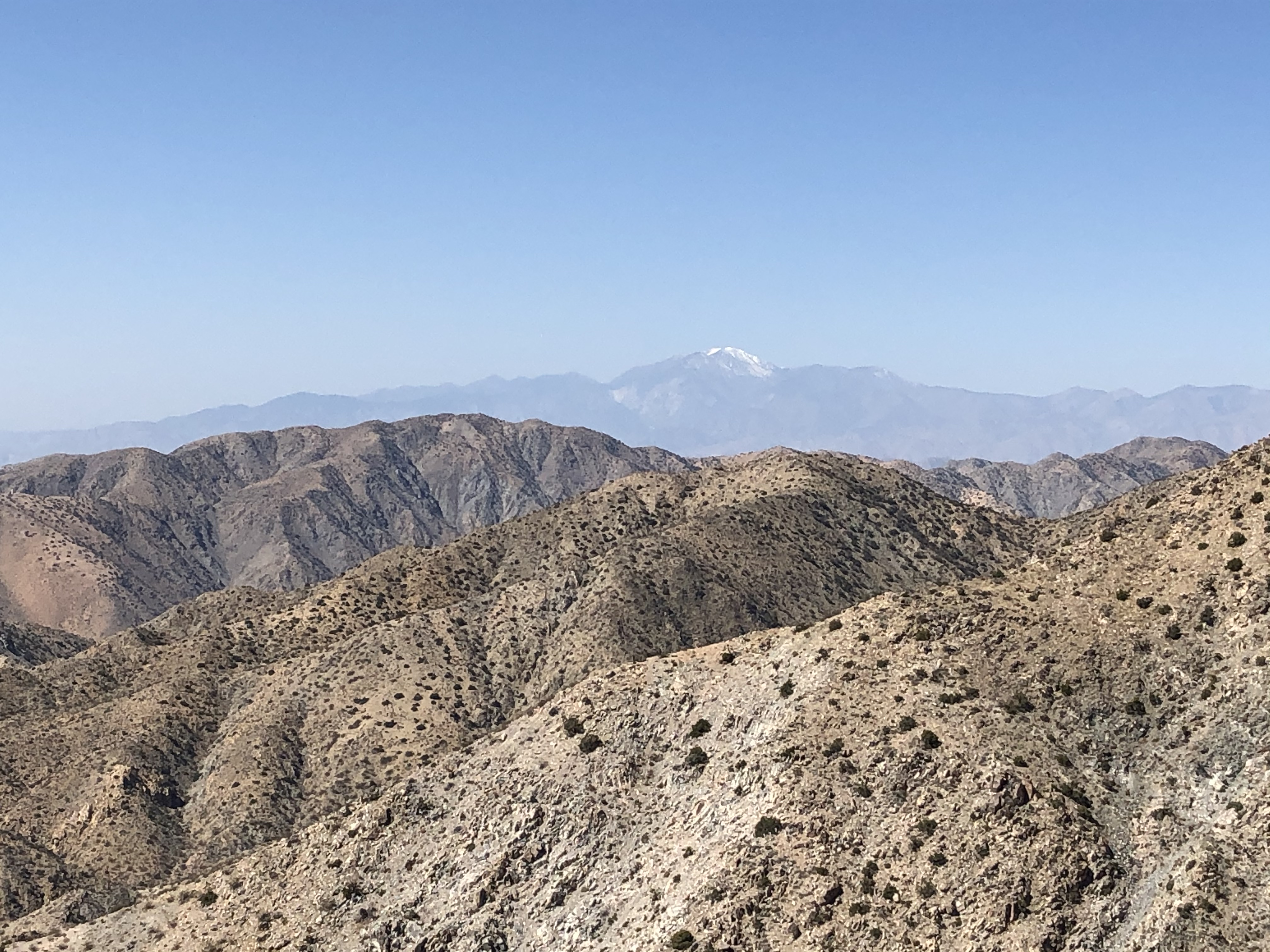
From there we took a leisurely drive to Keys View. It is a view point on top of a hill from where one can see most of the Coachella Valley. Off to the right in the distance are the Little San Bernardino Mountains and the city of Palm Springs. Off to the left is the Salton Sea. As the valley is typically hazy on a bright, sunny day, we were not able to see the Sea. In between our viewpoint and the mountains is the famous San Andreas Fault. I guess we lucked out as we did not feel any tremors throughout the day. It was extremely windy there and we did not stay long.

The original plan after Keys View was to go to the Lost Horse Mine trail. But, after our previous two long hikes, we were both feeling a bit tired, so we skipped it. That later turned out to be a good idea as we did not make it back to the Las Vegas area until well after nightfall.
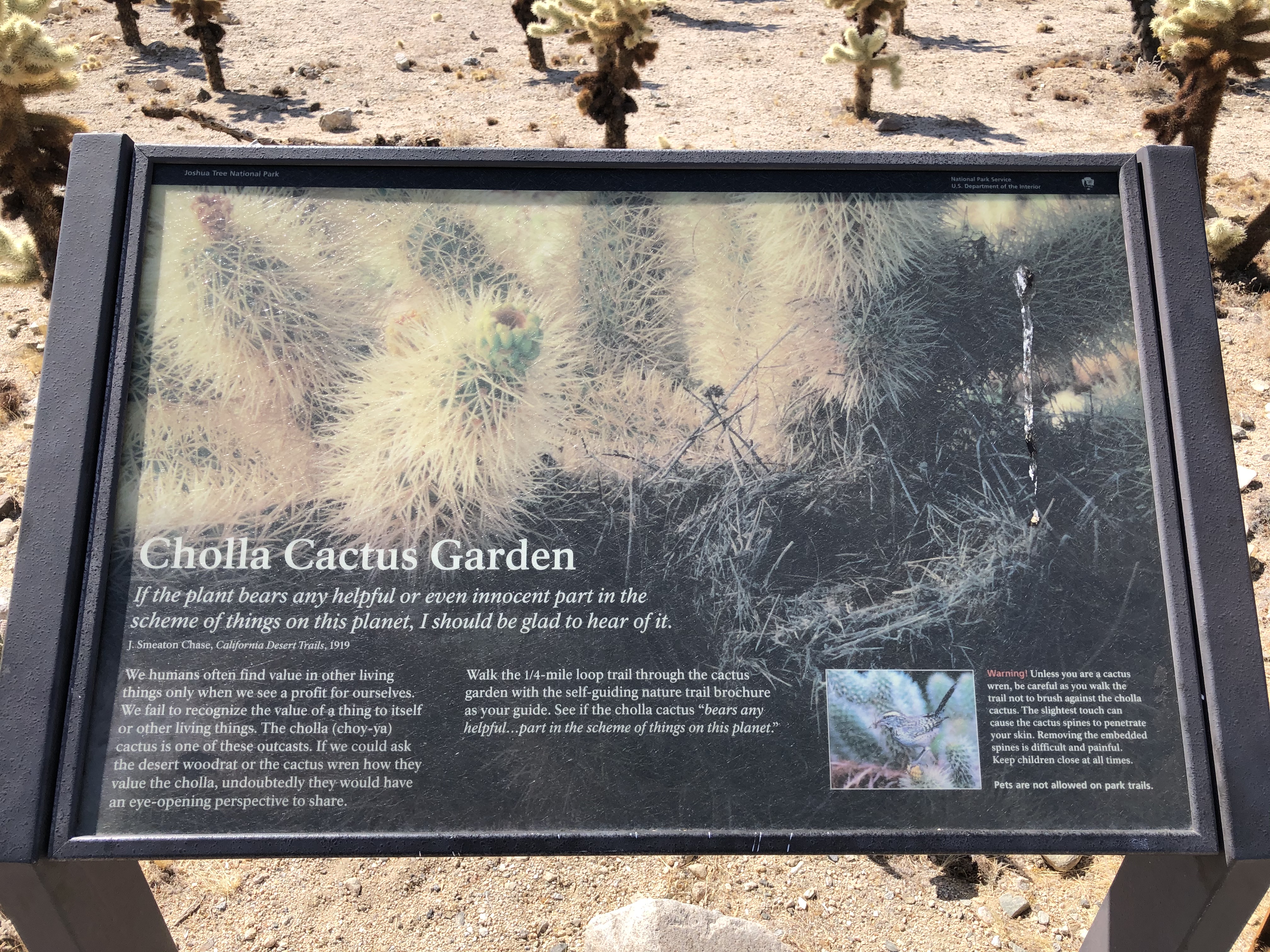
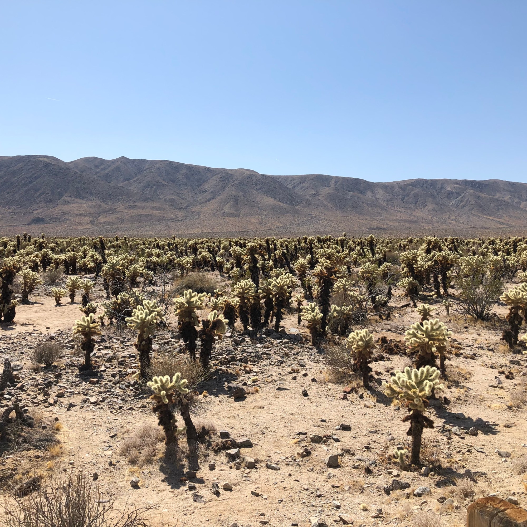
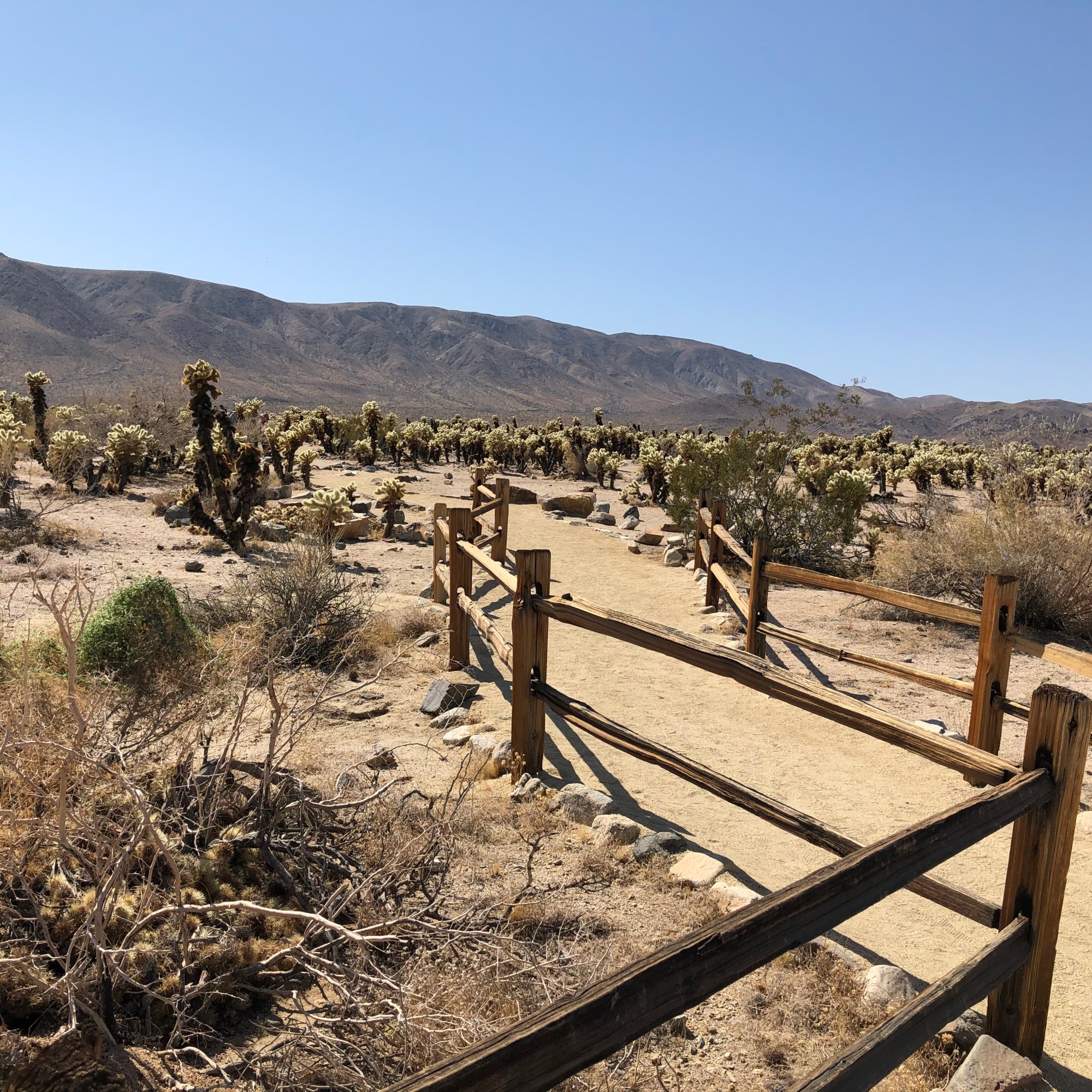
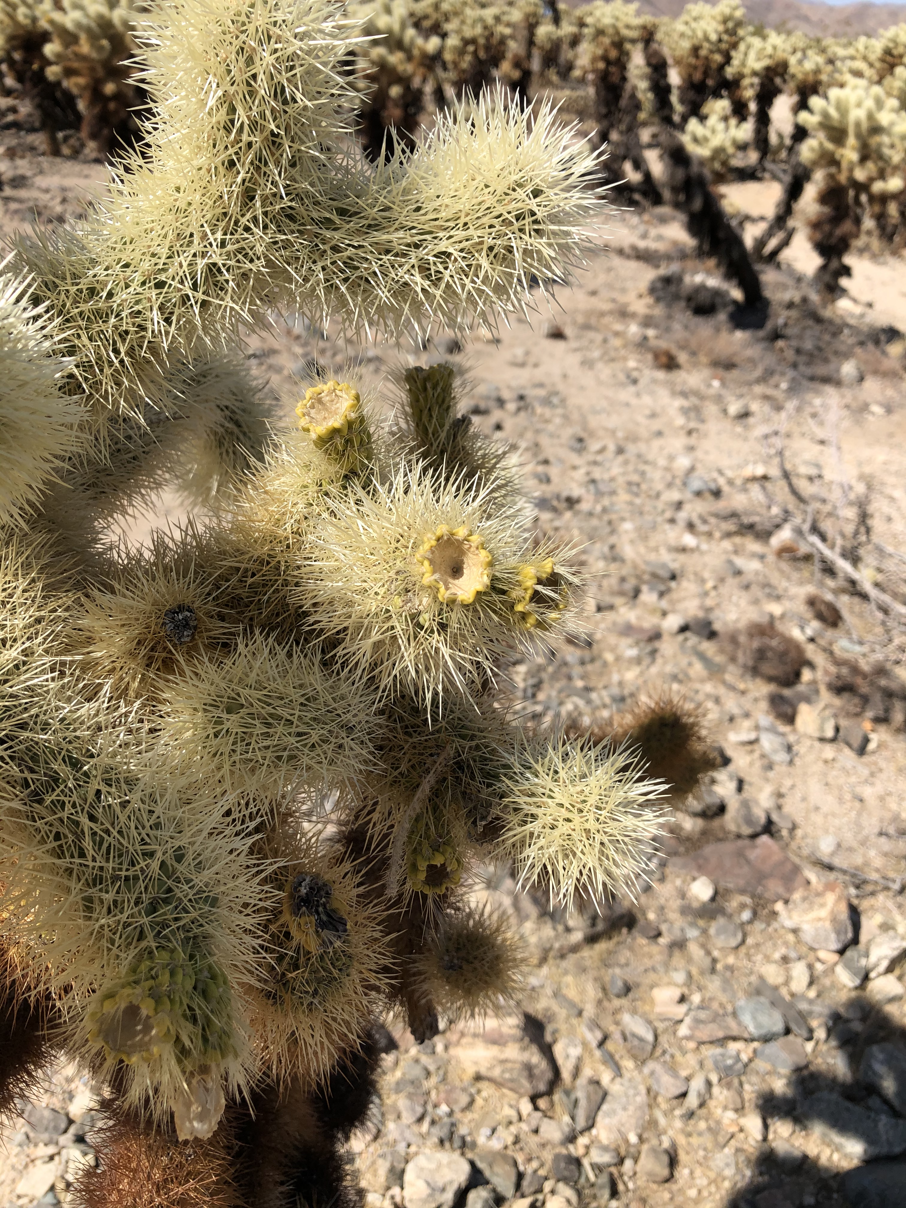
Instead, we drove for a bit, admiring the Joshua Trees, mountains, and rock formations along the way until we reached the Cholla Cactus Garden area. This was a neat are as the cactus were confined to just a small area in the park. It was as if this tiny area had the correct conditions (temperature range, elevation, water, and sunlight) for this specific type of cactus to be able to thrive.
The cactus do not exactly match the imagination of what a typical cactus looks like. They seem to be small trunks, like trees, and many “branches” that are covered in spines. The long dead ones are somewhat eerie looking hollowed out tubes with holes all over their trunk. It was still interesting and neat to see.


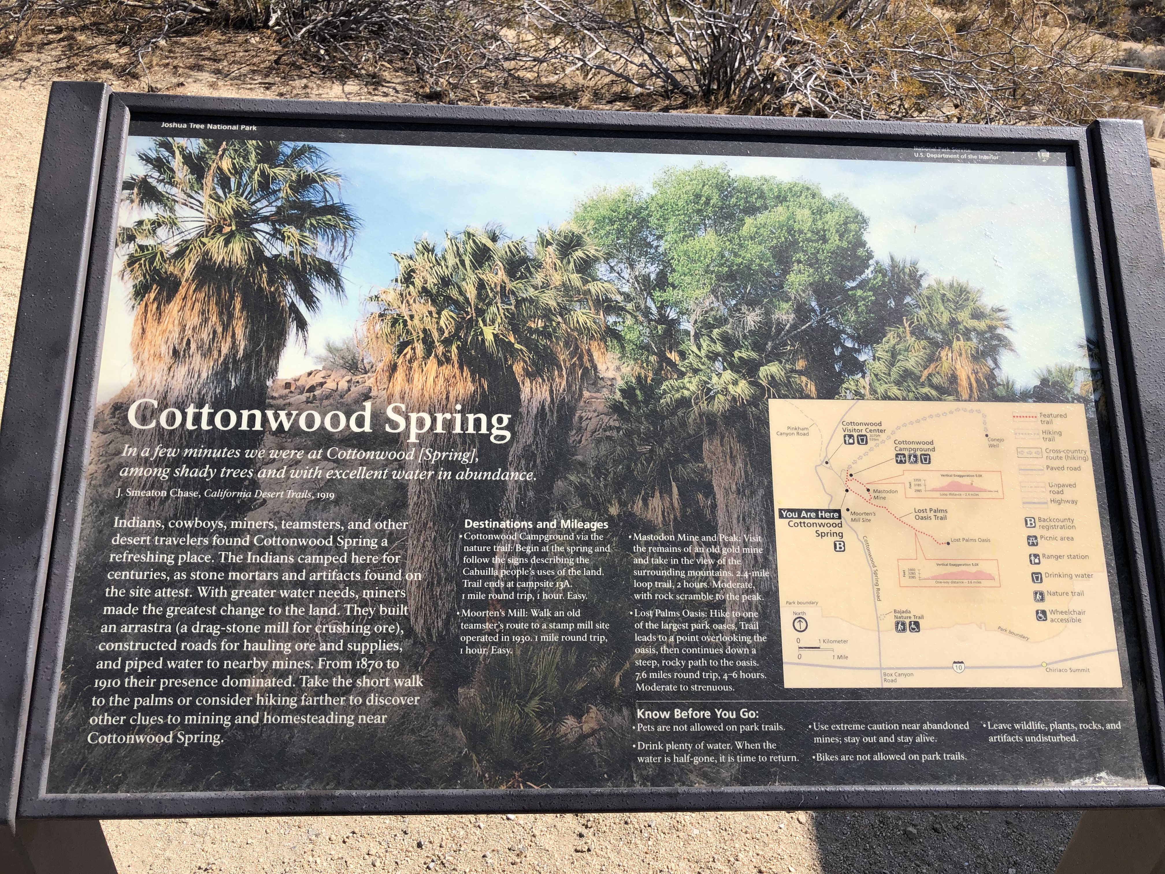
Next, we went down into the valley to the Cottonwood area. The first stop was at the visitor center where we picked up another stamp for our Passport book and I bought a shirt. If you visit any of the parks in our vast national park system I highly recommend getting the Passport book to keep a record of your travels. All of the visitor centers have them. Just ask one of the park rangers about it if you have any questions.
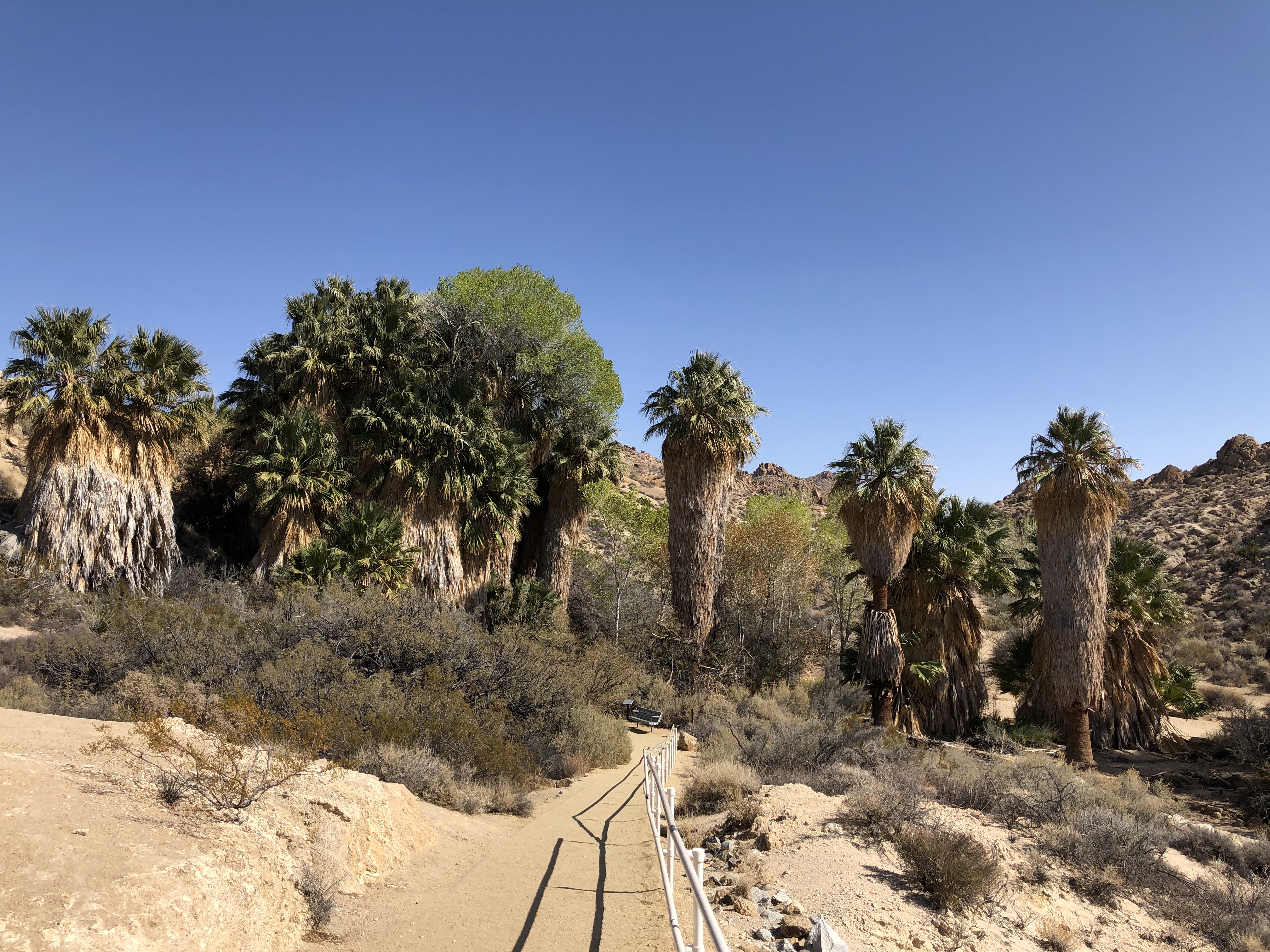
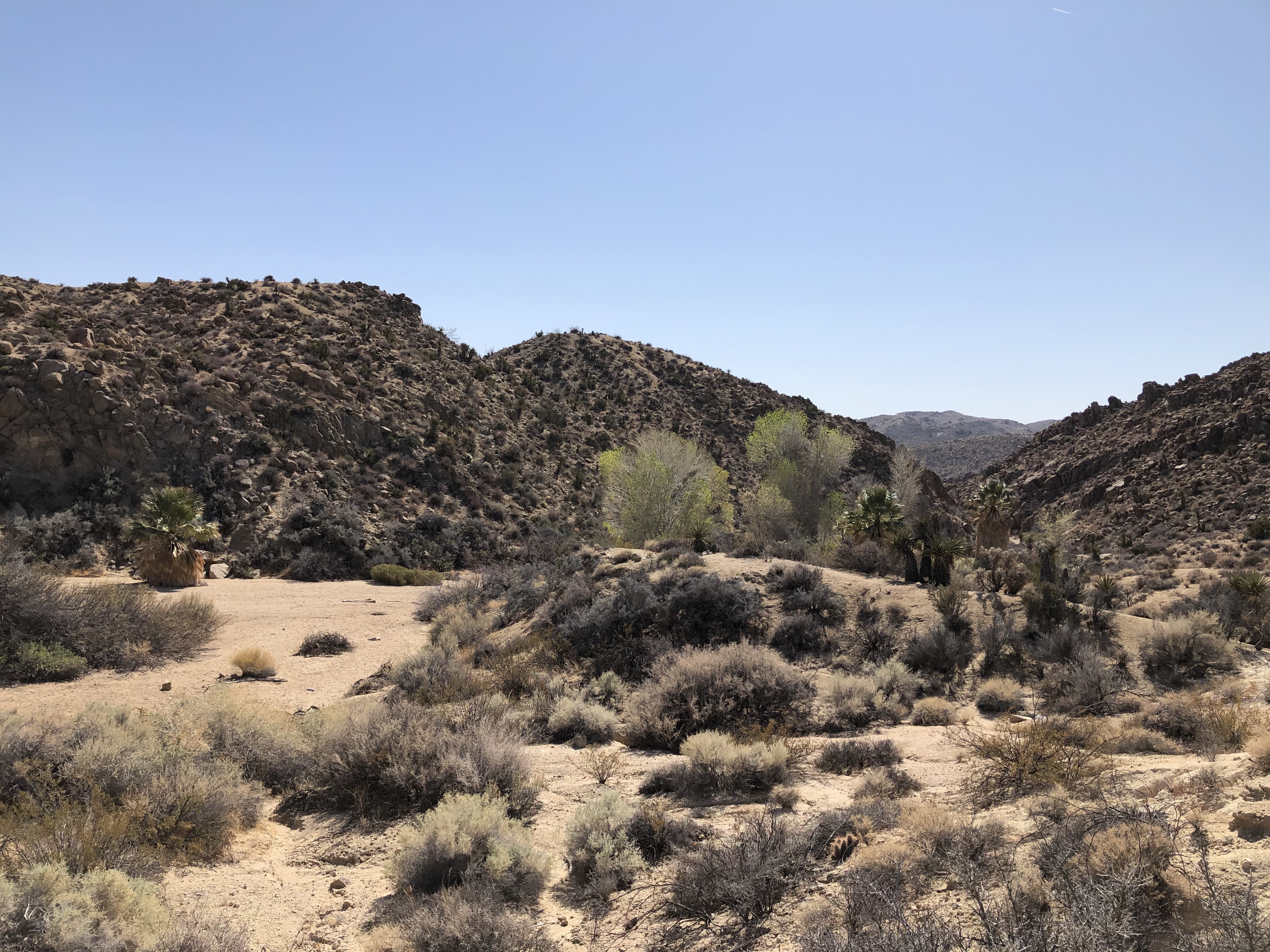
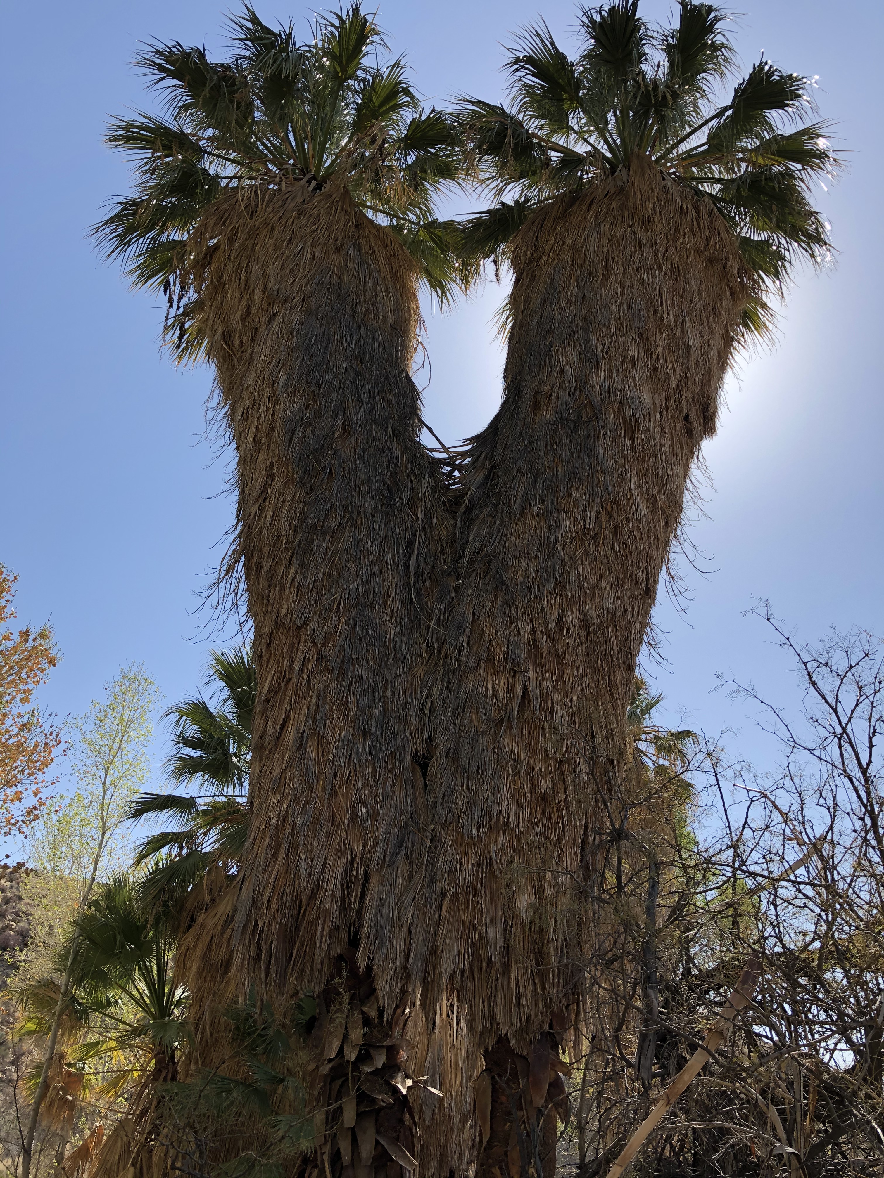
Not far from the visitor center is another oasis. We took the short trail down to it but did not see any water on the surface. There were more than a few giant palm trees though.

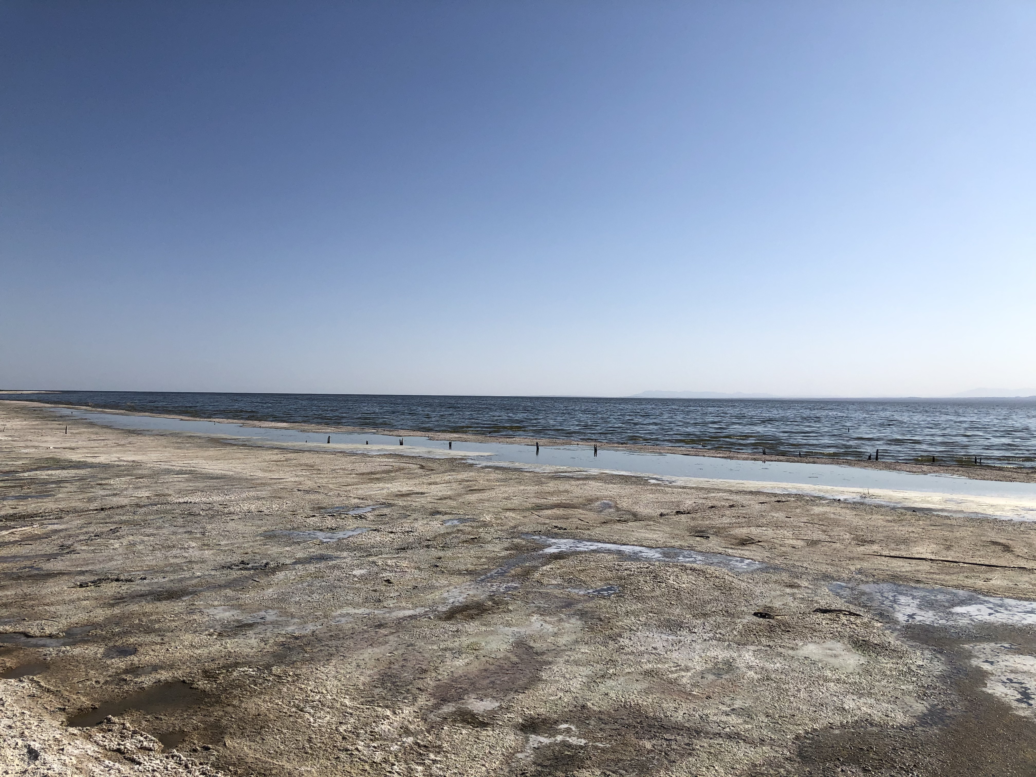
As we were ending on the south side of the park I wanted to make the trek to the Salton Sea. It was something I had wanted to see for myself since I was a kid. The Salton Sea was created in the early 1920’s after irrigation canals from the Colorado River broke. The water rushed to the lowest point in the area which created the inland sea. On our third try to get to it we were finally successful and was able to walk up fairly close to it but not close enough to get into the water. The area near the water was not exactly a sandy beach but more of a really damp, stinky, mud that we sunk into a little bit a few times. I got as close as I thought I could and still feel safe.


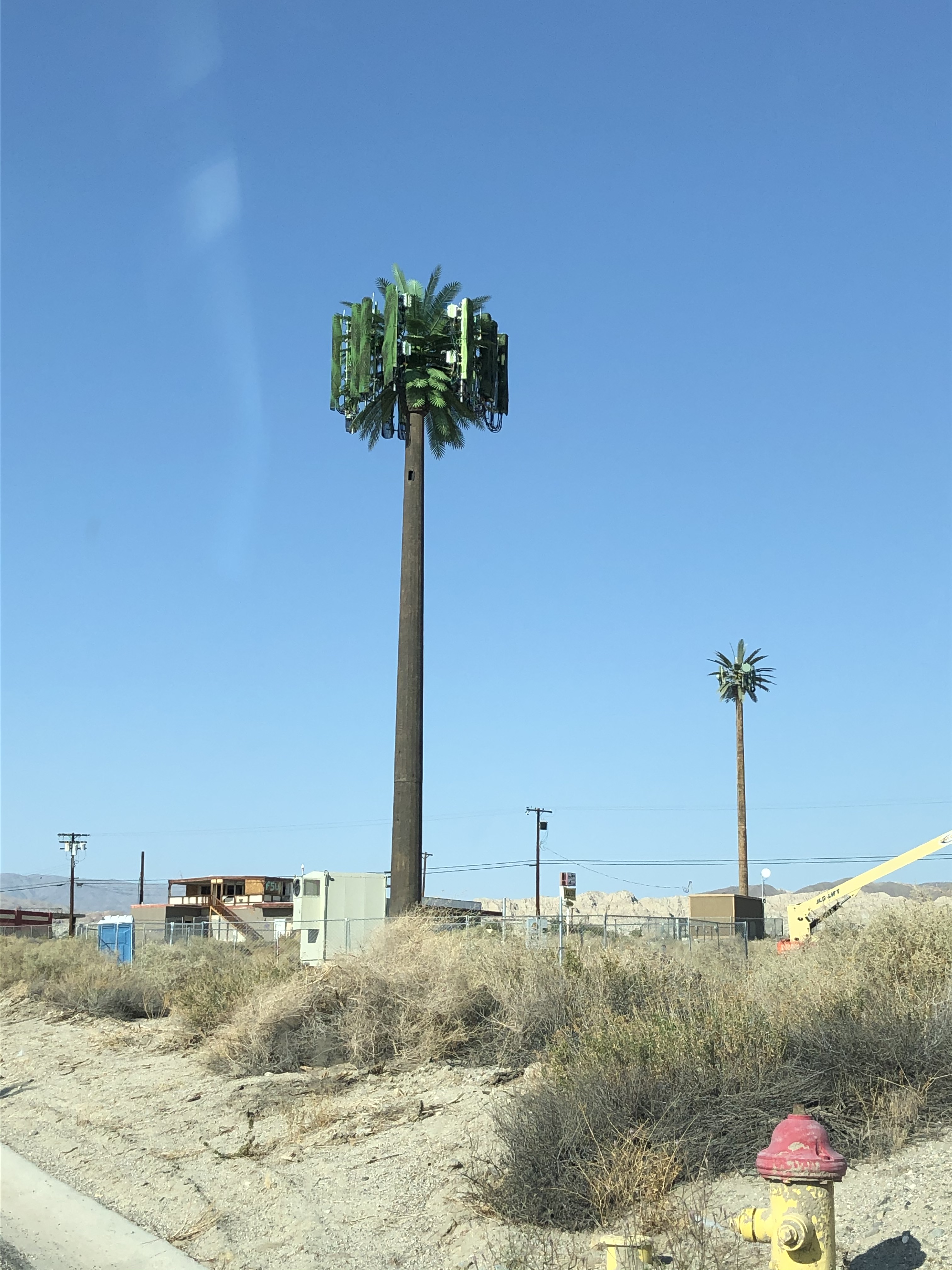
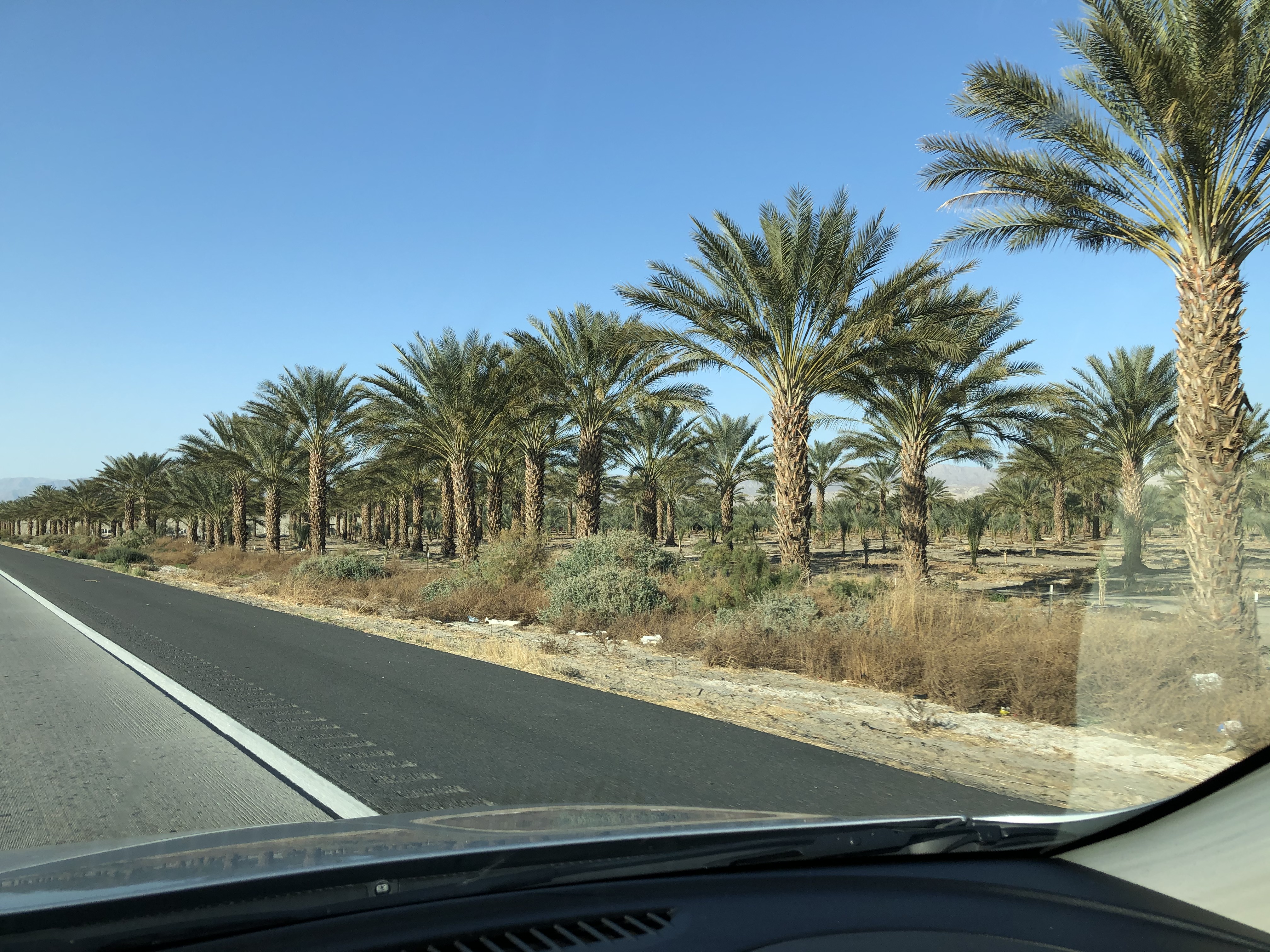
The area around the sea was pretty cool though. There are many farms for various things. The most surprising was the seemingly thousands of palm trees spread over many different tree nurseries.
The drive back to Las Vegas was interesting as well. We stopped at a gas station/market frequented and seemingly owned by Spanish speakers. It contained a lot of foods from Mexico. Seeing Palm Springs, Desert Springs, and the other little towns along the was was pretty cool too. By nightfall we were back in the Mojave National Preserve which was also a treat to see after the moon rose fully. And then we got to see some of the casinos along the way all lit up as well.
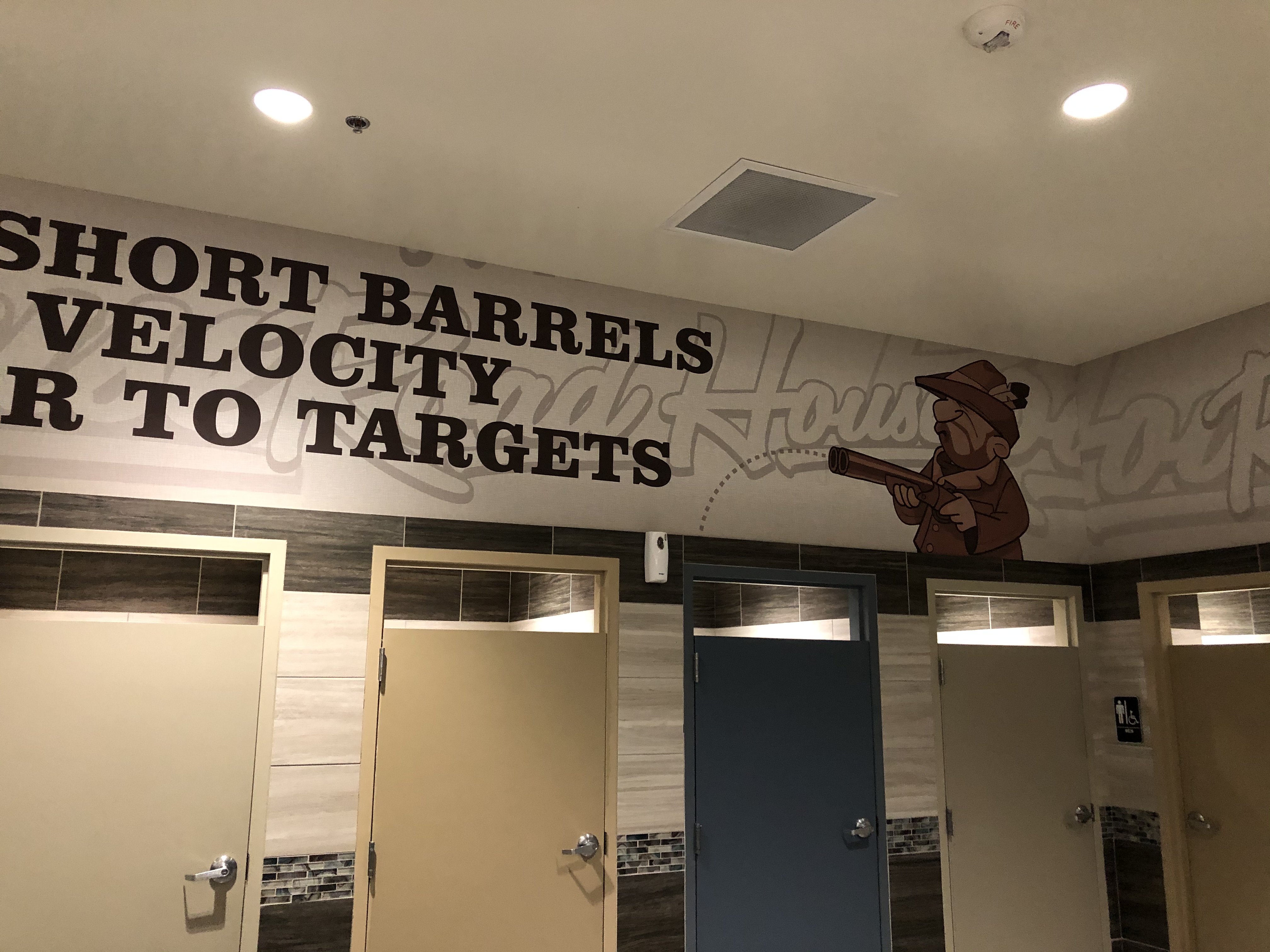
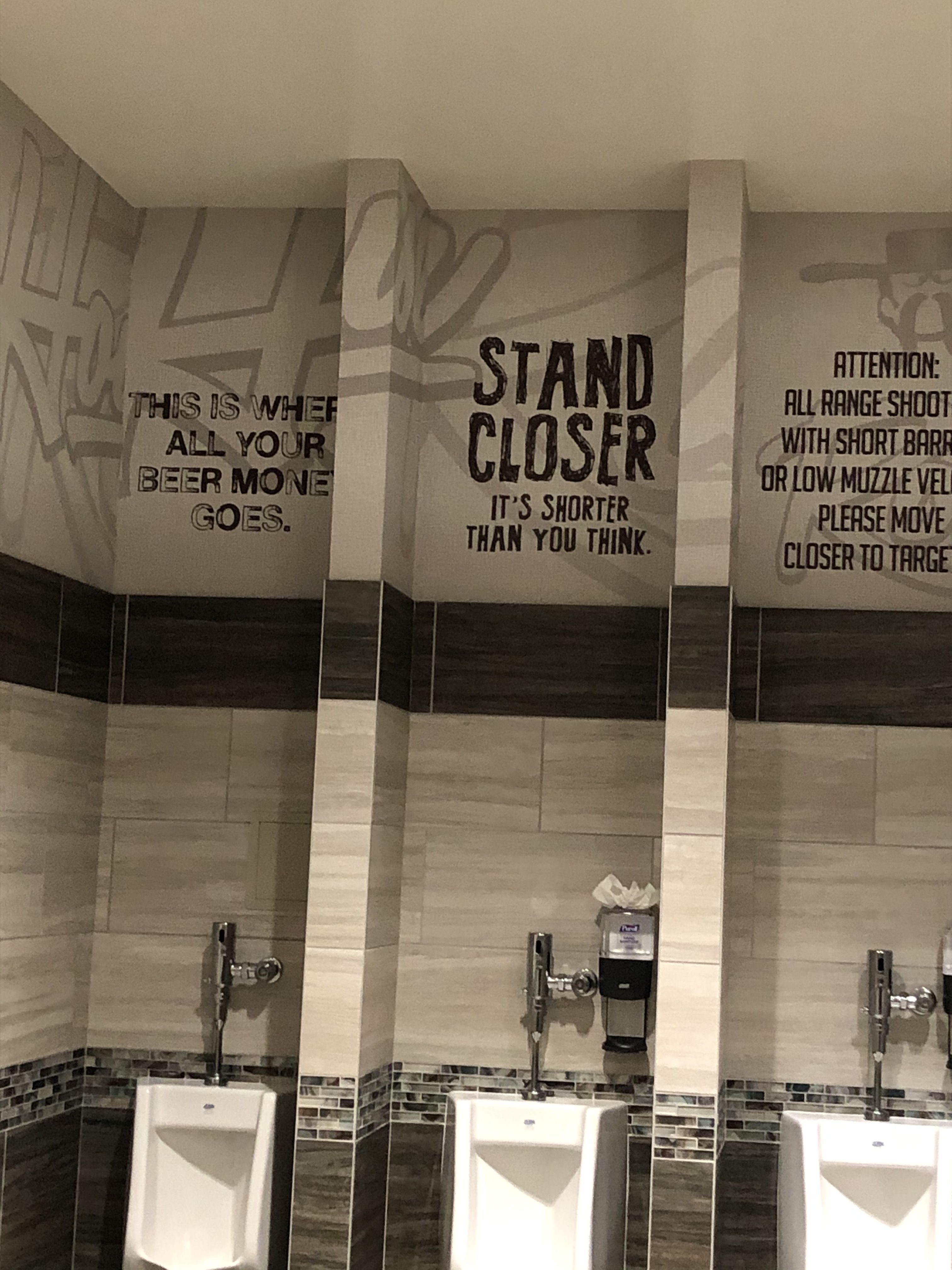
Here are some pictures from the restroom of the Terrible’s gas station south of Las Vegas.

When we made it back to the Las Vegas area we had In-N-Out Burger again (at the same one we ate at on our first day of the trip) and then found our hotel room to bed down for the night.
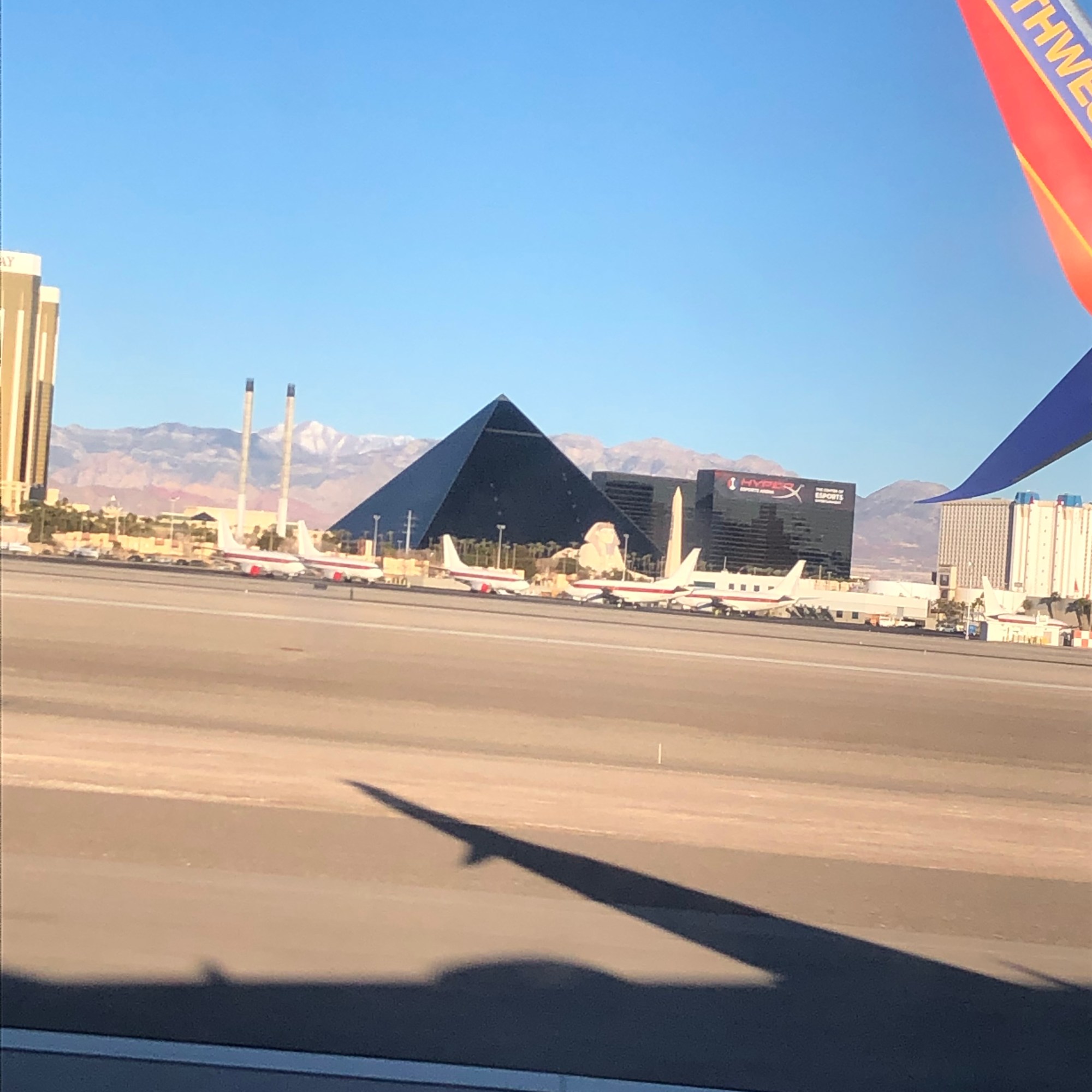
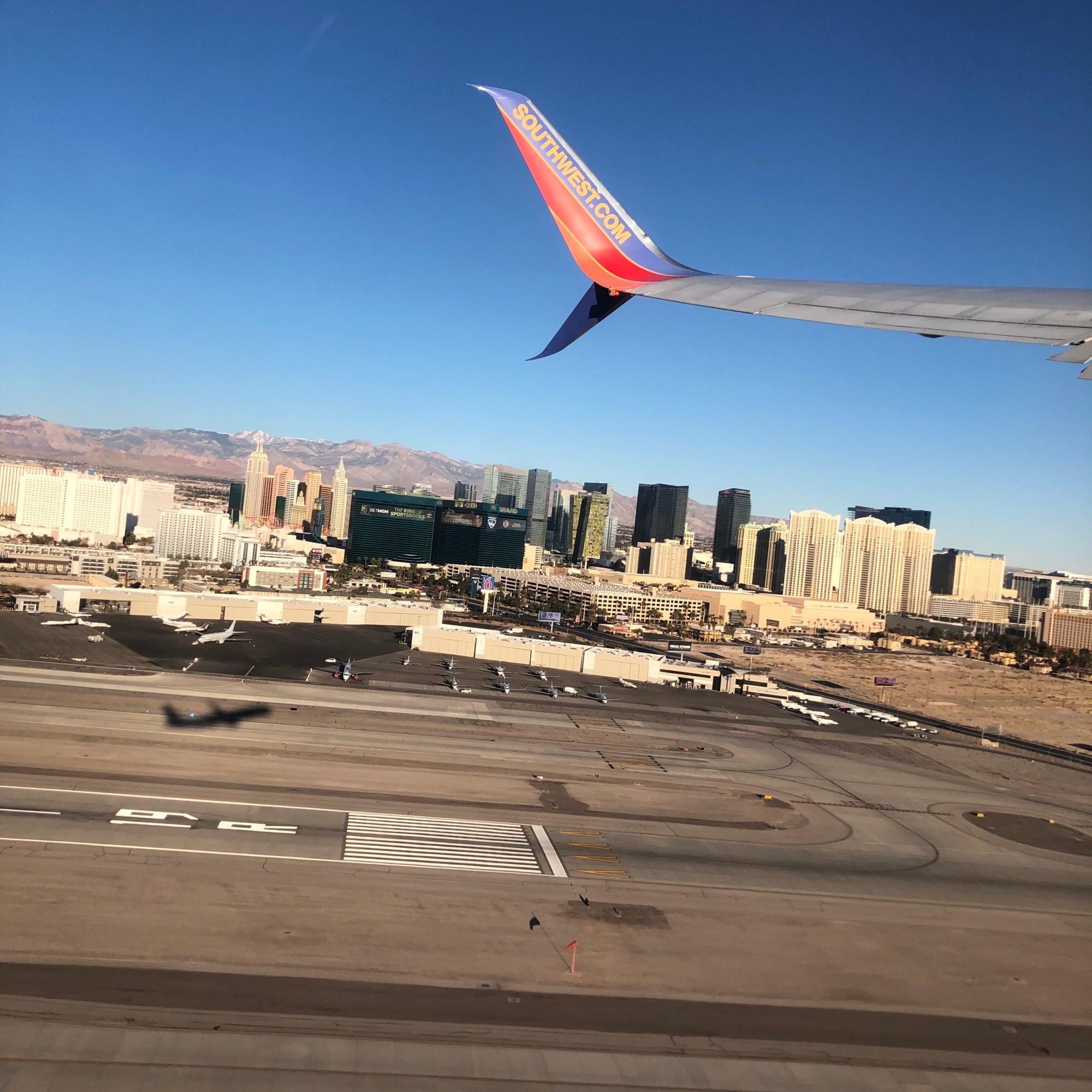
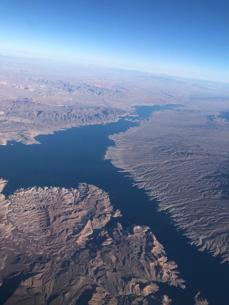
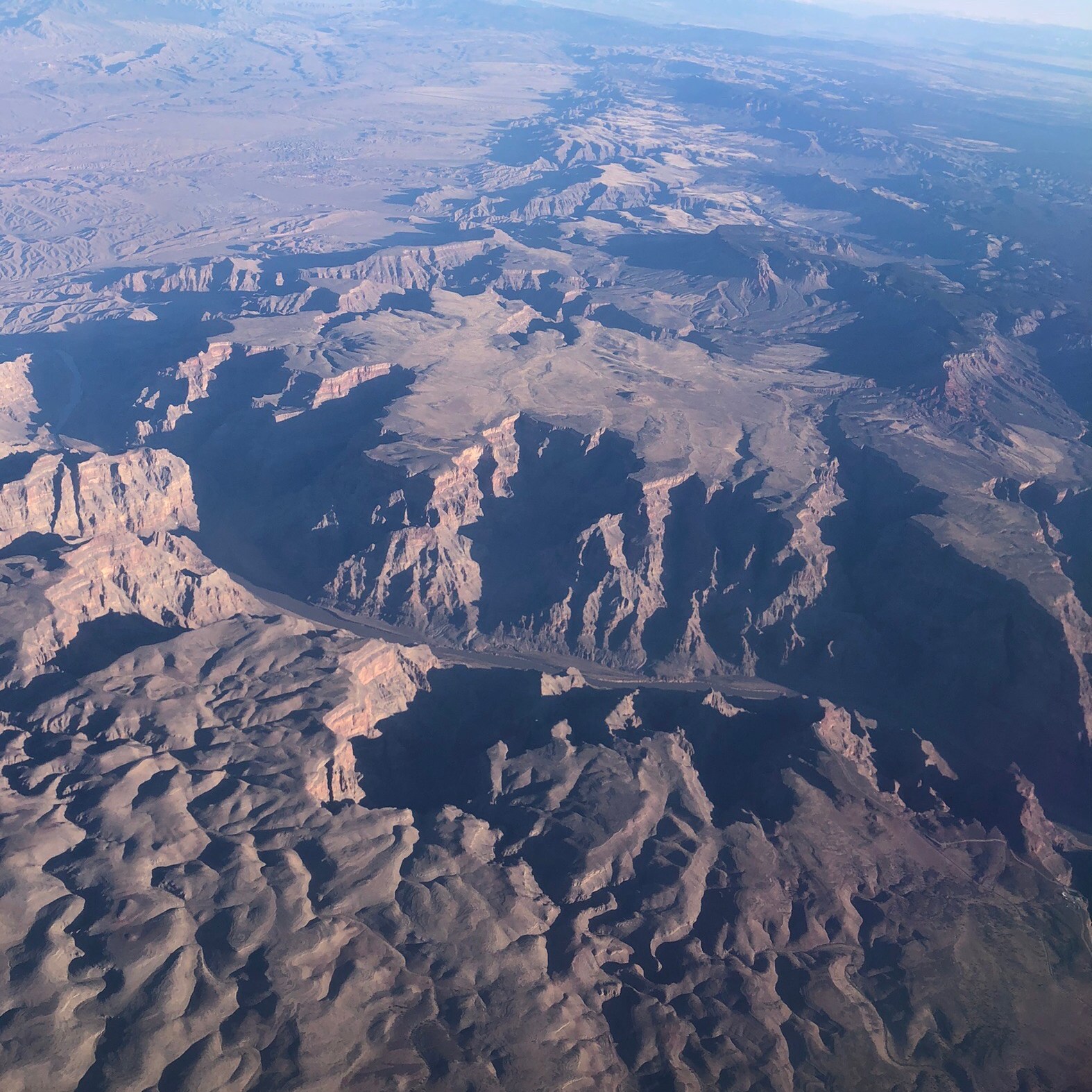
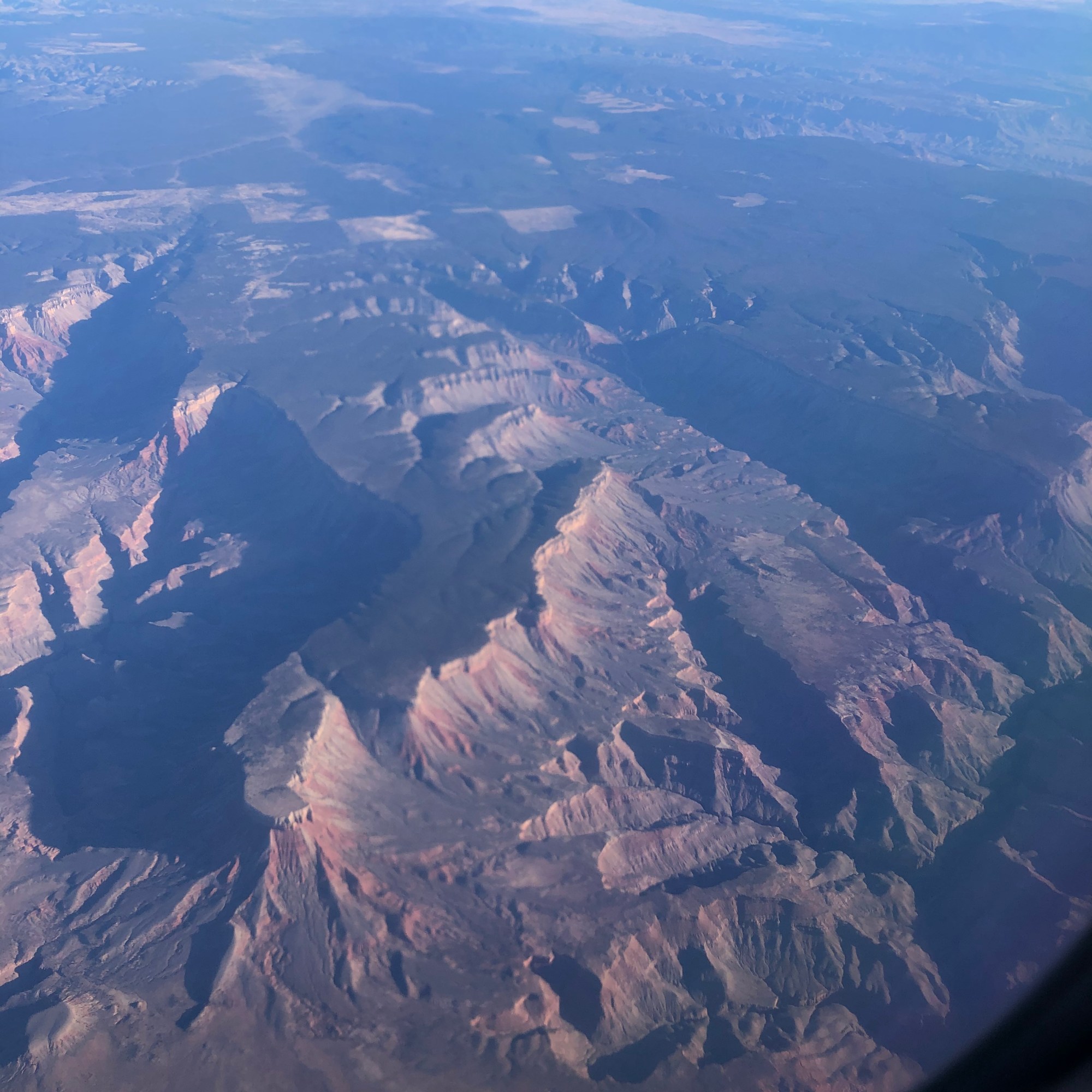
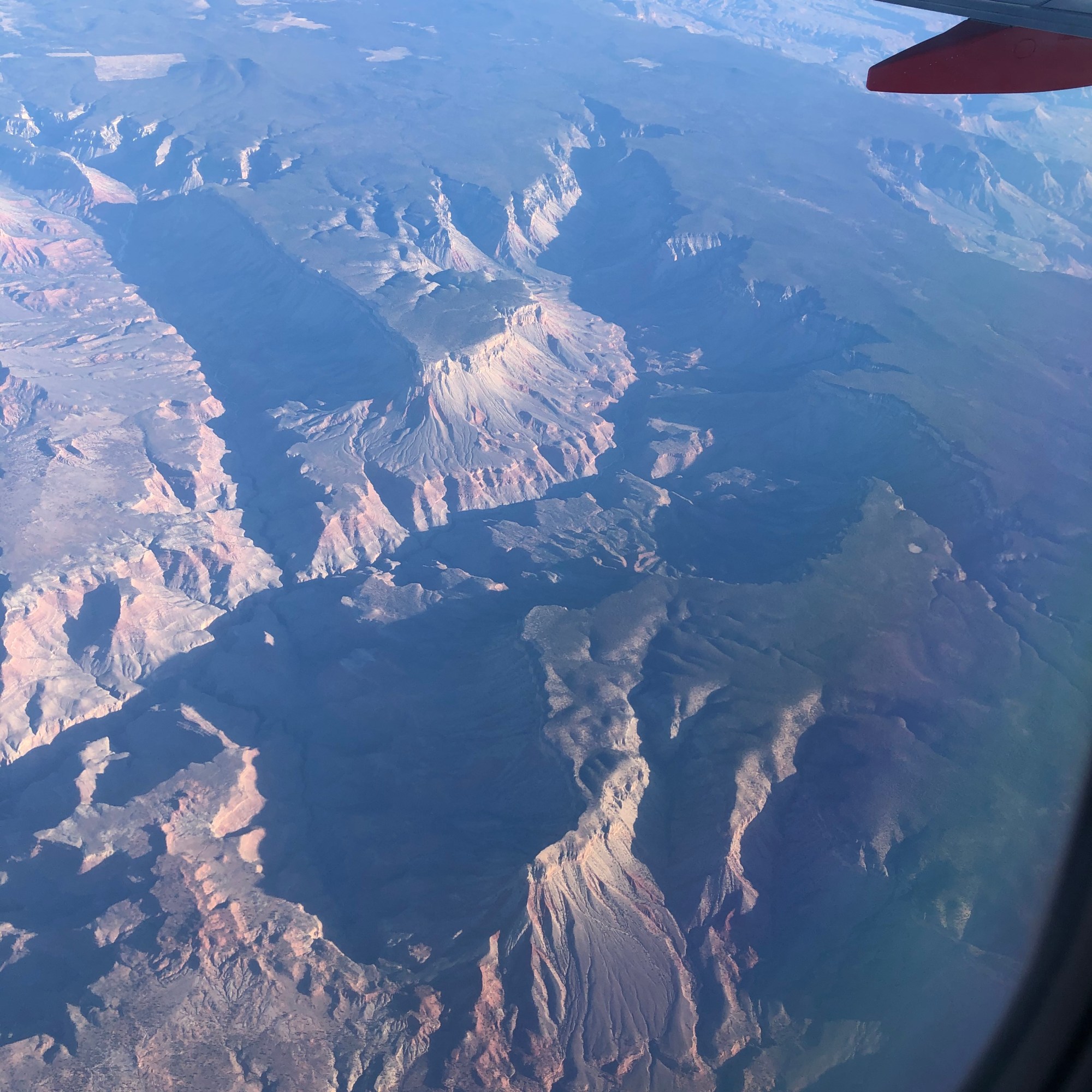
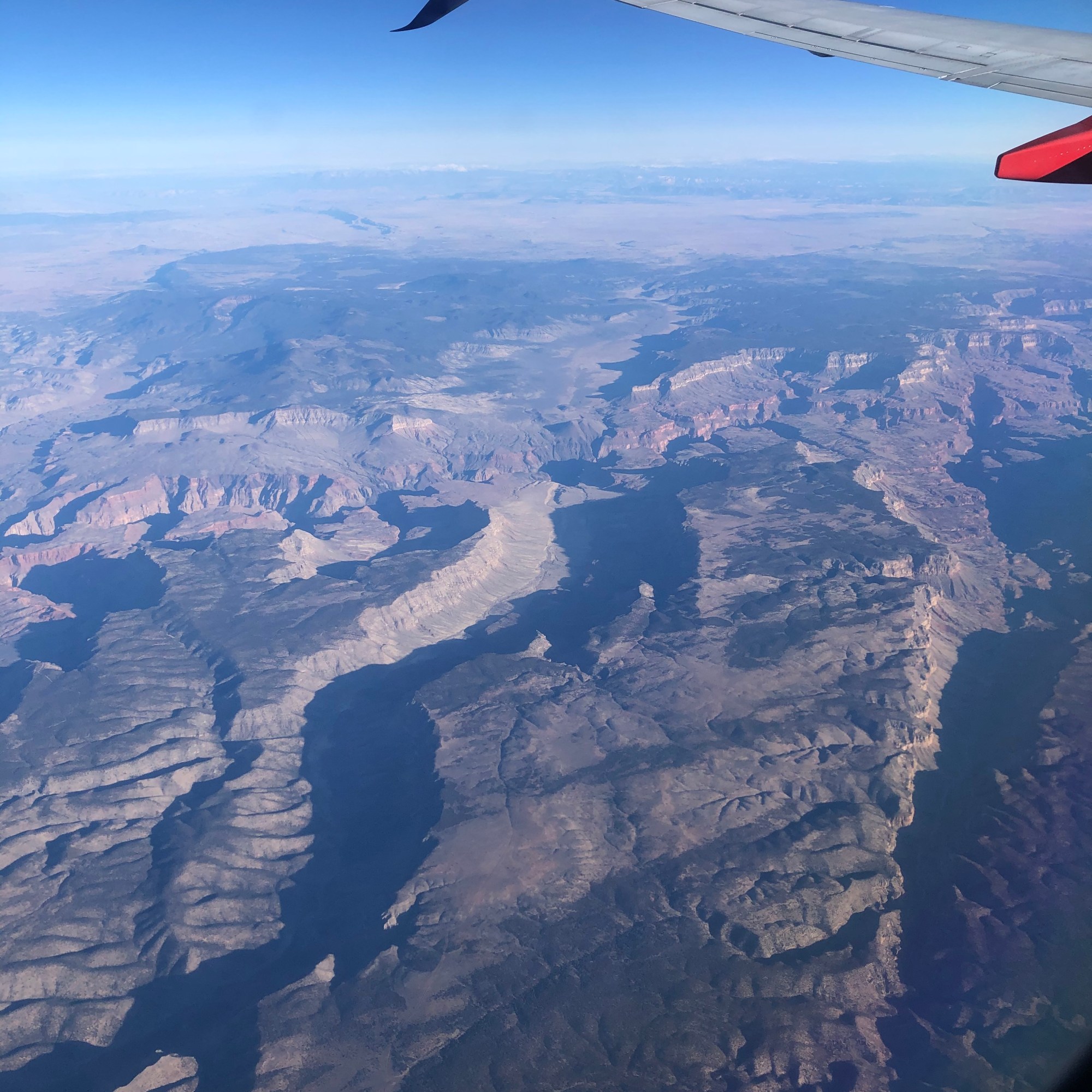
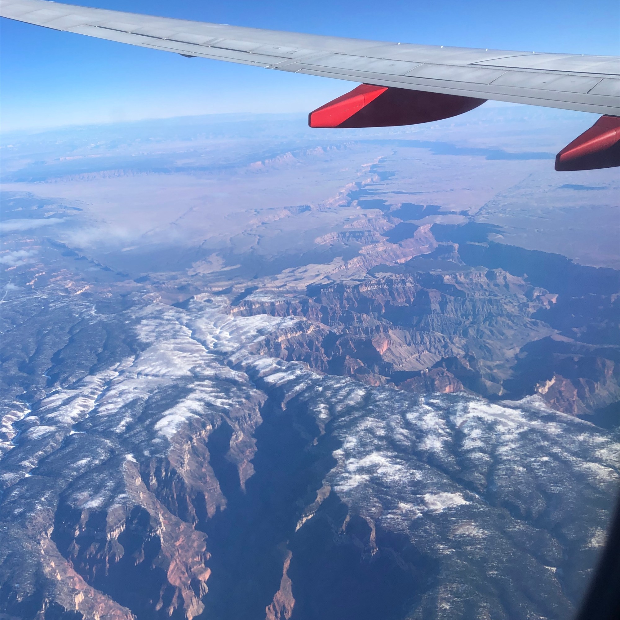
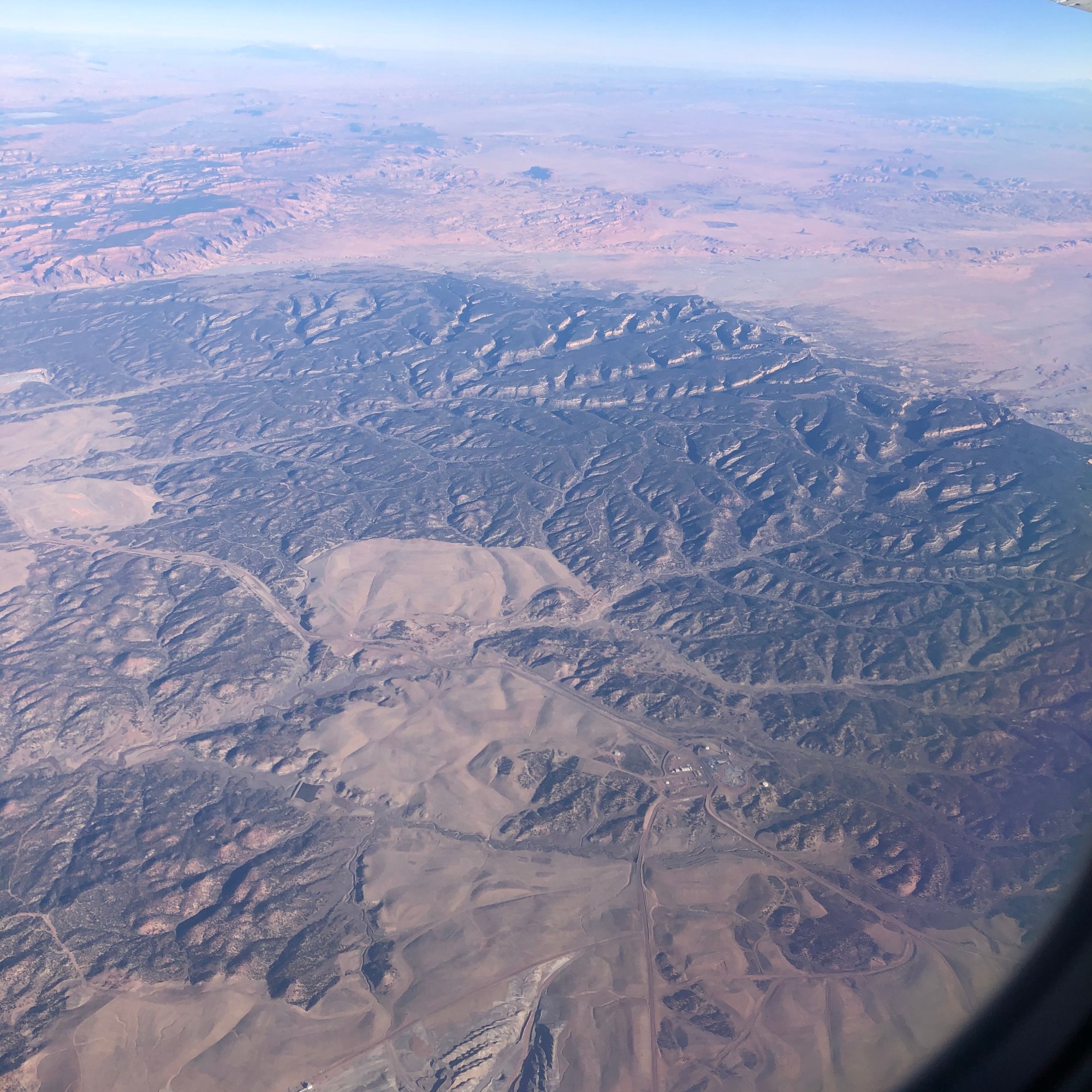
And now for some Bonus coverage from out flight back from Las Vegas!